Superlative Walks
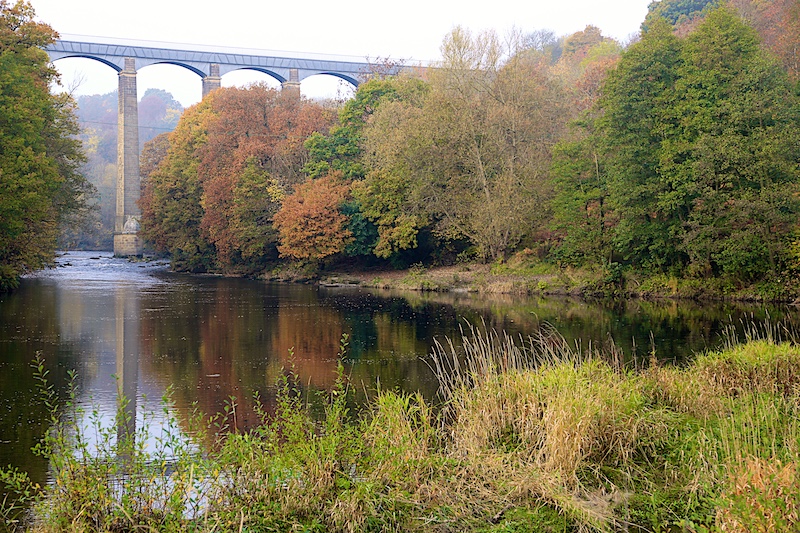
Urban trails, each with something very specialPontcysyllte Aqueduct
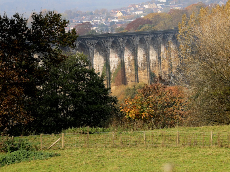
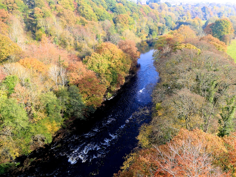
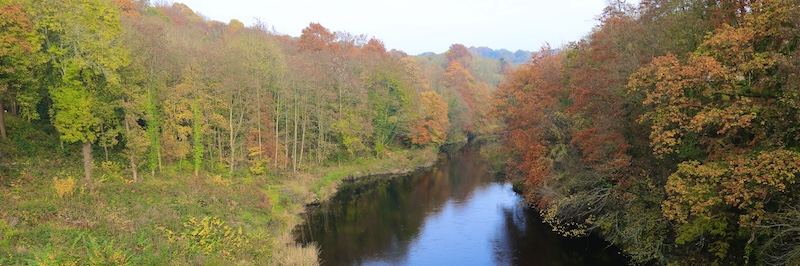
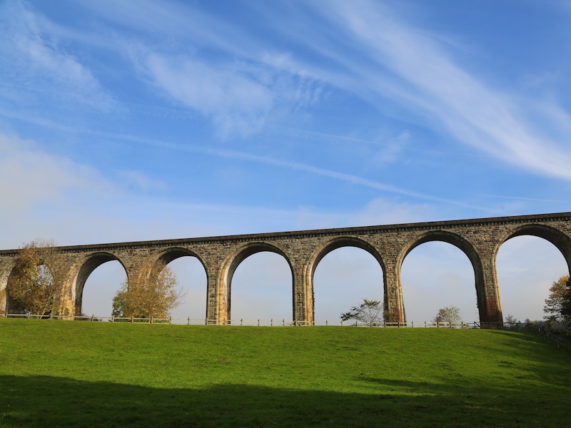
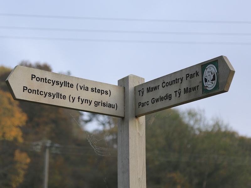
The Pontcysyllte Aqueduct walk starts and finishes at the Trevor Basin, at the Northern end of the aqueduct. It follows good paths down from one end of the aqueduct, along the partially wooded banks of the River Dee to the Cefn Viaduct and Ty Mawr Country park. It then follows a road past the village of Pentre before using the towpath of the Llangollen Canal to cross the aqueduct and return to the starting point.
Key Facts
Location: Pontcysyllte
Parking : ??
Distance:4.5 miles
Time : 2.5 hours (excluding stops)
Ascent/Descent:
Map: ???
The Map
We have used the excellent Plotaroute to lay out and display our walks. With this map you can print, zoom and carry out other functions using the menu at the top right of the box. Alternatively you can click on the link below the map to visit the walk on the plotaroute site.
For your convenience we offer the directions in two different formats
CLICK TO SELECT YOUR PREFERRED OPTION
- Directions and added information with pictures of key sites. Best for browsing at home.
- Directions only. For simple printing to take on the walk.
- Directions and added information, no pictures. For printing to take on the walk.
- Directions and added information in toggle boxes. Best if you are using your mobile device on the walk.
We welcome comments on our walks.
Appreciation, constructive suggestions, variations or observations are all welcomed. We now have FACEBOOK PAGE . Please do visit us, like us and add comments.