Superlative Walks
Urban trails, each with something very specialPRESTON
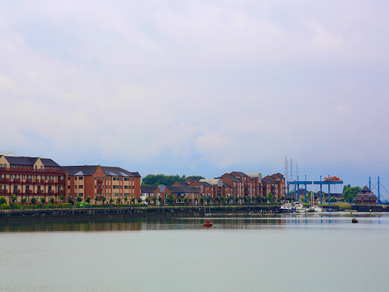
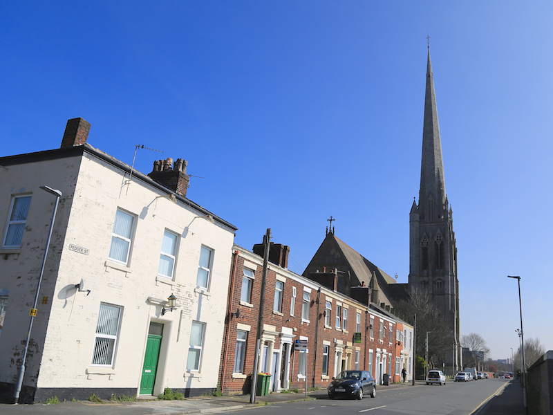
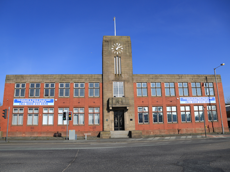
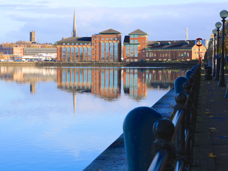
The Preston walk starts and finishes at Riversway, the site of the former Preston Dock. The route passes St Walburge’s Church and the campus of the University of Central Lancashire to the City Centre, with a group of interesting public buildings. The route then passes though Winckley Square Gardens and Avenham and Miller Parks. It then follows the River Ribble back to Riversway. The route follows surfaced roads and paths for its entire length.
Key Facts
Location: Preston
Parking : Morrisons Car Park. OS Grid Reference 516298 on OS Landranger 102
Distance: 5.4 miles
Time : 3 hours (excluding stops)
Ascent/Descent: 255 feet
Map: Landranger102n
The Map
We have used the excellent Plotaroute to lay out and display our walks. With this map you can print, zoom and carry out other functions using the menu at the top right of the box. Alternatively you can click on the link below the map to visit the walk on the plotaroute site.
For your convenience we offer the directions in two different formats
CLICK TO SELECT YOUR PREFERRED OPTION
- Directions and added information with pictures of key sites. Best for browsing at home or on your mobile
- Directions and added information, no pictures. For printing to take on the walk.
We welcome comments on our walks.
Appreciation, constructive suggestions, variations or observations are all welcomed. We now have FACEBOOK PAGE . Please do visit us, like us and add comments.