Superlative Walks
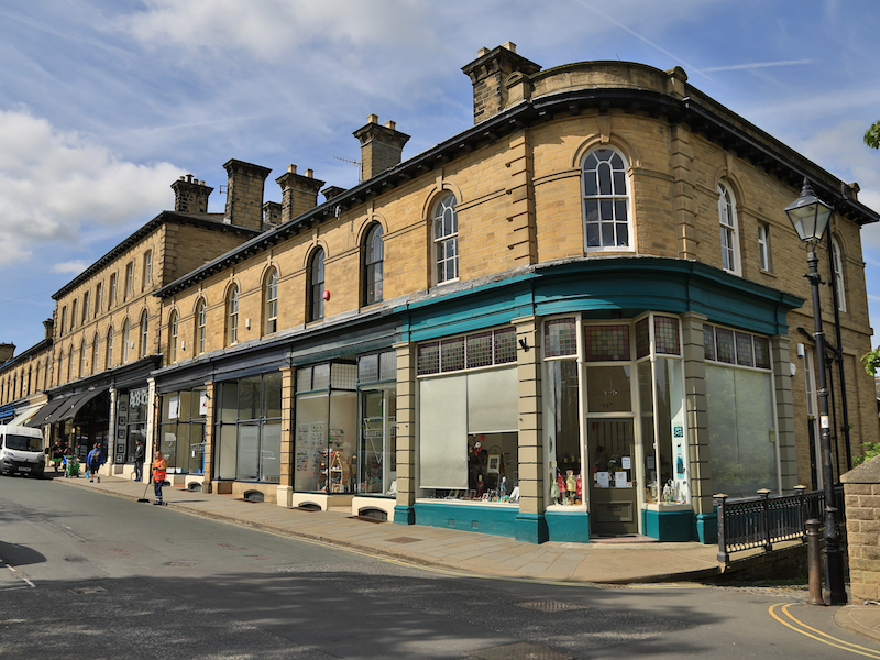
Urban trails, each with something very specialSaltaire
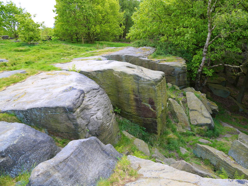
The Saltaire walk starts and finishes at Saltaire Railway Station, in the “model village” of Saltaire. The walk goes along the towpath of the Leeds -Liverpool Canal before passing through woodlands then small settlements before climbing on to Baildon Moor before descending into Shipley Glen and returning to the starting location. Some stretches may be muddy after wet weather.
Key Facts
Location: Saltaire Parking : Salts Mill Large free Car Park OS GR 144378 Distance: 5 miles Time : 2.5 hours (excluding stops) Ascent/Descent: 500 feet Map: OS Explorer 288
The Map
We have used the excellent Plotaroute to lay out and display our walks. With this map you can print, zoom and carry out other functions using the menu at the top right of the box. Alternatively you can click on the link below the map to visit the walk on the plotaroute site.
For your convenience we offer the directions in two different formats
- Directions and added information with pictures of key sites. Best for browsing at home or on your mobile
- Directions and added information, no pictures. For printing to take on the walk.
We welcome comments on our walks.
Appreciation, constructive suggestions, variations or observations are all welcomed. We now have FACEBOOK PAGE . Please do visit us, like us and add comments.