Superlative Walks
Urban and rural trails, each with something very specialALTRINCHAM DIRECTIONS
Background
Historically part of Cheshire, Altrincham was established as a market town in 1290, a time when the economy of most communities was based on agriculture rather than trade, and there is still a market in the town today. Further development came with the extension of the Bridgewater Canal to Altrincham in 1765 and the arrival of the railway in 1849, stimulating industrial activity in the town. Outlying villages were absorbed by Altrincham’s subsequent growth, along with the grounds of Dunham Massey Hall, formerly the home of the Earl of Stamford, and now a tourist attraction with three Grade I Listed Buildings and a deer park.
Altrincham today is an affluent commuter town, partly because of its transport links. Altrincham FC has a history of giant-killing in the FA Cup, holding the record of knocking out more Football League sides than any other club that has spent its entire history playing in non-League football. To date the club has recorded seventeen victories against Football League clubs. Altrincham is also home to three ice hockey clubs: Manchester Storm, Altrincham Aces and Trafford Tornados. Altrincham’s population was 45,809 in 2011.
The Walk
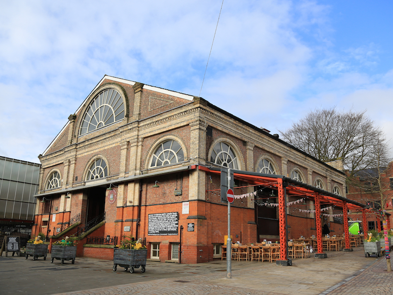
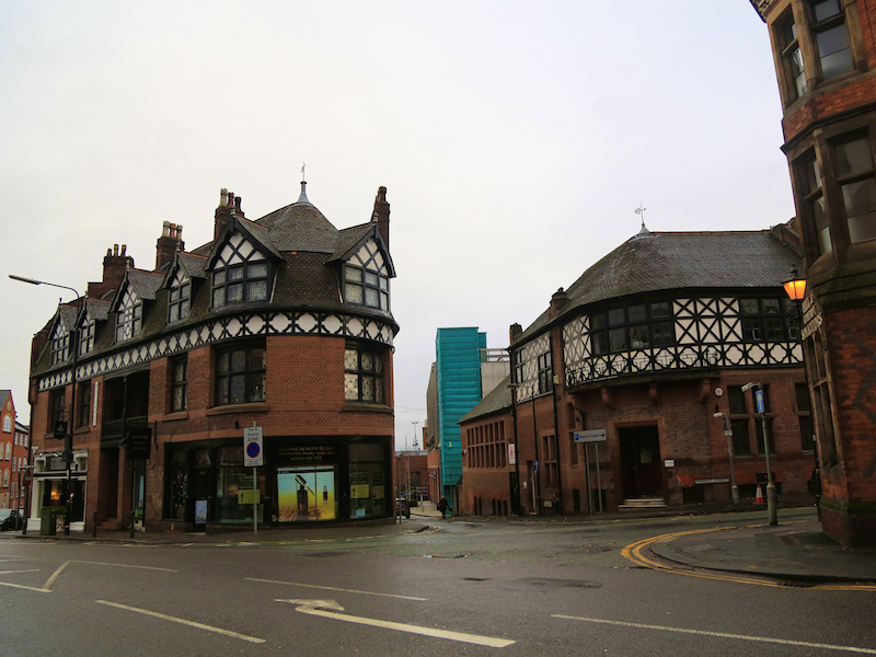
Altrincham Market Hall is the start and finish point for this walk. The Market is on Greenwood Street at WA14 1SA, and was Best Market in the Observer Food Monthly Awards 2015. See http://www.altrinchammarket.co.uk/
The Market House is now occupied by a variety of food and drink shops. The market is described as:
Passionately regional, we are a celebration of the identity and culture of England’s North West in an age where identity is being constantly eroded in the hands of corporates obsessed with brand.
The market building outside the Market House has different types of market on every day of the week (closed Mondays and Wednesdays).
1. Begin the walk by leaving the Market House by the lower exit (below the flight of steps). Turn right out of the door. At the end, cross Regent Road and then go straight across into New Street.
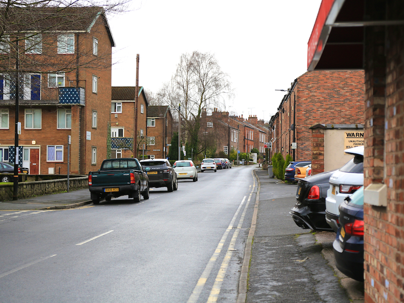
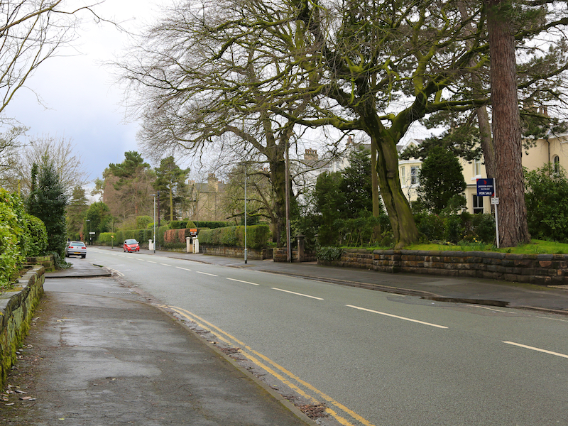
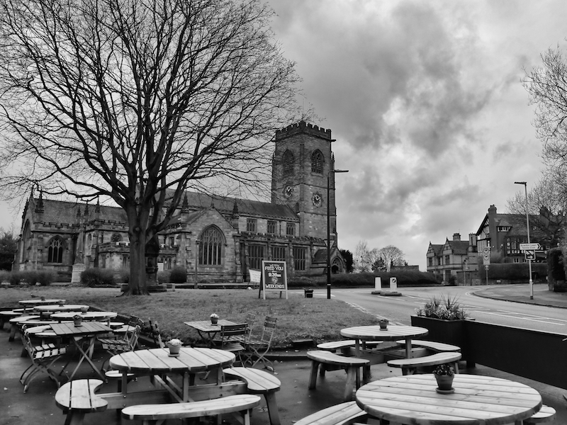
2. At the end of New Street, turn right onto Higher Downs, then turn right at the crossroads with Cavendish Road. Bear left at the next junction onto The Firs. At the bottom, reach St Mary’s church in Bowdon.
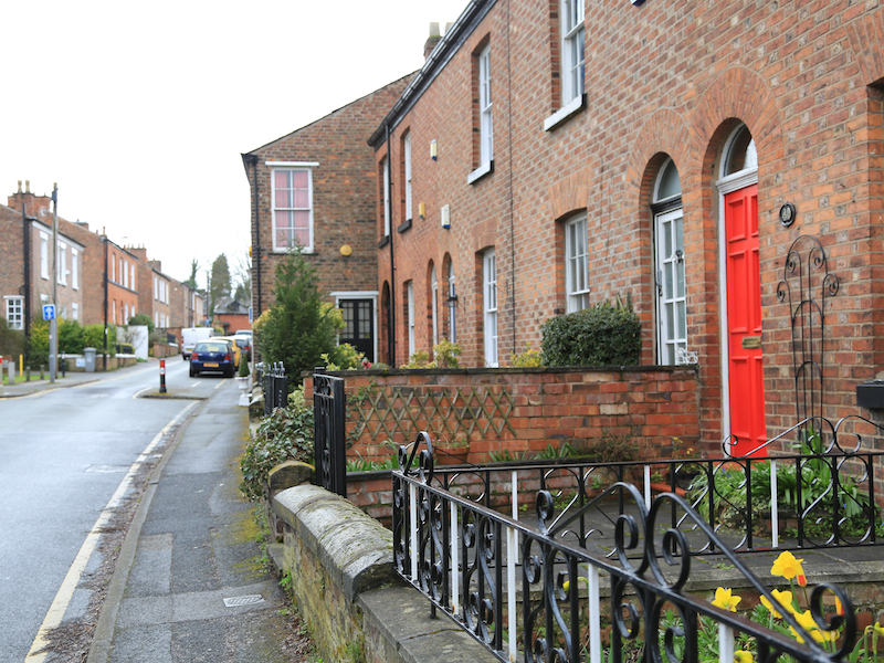
There are some interesting old cottages at the top of Church Brow to the right of the church.


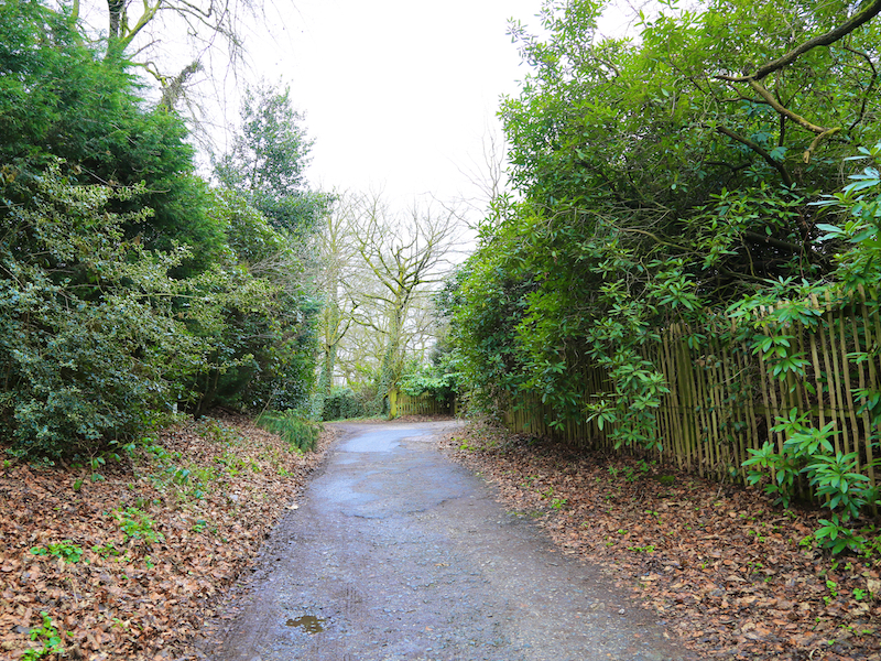
3. Turn right from The Firs onto Green Walk, continuing onto the traffic free route, to Dunham Road/A56.
Just up the road to the right here is the headquarters of The Vegetarian Society. Established in 1847, it is the oldest vegetarian organisation in the world.
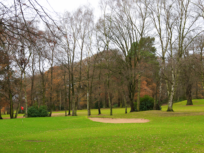
4. Go straight across Dunham Road and take the path which crosses the golf course, keeping straight on at the T-junction, just before the 12th tee on the right. Turn left at the yellow post and cross the fairway, heading for another yellow post on the far side, then follow the footpath.
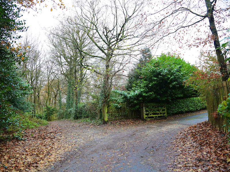

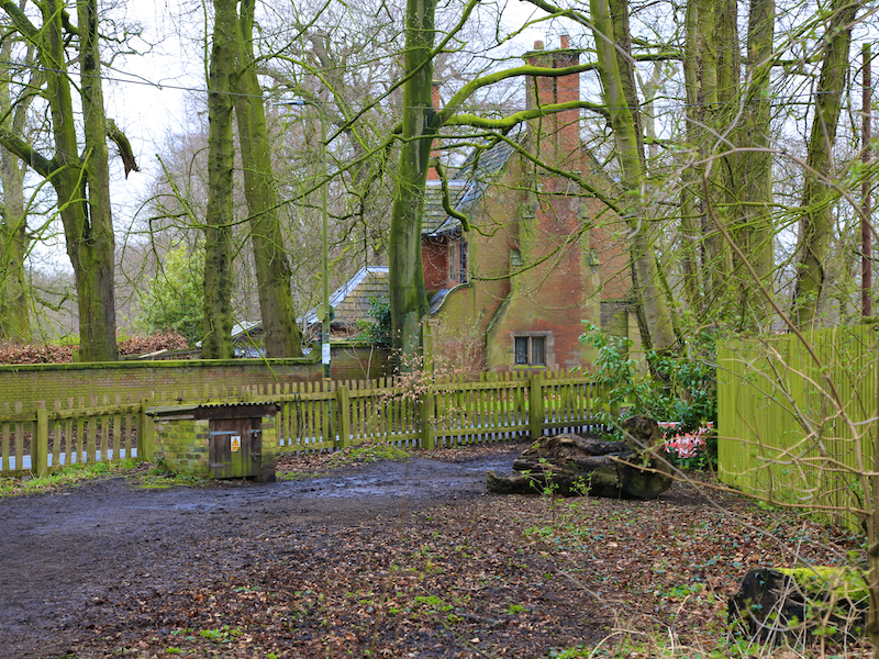
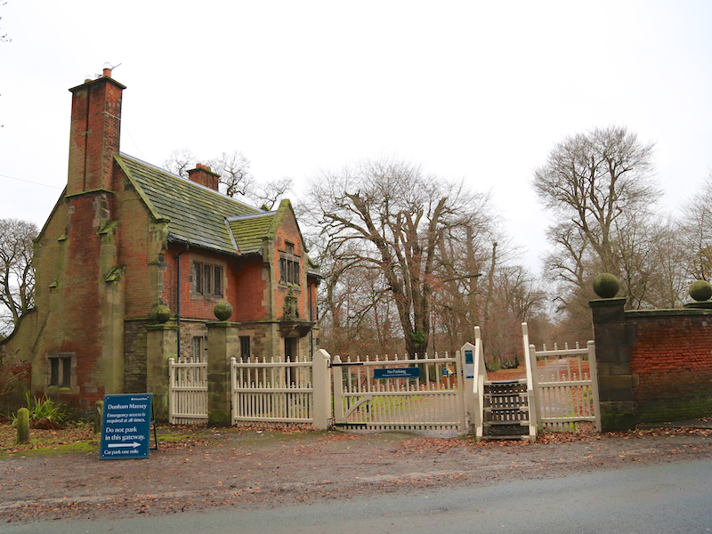
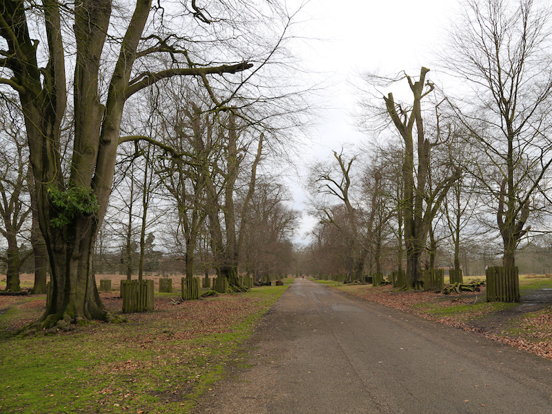
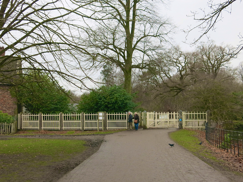
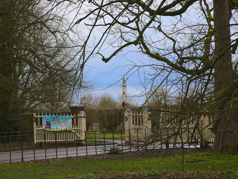
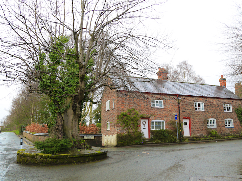
5. The path comes out onto Charcoal Road. Turn right, cross the road after a short distance and enter Dunham Massey Park by the gatehouse and the steps next to the white gates.
Dunham Massey is a fine National Trust house and garden, including a large and impressive winter garden. For more information, see https://www.nationaltrust.org.uk/dunham-massey. It was designated a site of special scientific interest in 1965 because of its biological content. Dunham Park has been managed by the National Trust since 1976.
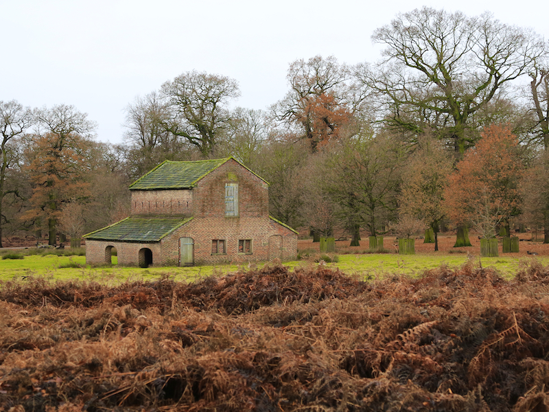
6. Follow Main Drive all the way to the Hall itself, which is worth exploring if there is time.
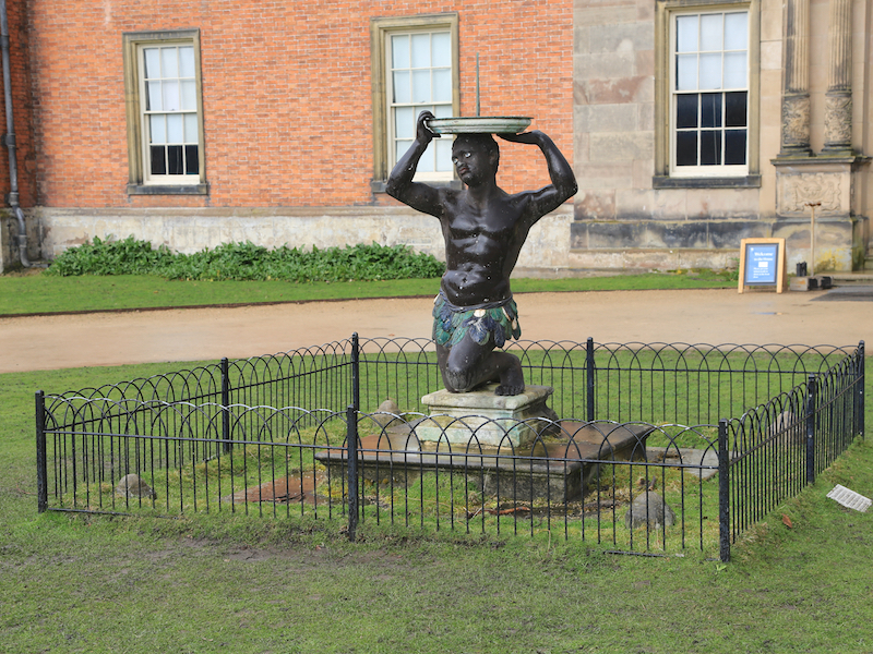
In front of the Hall, note the curious statue of a Moor (NOT a slave) which is said to symbolise Africa

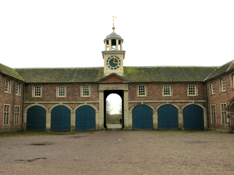
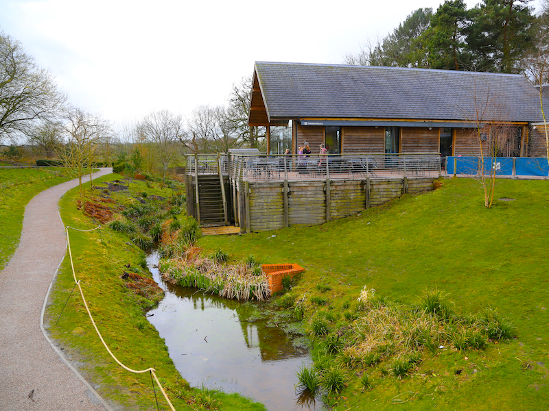
7. At the front of the hall, turn left through the archway, then right on the path, through the gate and then immediately left and out through the Visitor Centre. Turn right and leave the car park onto Woodhouse Lane.
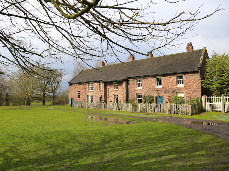
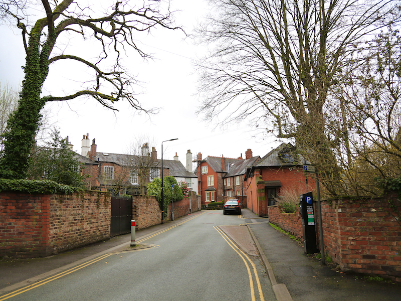
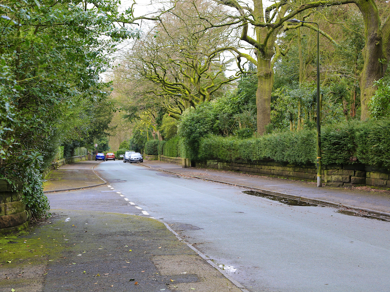
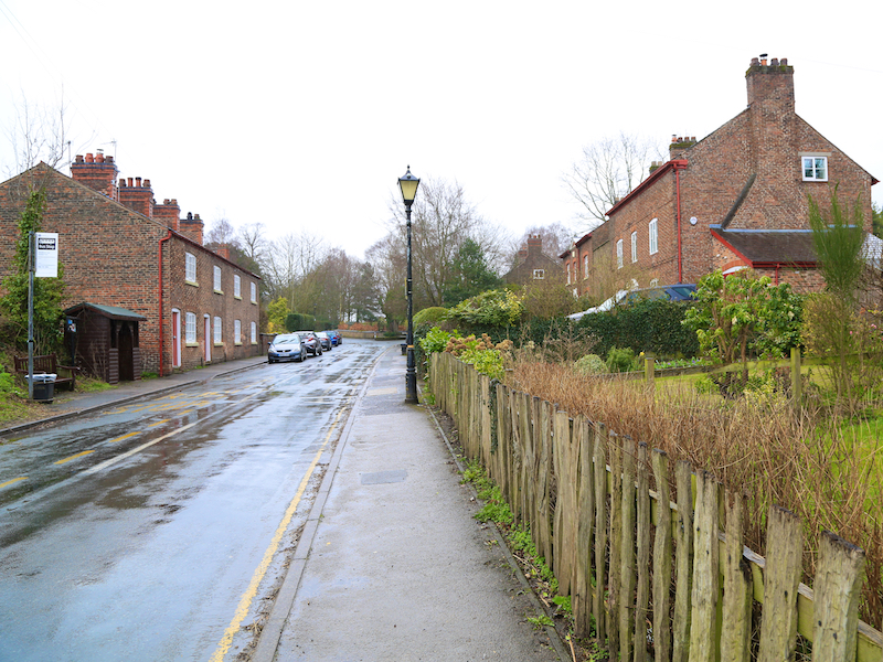
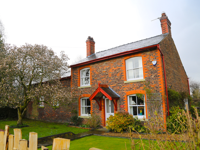
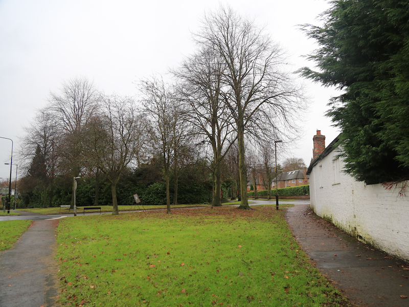
8. Turn right along the road, then eventually left, following Woodhouse Lane as it goes off into Dunham Town, a small village with several interesting houses, many of which are in National Trust ownership.


9. At the first junction on the right, a small diversion is possible by turning right into Charcoal Road at the tree in the middle of the junction, then left onto Oldfield Lane.
After a few yards on the left is the Dunham Massey Brewing Company. See http://www.dunhammasseybrewing.co.uk for opening times for a visit.
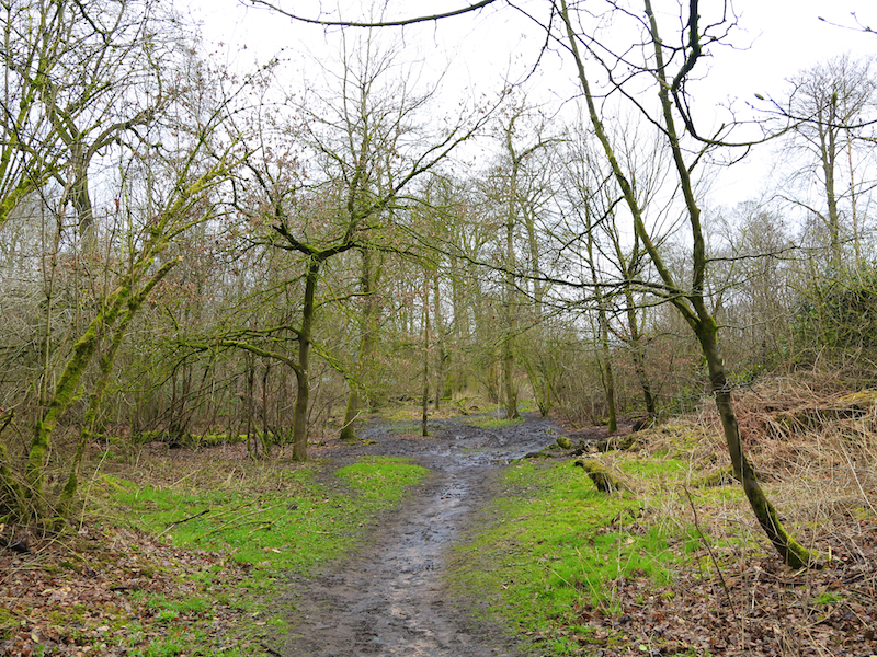
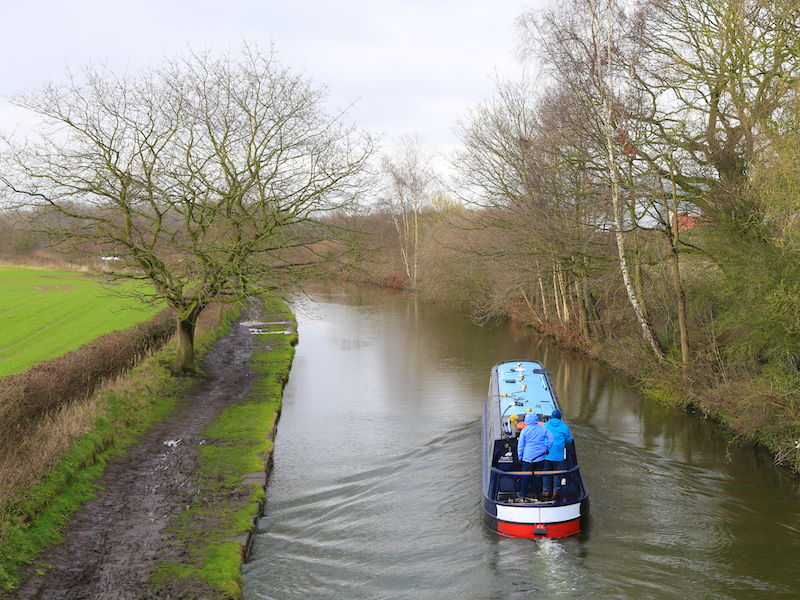
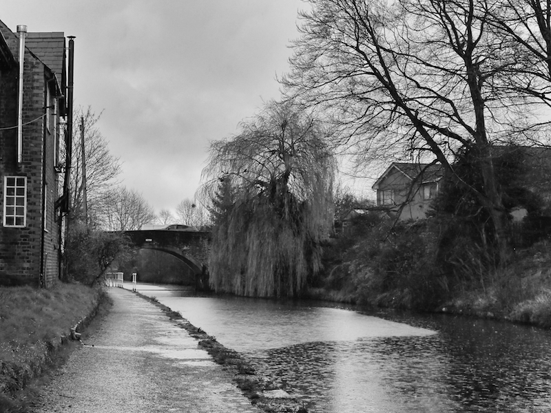
10. After either taking the diversion and returning to the tree mini-roundabout or staying on the same road, follow School Lane up to the canal bridge. Cross the bridge and turn right onto the canal towpath. The towpath here is sometimes muddy for some distance.
The Bridgewater Canal is sometimes described as England’s first canal. Named after its owner, Francis Egerton the third Duke of Bridgewater, who built the canal to transport coal from his mines at Worsley to the industrial areas of Manchester, the Bridgewater Canal was the forerunner of canal networks.
Opened on 17th July 1761, the Bridgewater Canal has a special place in history as the first canal in Britain to be built without following an existing watercourse, and so became a model for those that followed it.
Affectionately known as the Duke’s Cut, the Bridgewater Canal revolutionised transport in this country and marked the beginning of the golden canal era which followed from 1760 to 1830. For more information see http://www.bridgewatercanal.co.uk/history/default.aspx

11. Walk along the canal towpath until reaching the first bridge, then leave the canal. The exit is 30 metres before the bridge on the left. Turn right over the bridge, taking care here as the traffic-light-controlled bridge is narrow and has no footpath.
12. This is Seamon’s Road. Walk along here, turning right into Gorsey Lane and immediately left into Wainwright Road, then right into Hartley Road which becomes Booth Road, passing several school buildings, and back to Dunham Road.
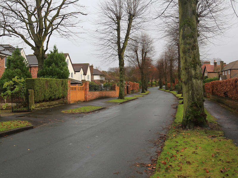
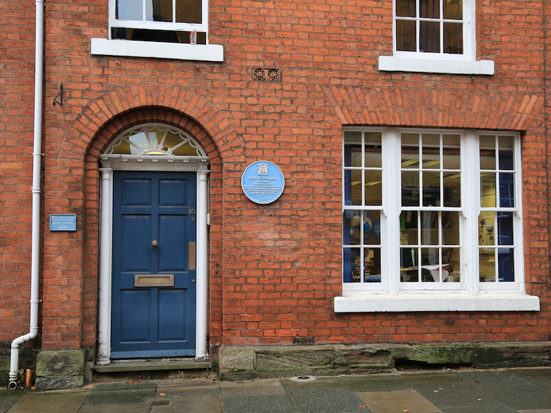
13. Turn left here onto Dunham Road, staying on the left side, until reaching a sharpish bend in the road, where there are several interesting buildings. Cross Dunham Road, and turn sharp right onto Market Street.
On the right is a blue plaque, which reads:
Helen M E Allingham, 1848-1926, Watercolour Artist. Her family lived in the area 1849-1862. She married Irish poet W Allingham 1874. Elected first woman member, Royal Watercolour Society, 1875
14. Continue along Market Street to the Market House, where the walk ends.