Superlative Walks
Urban trails, each with something very specialBURNLEY
Key Facts
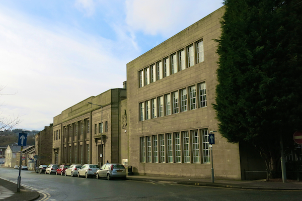
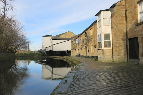
The Burnley walk starts and finishes in Towneley Park, which adjoins the Town Centre. The park includes Towneley Hall, a well-preserved stately home, started in the 14th century, which is open to visitors. The walk goes through the park into the Town near to Burnley FC’s Turf Moor stadium. The route then joins the towpath of the Leeds -Liverpool Canal before descending into the Town Centre, where there are some fine buildings. The route then returns to Towneley via the Burnley Wood area.
Key Facts
Location: Burnley
Parking : Parking Barwise Car Park serving a picnic area in Towneley Park, off Todmorden Road OS grid reference 851307
Distance: 5 miles
Time : 2.5 hours (excluding stops)
Ascent/Descent: 337 feet
Map: OS Explorer OS map Landranger 103
The Map
We have used the excellent Plotaroute to lay out and display our walks. With this map you can print, zoom and carry out other functions using the menu at the top right of the box. Alternatively you can click on the link below the map to visit the walk on the plotaroute site.
For your convenience we offer the directions in two different formats
CLICK TO SELECT YOUR PREFERRED OPTION
- Directions and added information with pictures of key sites. Best for browsing at home or on your mobile
- Directions and added information, no pictures. For printing to take on the walk.
We welcome comments on our walks.
Appreciation, constructive suggestions, variations or observations are all welcomed. We now have FACEBOOK PAGE . Please do visit us, like us and add comments.


