Superlative Walks
Urban and rural trails, each with something very specialBurnley – Directions
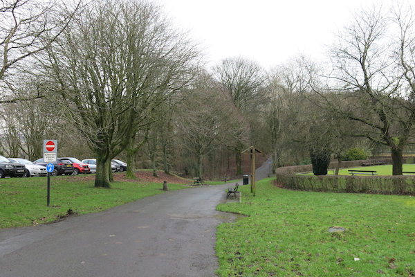
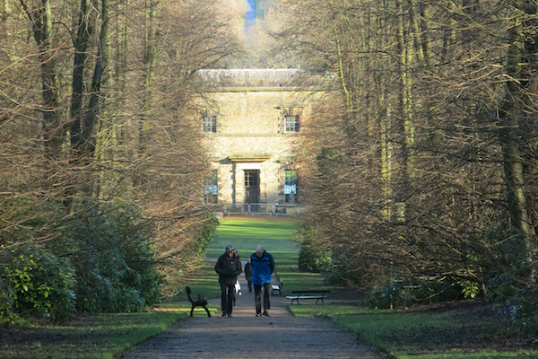
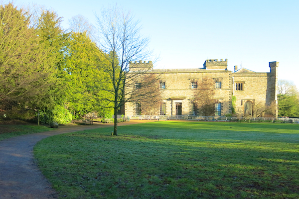
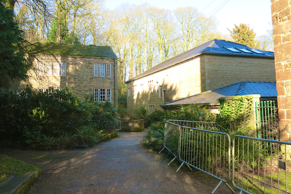
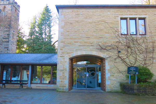
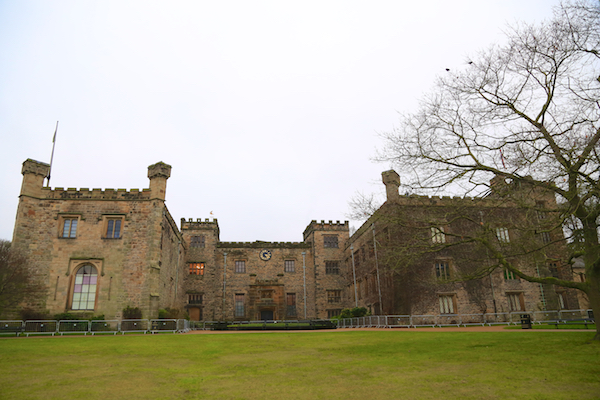
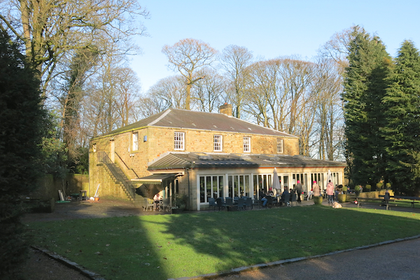
1. The walk begins at the Barwise Car Park serving a picnic area in Towneley Park, off Todmorden Road (grid reference 851307 on OS map Landranger 103.) Leave the car park downhill through a gate and follow signs to Towneley Hall, Museum etc, By Foldy’s Cross go down a straight path, between trees, with part of the Hall visible at the bottom. At the Hall walk left around the building on a narrow path to reach the visitor centre and entrance to the Hall. There are public toilets in the visitor centre.
Towneley Hall was started in the late 14th century and developed over the following centuries it was the home of the Towneley family until it was sold to Burnley Corporation in 1901. It contains some fine internal architecture and an interesting collection of paintings. The visitor centre occupies an extension built in 2002, using Heritage Lottery funding.
The town is the first place in the UK where regular rainfall measurements were taken by Richard Towneley. He began in January 1677 and published records of monthly rainfall for 15 years from that time. He wrote that at Towneley there was twice the quantity of rain that fell in Paris.
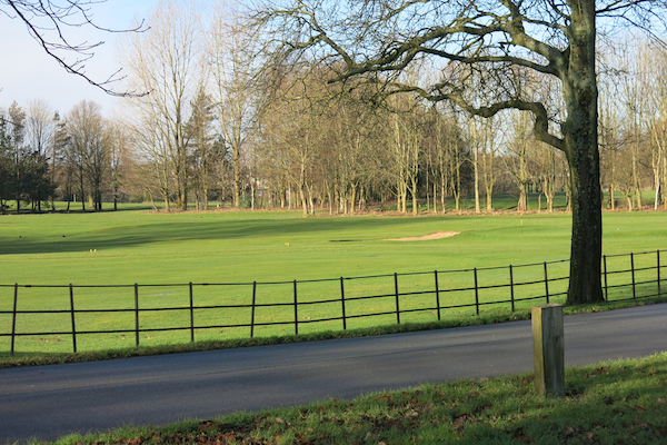
2. Walking away from the front of the Hall, pass (or visit) the Stables Cafe on the left and a Lake with fountain on the right. Turn left along Hall Road, taking the footpath on its right side. Towneley Golf Club is on the left.
Towneley Park is the largest park in Burnley with a total of 180 hectares of landscaped parkland surrounding Towneley Hall. It has a long history as a private estate, with much of its landscape the result of work carried out in the late eighteenth century by Charles Towneley.
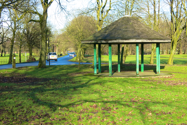
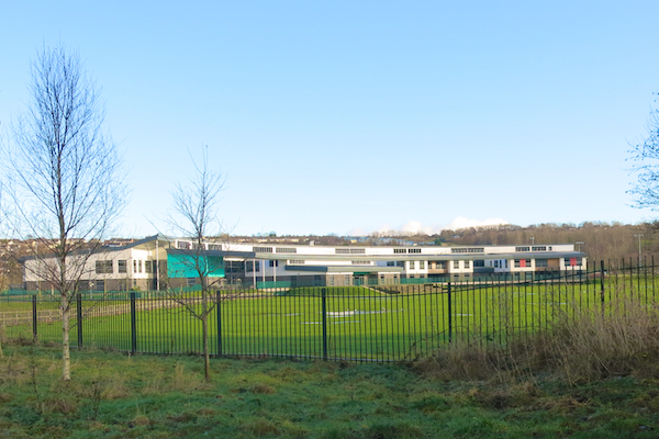
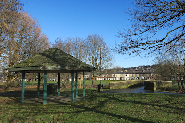
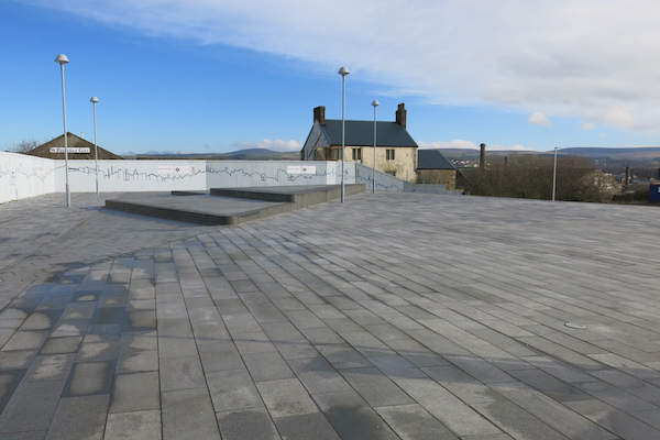
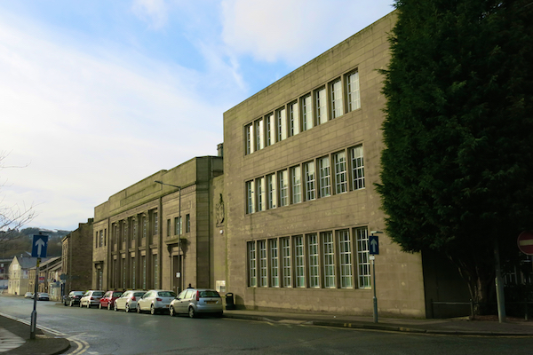
3. At a junction by an octagonal shelter continue straight on. On the right is the recently built Unity College. Pass to the left of a second octagonal structure by a bridge.
The College initially occupied the former Towneley High School, but moved to a new £33m building in September 2010 as part of the Building Schools for the Future programme.The school was named by a local pupil, Heather Ashworth, who won a competition launched by the local radio station. The county council’s decision to site the new building on playing-fields close to the old school, rather than reusing the existing site, was contentious. Despite plans to turn the old site into parkland, objections from local residents prompted the borough council’s refusal to sell the land, triggering a 2007 public inquiry that subsequently backed the plans.
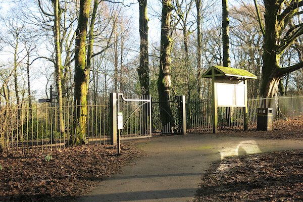
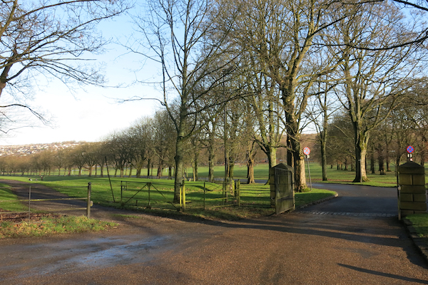
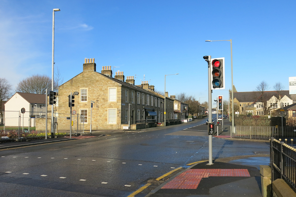
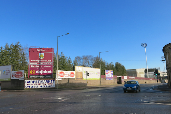
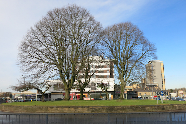
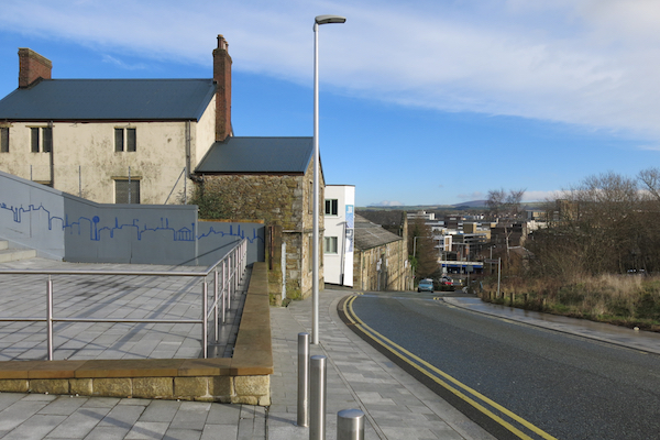
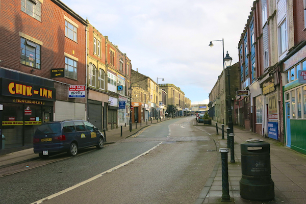
4. At the Park gates, turn right on to Todmorden Road. Continue straight on at the first set of traffic lights and cross to the left side of Todmorden Road. Pass “the Forresters Arms’ on the left. At the next set of traffic lights, at the junction of Todmorden Road and Yorkshire Street, look to the right and see Burnley FC’s Turf Moor. A short detour to the stadium would add a few hundred metres.
Burnley were one of the founder members of the Football League in 1888. They are one of only three teams to have won all top four professional divisions of English football, along with Wolverhampton Wanderers and Preston North End. Only Preston North End have occupied the same ground continuously for longer.
Burnley were the first team in the world to build a training ground next to the stadium, while every other team still trained in their own stadium. In May 1988, Burnley played Wolves in the final of the Football League Trophy. A capacity crowd of 80,000 people packed Wembley was a record for a match between two teams from English football’s fourth tier. This is believed to be the highest attendance in world football for a lower league cup final. Wolves won 2–0. In 2007–08, Gifton Noel-Williams’ three goals against Barnsley made him the first substitute in a league game to inspire victory with a hat-trick.
Burnley Cricket Club play on a ground next to the football stadium. It was a founder member of the Lancashire League in 1892 and has won the League Championship 15 times. One of its prominent former players is James Anderson, who went on to play for Lancashire and England, becoming England’s leading wicket taker in Test matches.
5. At the junction, turn left into Yorkshire Street. Pass Plumbe Street and Turf Street on the left and walk under the aqueduct to a roundabout. Turn left and walk towards the large Tesco store in Centenary Way.
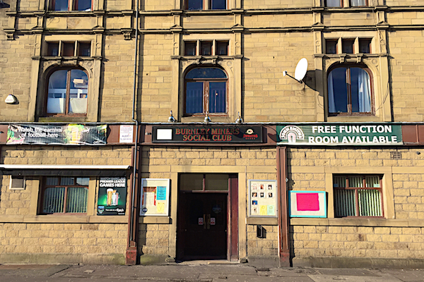
In Plumbe Street is the Burnley Miners’ Club which hosts the improbable superlative as the world’s leading consumer of the French liqueur, Benedictine – over 1000 bottles per year.. It became popular with soldiers from East Lancashire, who were based for a time near the abbey where the drink is made in Normandy, in 1918. The local drink Bene’n’ot – combining the liqueur and hot water – is a popular local conclusion to a night out.
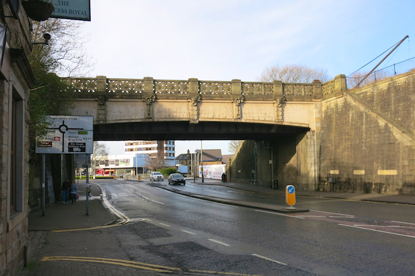
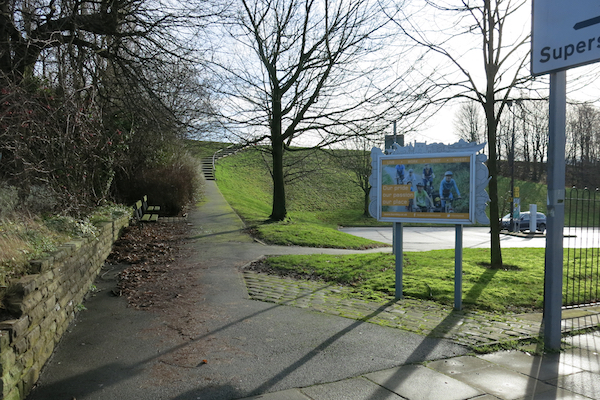
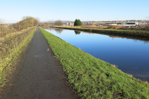
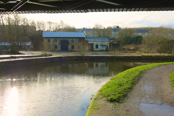
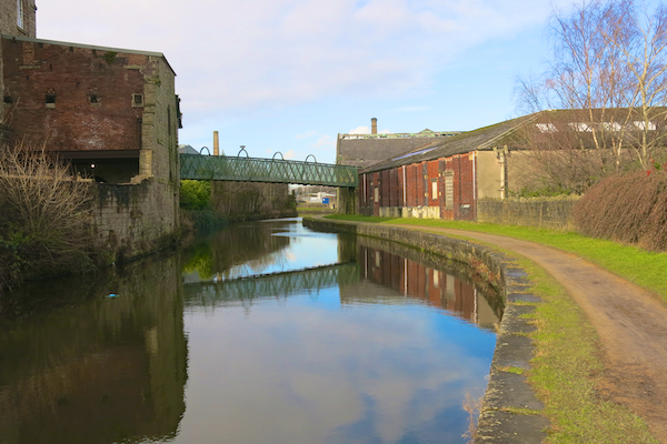
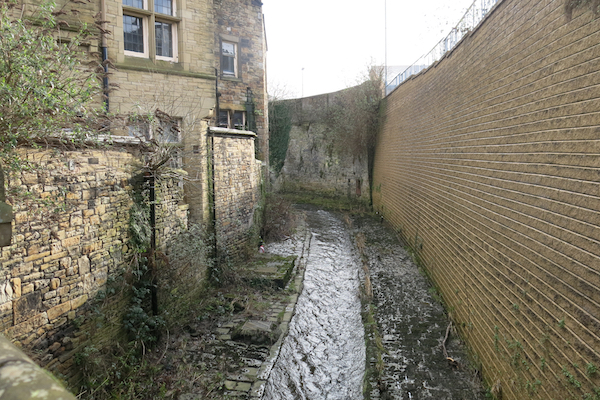
6. Opposite the bus station, between two car parks, turn left along a path and then climb the side of the embankment on steps to reach the Leeds-Liverpool Canal at the “straight mile.” Turn right and follow the towpath for the next 1.6km. After Bridge 130E the canal turns sharp right and then meanders with the ruins and remains of mill buildings on both sides of the canal.
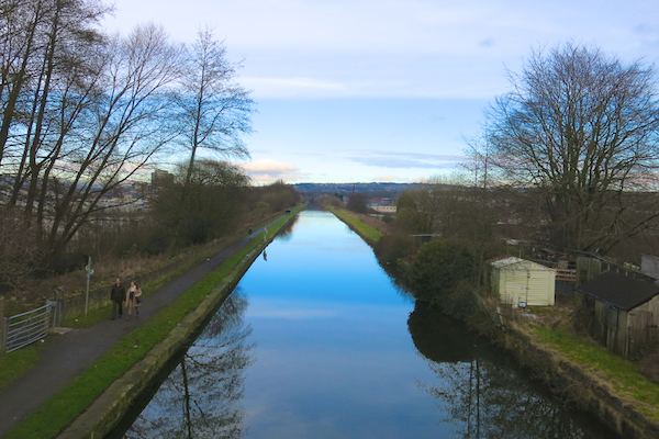
At 127 miles, excluding branches, the Leeds-Liverpool is Britain’s longest single canal, built between 1770 and 1816. The embankment is almost 20 metres high and carries the canal for a straight – well, not a mile but about three-quarters (1000 metres) with fine views across the town on both sides. It was built between 1796 and 1801. Though costly to construct, it meant the valley could be traversed by the canal without the need for two systems of locks. The embankment is widely regarded as one of the “seven wonders” of the British Waterway System.
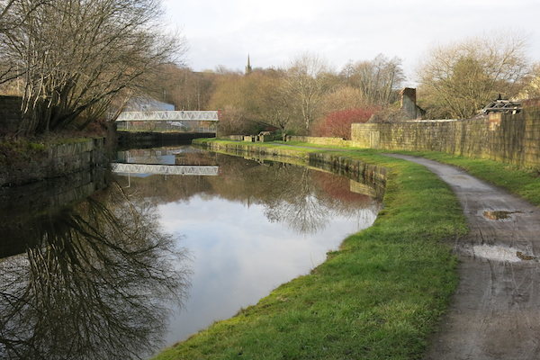
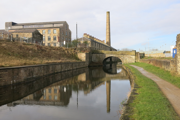
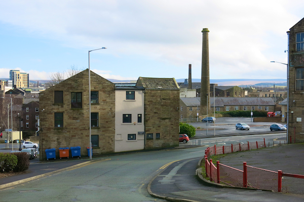
7. After walking on the towpath under a road bridge the next bridge is 130B and the start of the Weavers’ Triangle.
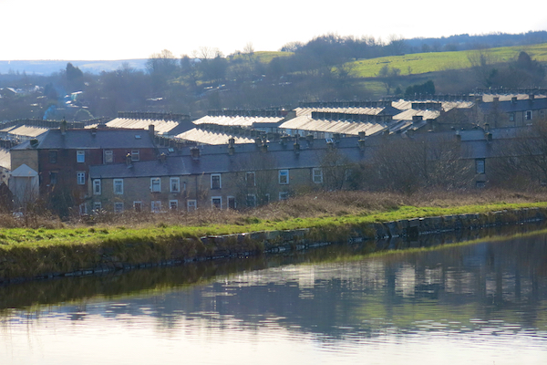
The Weavers’ Triangle is an area of mostly of 19th-century industrial buildings clustered around the Leeds and Liverpool Canal. The area has significant historic interest as the cotton mills and associated buildings encapsulate the social and economic development of the town and its weaving industry. From the 1980s, the area has been the focus of major redevelopment efforts.
Although cotton manufacture started in Burnley in the 18th century, the 1840s proved pivotal to the development of the area. The canal company began allowing mills to take the water they needed for steam engines directly from the canal. In 1848, the East Lancashire Railway opened to the area and in 1849, the Manchester and Leeds Railway opened a branch from Todmorden to Burnley. The second half of the 19th century saw Burnley develop into the most important cotton-weaving town in the world. The area later to be known as the weavers’ triangle officially became part of the town in 1894. By 1911, the town’s textile industry was at the height of its prosperity, and there were approximately 99,000 power looms in operation.The town’s population had grown from 4,000 in 1801 to over 100,000.
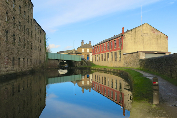
The Weavers Triangle visitor centre adjoins bridge 130B as does a Toll House and a large pub.
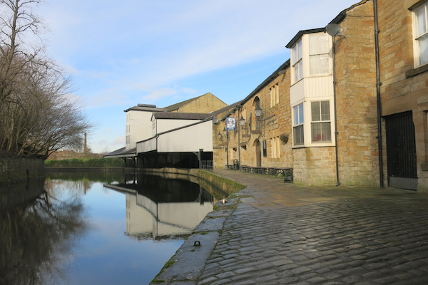
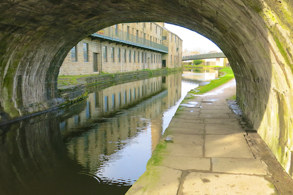
8. Continue along the towpath beneath bridge 130A to Bridge 130. Just beyond the bridge is Slater Terrace. Opposite Slater Terrace turn right up steps beside a new footbridge – Sandygate Bridge.
George Slater was born in 1807. He employed over 300 people and built and managed three mills in Sandygate. Slater Terrace was an unusual row of two up two down houses built above a warehouse by George Slater for his workers. They were slightly better quality than the typical housing of the time. Despite that, it didn’t take long for the eleven cottages to become crammed with workers and their families, including a cotton weaver, blacksmith, tailor, engineer and dressmaker. The 1861 census reveals that twelve members of two families shared four rooms in one of the dwellings.
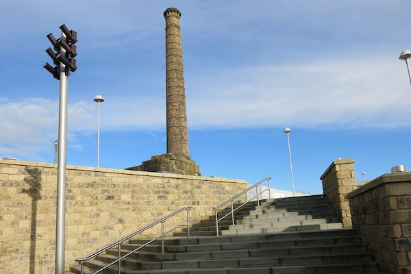
9. At the top of the steps, cross the new Sandygate Square diagonally to the right. At the far side, turn left down Sandgate towards the Town Centre. Sandygate bends to the right towards a factory chimney. Follow the road round the bend and then, at the junction with King Street, cross the pedestrian crossing, turn left for a short distance and then right into St James’s Street.
Sandygate Square is at the heart of the the “On The Banks” regeneration project.
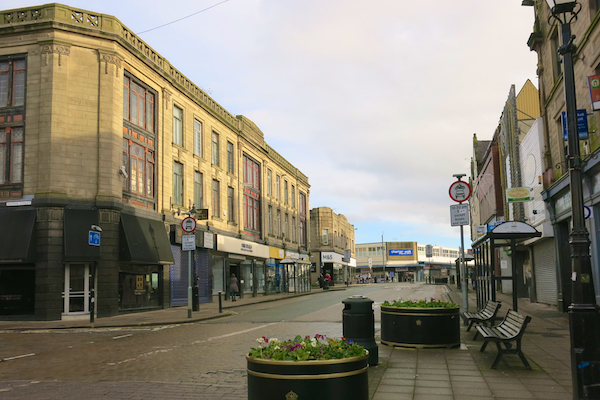
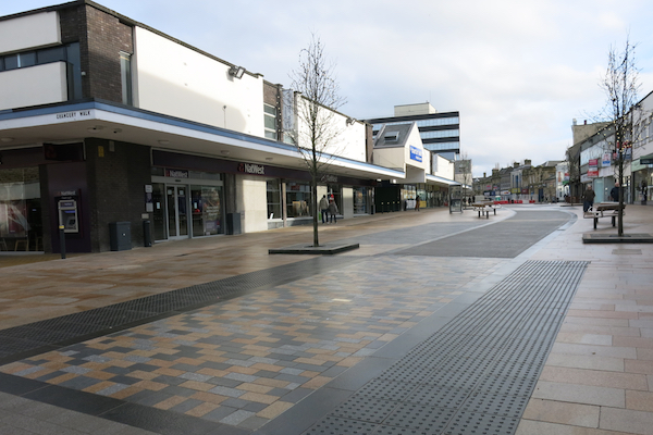
10. Walk along the right side of St James Street. Cross the bridge over the, rather narrow, River Calder. Note the Red Triangle Cafe on the right and the Empire Buildings on the left. Beyond the Marks & Spencer building on the left is the Charter Walk Shopping Centre, Burnley’s major shopping area. Continue along a pedestrianised area. Pass the junction with Manchester Road and then turn right into Parker Lane.
The Charter Walk Shopping Centre was developed between 1964 and 1975 and refurbished in the 1990s. At its heart is a large, busy market hall, at first floor level with a curving “north light” roof, similar to many such roofs in Burnley’s cotton mills. A detour to visit the market adds only a couple of hundred metres to the route.
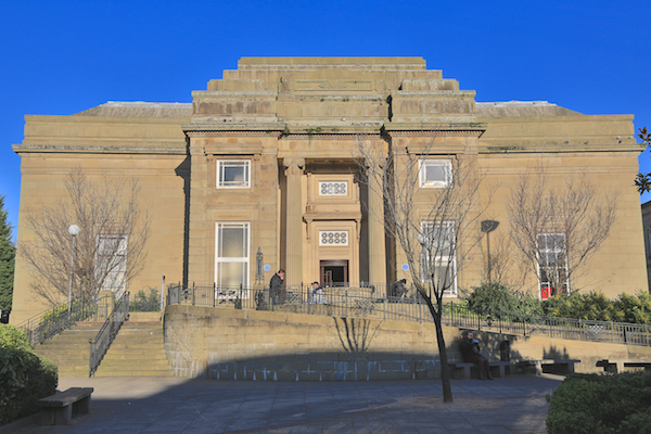
11. Walk along Parker Lane, crossing Red Lion Street and beyond the public library turn left into Place de Vitry sur Seine.
This area contains some of Burnley’s grandest buildings. First, on the right of Parker Lane, is the Borough Building Society built in 1959/60. Beyond Red Lion Street, also on the right, is the Burnley Building Society built in 1927-30. In the Place, on the left is the Library, built with Carnegie funds in 1929-30. Opposite the library are the Police Station and Magistrates’ Court built in 1951-55. Overall, these buildings complement one another in a modest but smart style. The square contains some interesting monuments and memorials. Vitry sur Seine is Burnley’s French twin town, on the outskirts of Paris.
12. Leave the Place along Grimshaw Street. At the traffic lights turn left into Manchester Road.
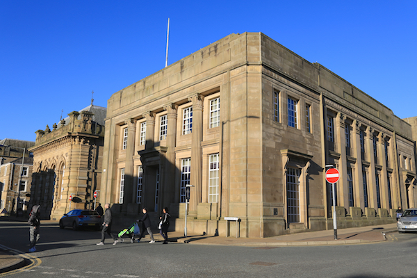
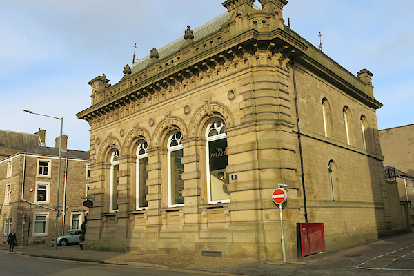
On the right of Grimshaw Street is an ornate building, now the Palazzo, an Italian Restaurant. This was previously the Nat West Bank, built in 1876 for the Manchester and County Bank in an elaborate Florentine style.
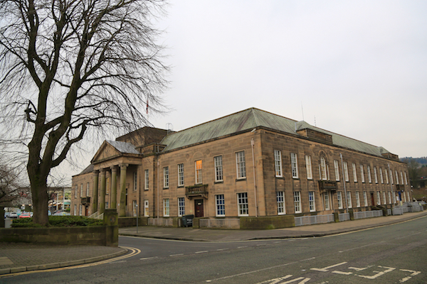
13. Walk up Manchester Road, passing the Mechanics Institute and then the Town Hall on the right. At the traffic lights, turn left into Finsley Gate.
The Burnley Mechanics is a theatre and former Mechanics’ Institute, built 1854–55 and converted to a theatre in 1979. It was a club for “reading and discussion by an ‘earnest few’. “As the town grew, the institute increasingly became a social and cultural community centre.
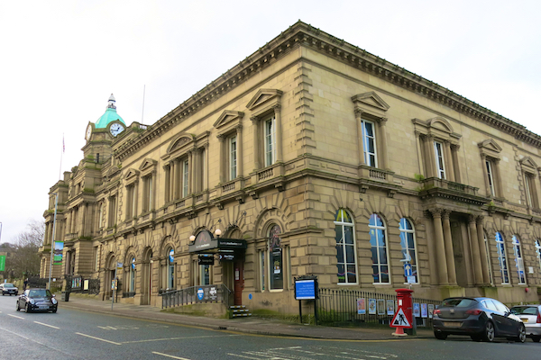
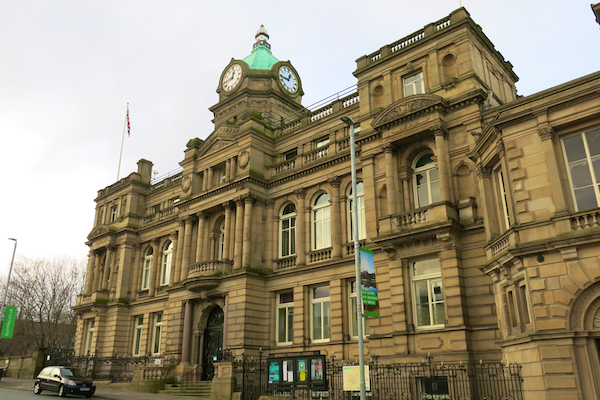
Burnley Town Hall was built in 1885-8 to a design chosen by Alfred Waterhouse in a competition.
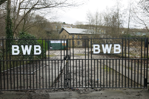
14. Walk along Finsley Gate on the left side. Pass under a road bridge. At the canal bridge (130E again) cross the road to the former British Waterways Board depot on the right of the junction with Hollingreave Road.
From the canal bridge, look over the parapet at the full length of the so-called straight mile.
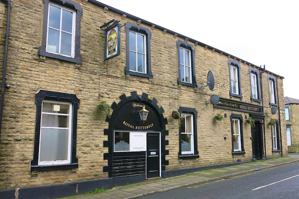
15. Turn right up Hollingreave Road, passing a curious-looking fireworks dealer on the right and the Royal Butterfly Pub on the left. Continue straight on into Brooklands Road, walk down hill to the junction with Todmorden Road Turn right and walk up Todmorden Road crossing the busy road to the far side when possible.
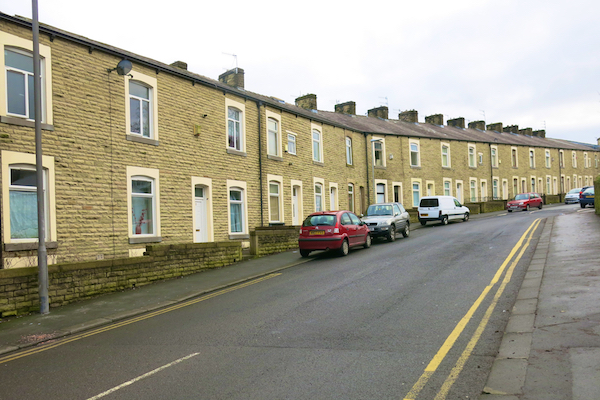
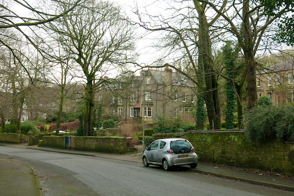
Hollingreave Road and Brooklands Road pass through a neighbourhood known as Burnley Wood.In the sixteenth-century, the area was mostly rough moorland and woodland, with a scattering of farms. From 1673 to 1819, most of Burnley Wood was glebe land in the ownership of St Peter’s Church, and as such could not be developed. However, by 1825, as Burnley began to expand rapidly as a cotton manufacturing town, back-to-back cottages and mills began to develop along the canal. Several large houses in extensive grounds were built In the second half of the nineteenth century, widespread development occurred in Burnley Wood, the residential elements having two distinct characters: large stone-built houses in spacious grounds, flanking Brooklands Road and Todmorden Road and largely providing accommodation for wealthy mill or mine owners and senior employees, and high density terraced housing for the mill and mine workers.
Burnley Wood had developed into a densely populated area of terraced housing laid out in a classic grid iron pattern of horizontal and vertical rows of mainly identikit two bedroomed houses. The majority of houses built in this period benefitted from rear yards accessed directly off back streets which were wide enough to accommodate carts and today can still accommodate modern day refuse vehicles.
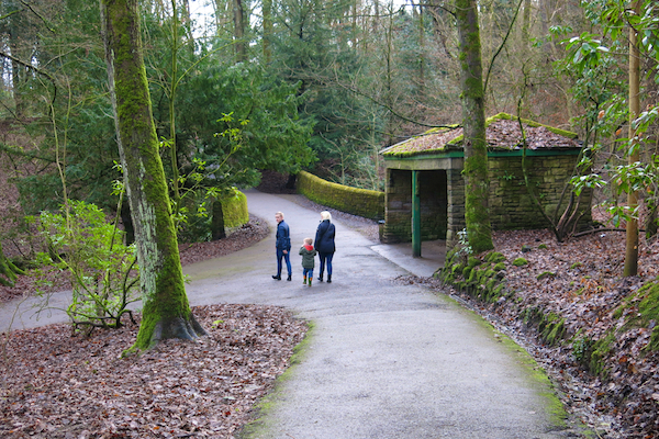
16. On the left side of Todmorden Road, walking up hill, turn left into the entrance to Towneley Golf Club and follow the path straight ahead. Note the information board and map on the right – “Towneley Causeway End.” Take the second turning on the right walking up and down hills, passing a stone shelter by a bridge and walk up hill again to return to the car park.