Superlative Walks
Urban trails, each with something very specialNantwich
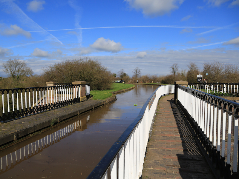
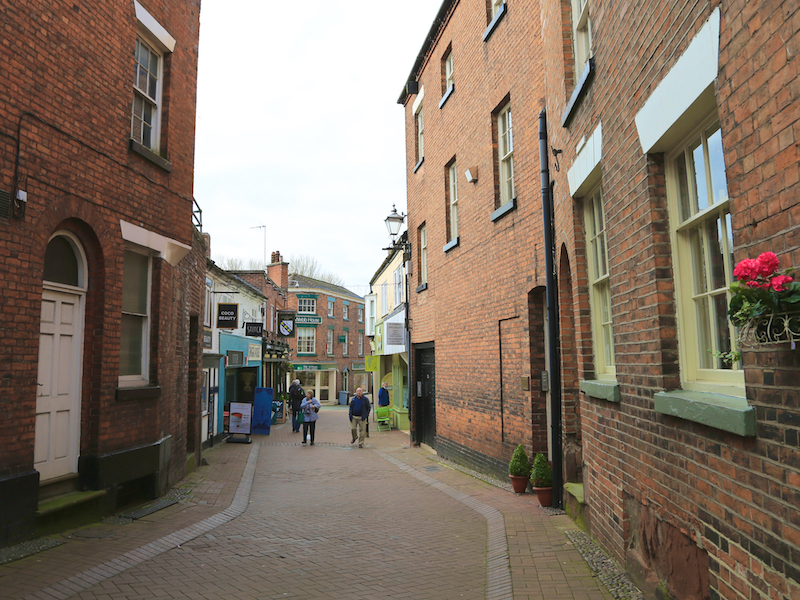
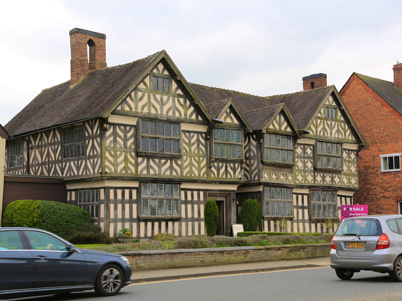
This circular walk starts at Nantwich Station and follows a route around the town centre and some nearby countryside. The route takes in a number of the key sites of interest in the town centre and incorporates the waymarked Nantwich Riverside Loop riverside and canalside walk.
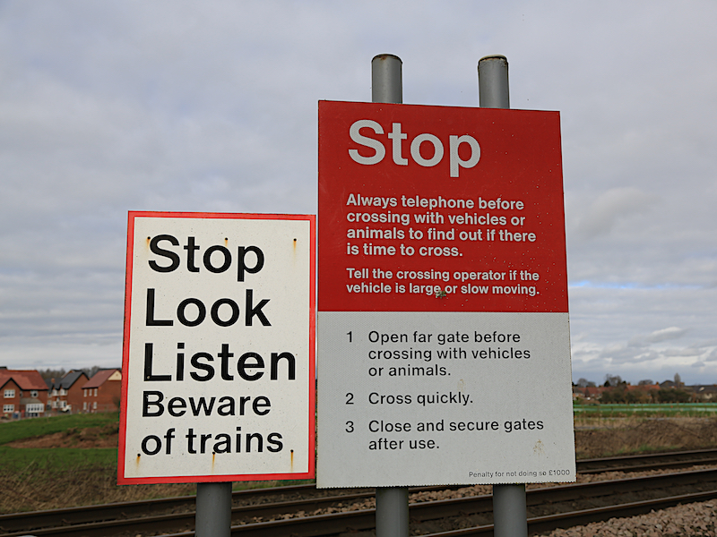
The route is relatively flat and mainly on well made paths and roads but with approximately 2.7 miles of parkland/field/canalside paths which may include some very muddy sections during wetter periods. The walk includes a number gates, crosses a railway line, and involves a descent of some quite steep steps down from a canal towpath. There are no stiles to be crossed.
Key Facts
Location: Nantwich, Nr. Crewe, Cheshire
Parking : Car park at station and others at nearby locations
Distance: 5.4 miles
Time : 2.5 hours (excluding stops)
Ascent/Descent: 135 feet
Map: OS Landranger 118
The Map
We have used the excellent Plotaroute to lay out and display our walks. With this map you can print, zoom and carry out other functions using the menu at the top right of the box. Alternatively you can click on the link below the map to visit the walk on the plotaroute site.
For your convenience we offer the directions in two different formats
CLICK TO SELECT YOUR PREFERRED OPTION
- Directions and added information with pictures of key sites. Best for browsing at home or on your mobile
- Directions and added information, no pictures. For printing to take on the walk.
We welcome comments on our walks.
Appreciation, constructive suggestions, variations or observations are all welcomed. We now have FACEBOOK PAGE . Please do visit us, like us and add comments.