Superlative Walks
Urban trails, each with something very special
Marple Bridge
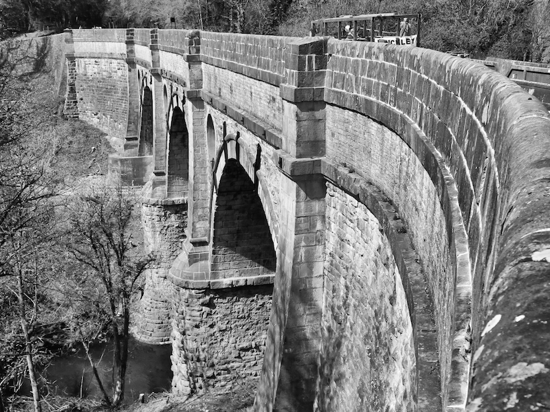
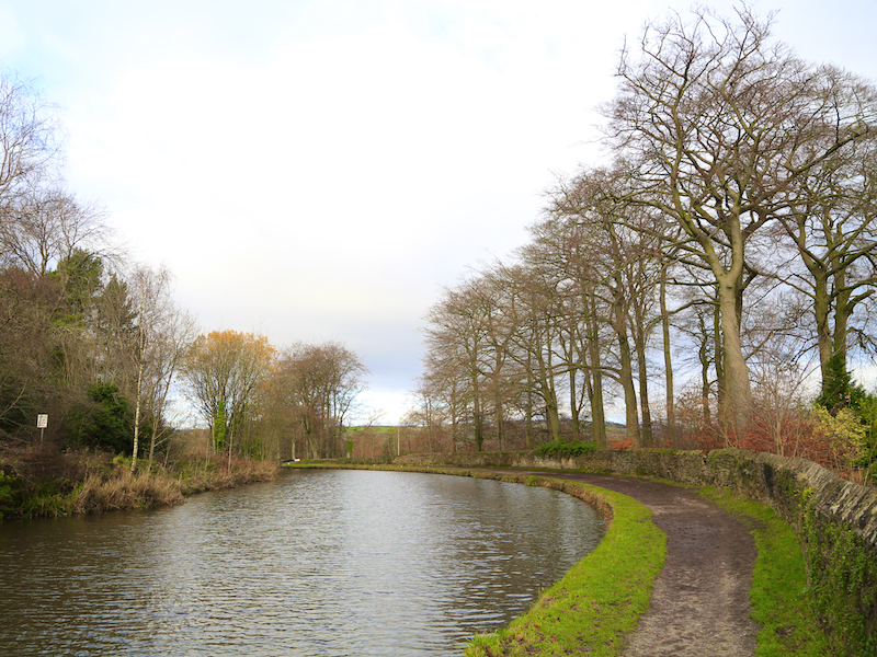
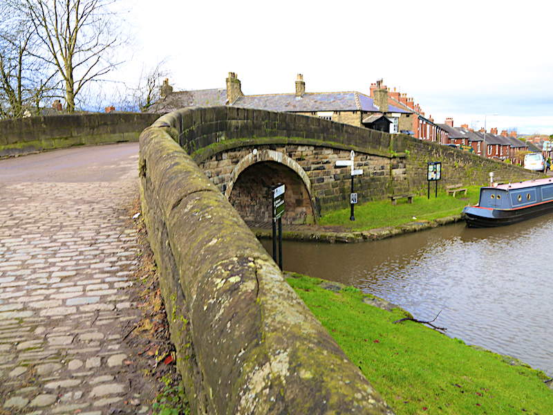
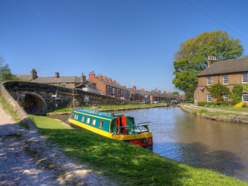
A five-mile walk from Marple Bridge featuring Britain’s highest stone aqueduct, a long flight of locks and a Roman Bridge that the romans did not build. Leaving the pretty village of Marple Bridge, the walk tracks the Rover Goyt, passes victorian leisure parks and the site of a mill that was once the largest cotton mill in the world. Ascending through woodland to the Peak Forest Canal, the walk then follows the Macclesfield Canal down a dramatic flight of locks to the impressive Marple Aqueduct. The route is largely rural, on paths and can be muddy after wet weather.
Key Facts
Location: Marple Bridge, Nr. Stockport, Greater Manchester
Parking : On Brabyns Brow
Distance: 4.8 miles
Time : 2.5 hours (excluding stops)
Ascent/Descent: 485 feet
Map: OS Explorer OL 1 Peak District
The Map
We have used the excellent Plotaroute to lay out and display our walks. With this map you can print, zoom and carry out other functions using the menu at the top right of the box. Alternatively you can click on the link below the map to visit the walk on the plotaroute site.
For your convenience we offer the directions in two different formats
CLICK TO SELECT YOUR PREFERRED OPTION
- Directions and added information with pictures of key sites. Best for browsing at home or on your mobile
- Directions and added information, no pictures. For printing to take on the walk.
We welcome comments on our walks.
Appreciation, constructive suggestions, variations or observations are all welcomed. We now have FACEBOOK PAGE . Please do visit us, like us and add comments.