Superlative Walks
Urban and rural trails, each with something very specialMarple Bridge
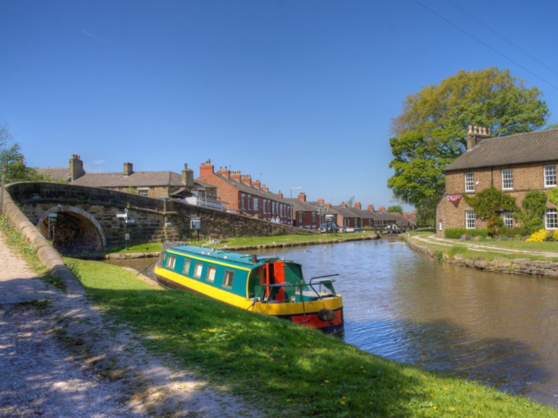
A five-mile walk from Marple Bridge featuring Britain’s highest stone aqueduct, a long flight of locks and a Roman Bridge that the romans did not build. Leaving the pretty village of Marple Bridge, the walk tracks the Rover Goyt, passes victorian leisure parks and the site of a mill that was once the largest cotton mill in the world. Ascending through woodland to the Peak Forest Canal, the walk then follows the Macclesfield Canal down a dramatic flight of locks to the impressive Marple Aqueduct. The route is largely rural, on paths and can be muddy after wet weather.
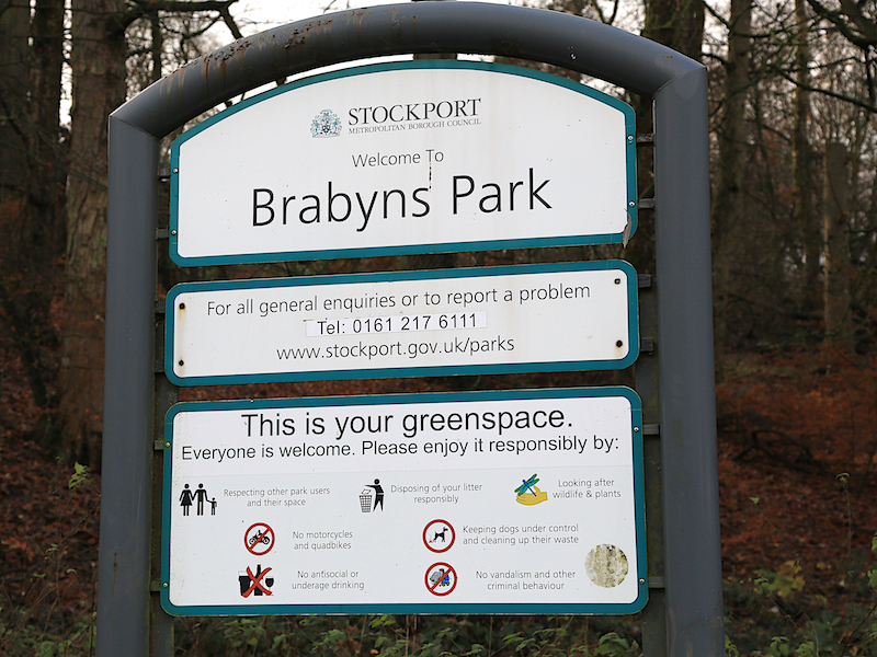
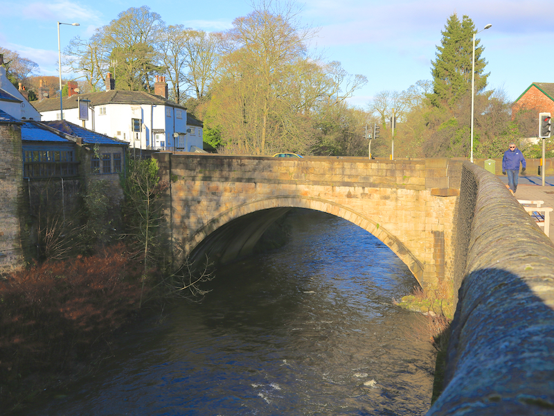
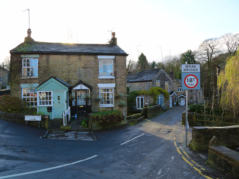
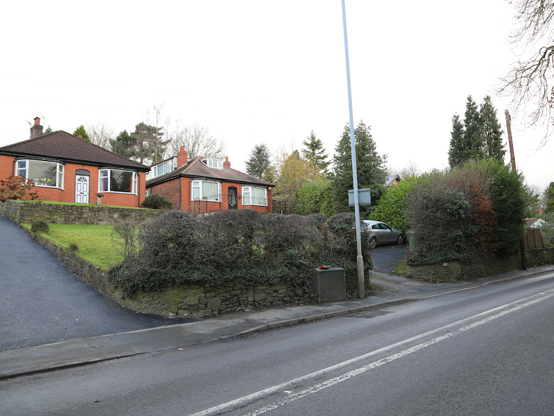
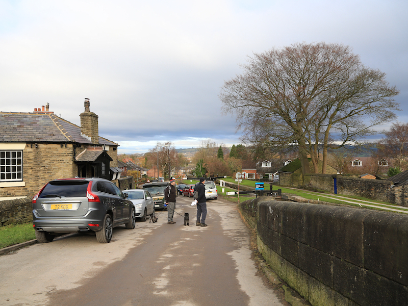
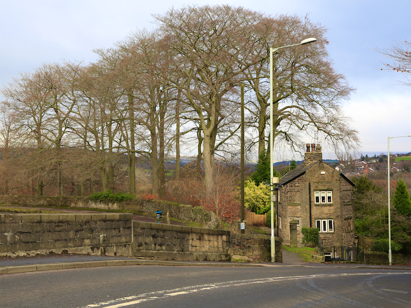
1. Start at the public car park on Brabyns Brow, the hill between Marple Bridge and Marple (free 4 hours parking at the time of writing). There are other free car parks available further up the hill to the left, or just inside Brabyns Park, the entrance of which is directly opposite the car park. Come out of the car park and turn right down the hill to the bridge itself, which was built in 1800 and widened in 1930.
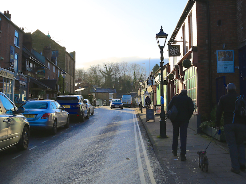
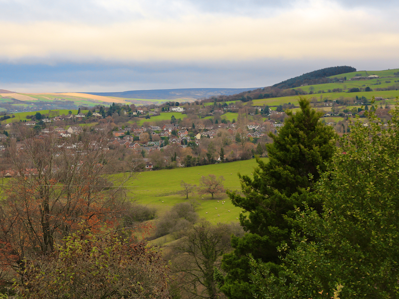
Marple Bridge has changed from being a centre for cotton mills in the 19th century, to a tourist destination in the early 20th century and is now a commuter town for Stockport and Manchester. Much of the infrastructure of canals, bridges and railways dates back to the time of the mills.
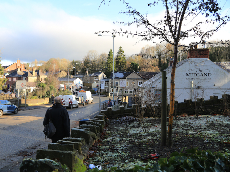
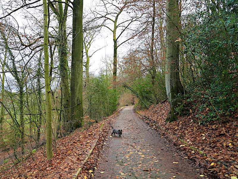
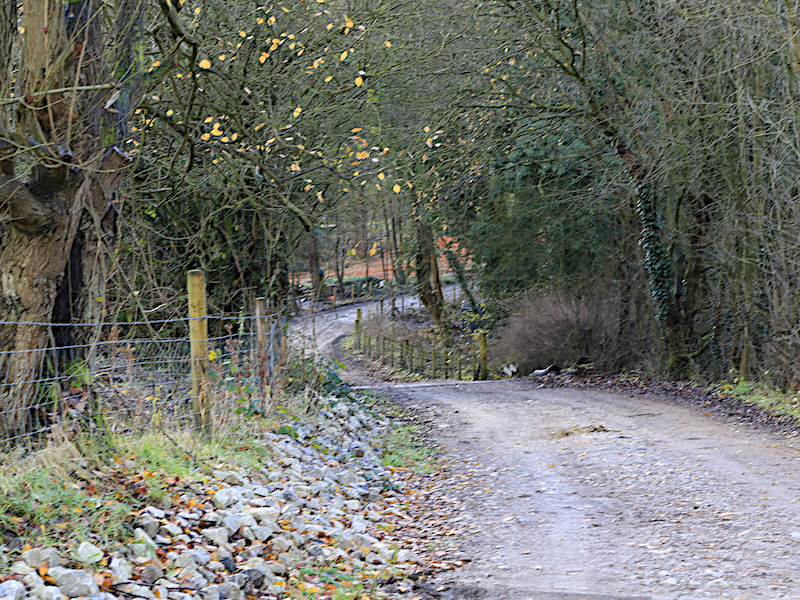
2. Turn right up Town Street, remaining on the right (river) side of the road) and perhaps enjoy a coffee at Libby’s, Marple Bridge’s famous tea shop. After Libby’s, turn right up Low Lea Rd and follow the rough track for about a mile towards the Roman Lakes. http://www.superlative-walks.com/marple-bridge-directions-added-information/
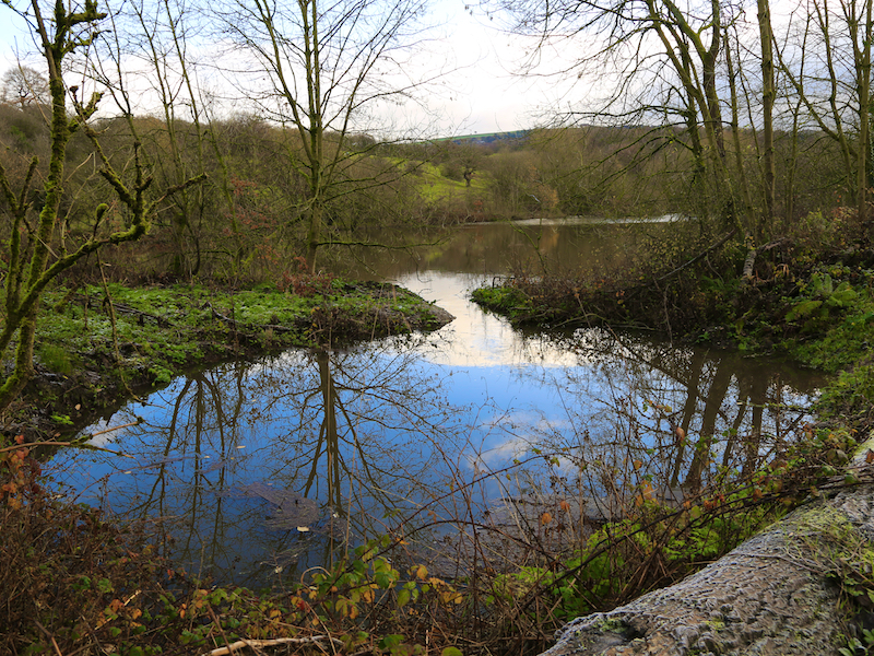
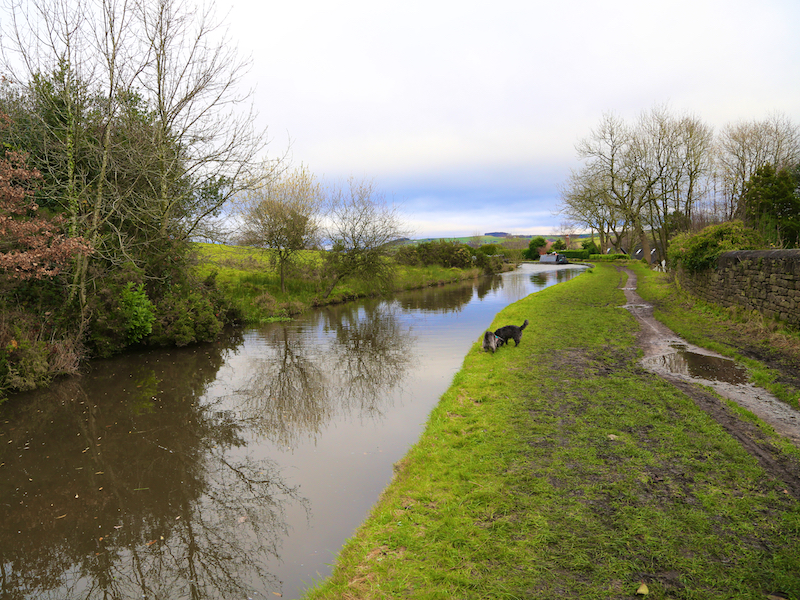
On the right is the gorge of the River Goyt, a key tributary of the Mersey, which it forms when it joins the River Tame at Stockport (see the Superlative Walk for Stockport).
3. The rough track joins Lakes Road just after it crosses the Goyt. To the left is the site of Bottom’s Mill, now an archeological dig site. Turn right and follow the road 100 yards back to the bridge for some fine views.
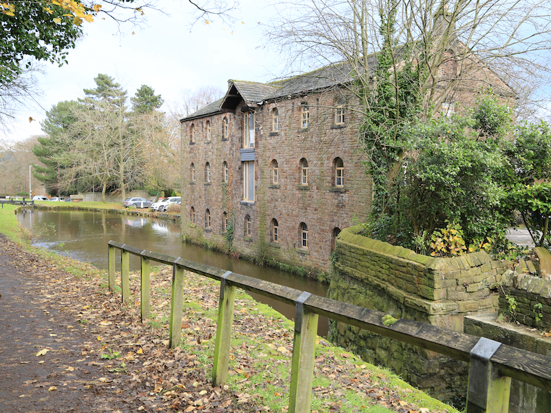
Bottom’s Mill, (also known as Mellor Mill) was built by Samuel Oldknow between 1790 and 1792 and was burnt out in 1892. It was the largest cotton mill of its time and the template for the architecturally impressive mills that spread through the region. After Oldknow’s diversion of the River Goyt, it was the final flowering of water power, with large stone-built tunnels for water and driveshafts. The lakes provided the head of water for the water power. Oldknow created several significant mills in and around Marple in addition to Mellor Mill. Bottoms Hall was his home for many years. Bottoms Hall is still standing, and an archeological dig has been undertaken on the site of the mill.

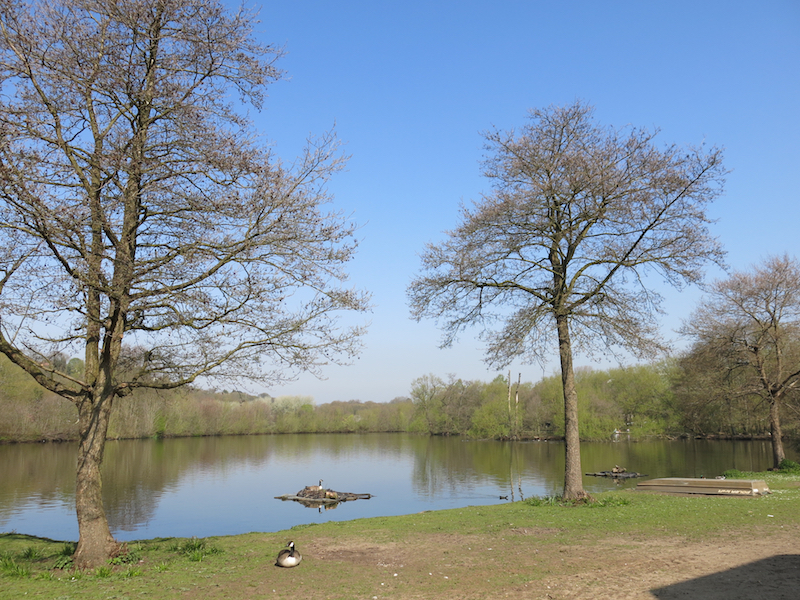
4. Retrace the route to the mill site and follow the road to the right which is now signed “Roman Lakes”. Passing North Lake on your left you then come to the larger Roman Lakes. Turn left into the car park at Roman Lakes, and visit the area by the lake itself. There is a tea shop, toilet and the possibility of boat trips on some days.
After the destruction of the mill in 1892, the Roman Lakes (neither roman nor lakes) became a major tourist attraction when thousands of visitors came to enjoy them and their surroundings. The Roman Lakes pleasure park included a dance hall, boating and amusements such as penny slot machines.
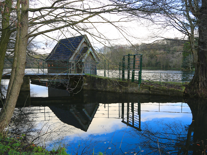

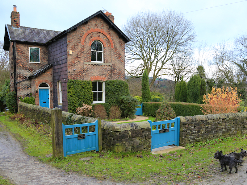
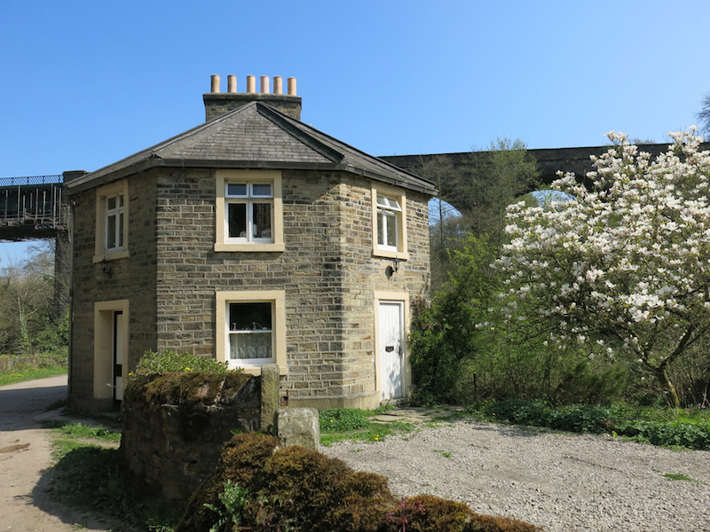
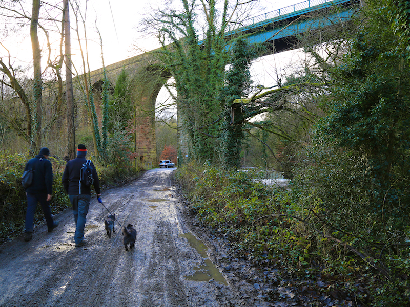
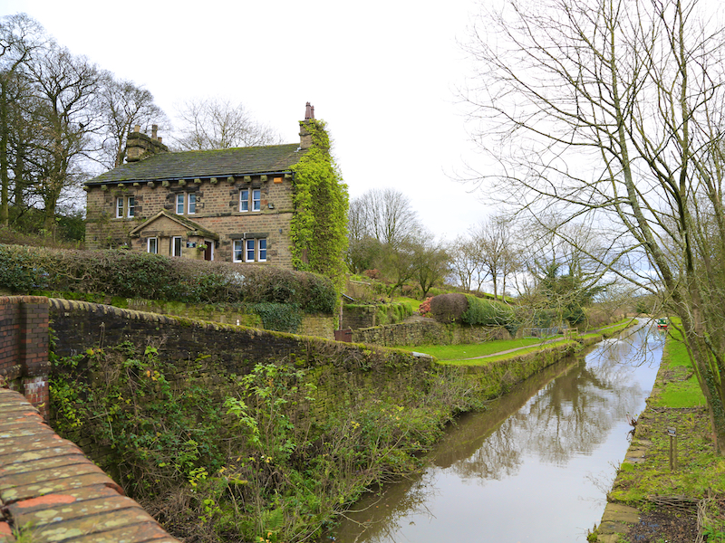
5. Return to the road and walk left towards the viaduct (built in 1865) with the river on the right. Walk on past the unusual octagonal Floodgates Cottage and on under the viaduct.
Floodgates Cottage was built by Oldknow in 1804 as a home for a Sluicekeeper and a Toll Collector.
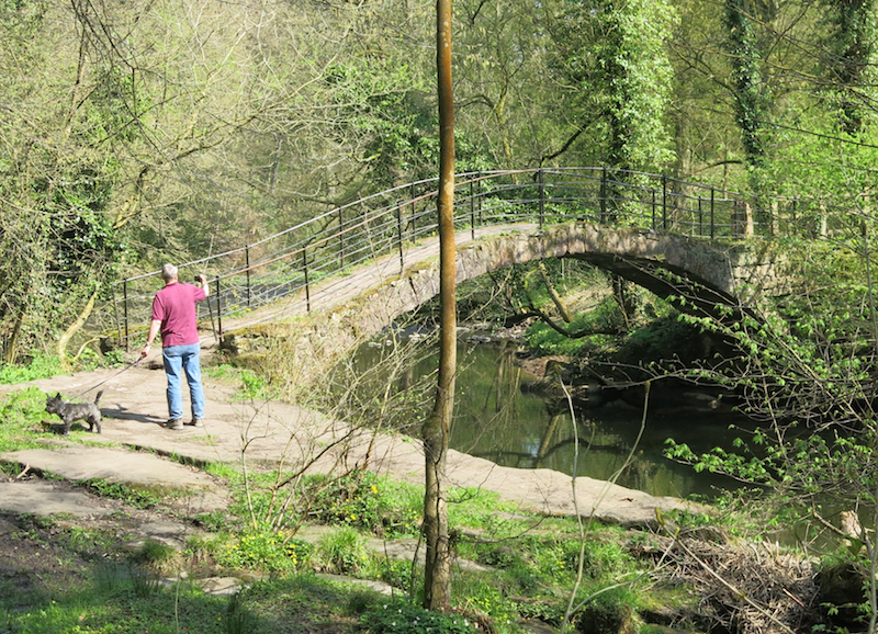
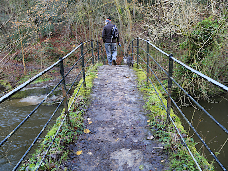
6. Opposite the gates to Strawberry Hill follows sign post on the right to Roman Bridge. Cross the bridge and follow the path left upstream.
Roman Bridge was named “Roman” by the romantic Victorians. This is in fact a packhorse bridge from the 1700s. The lakes are named after the bridge!
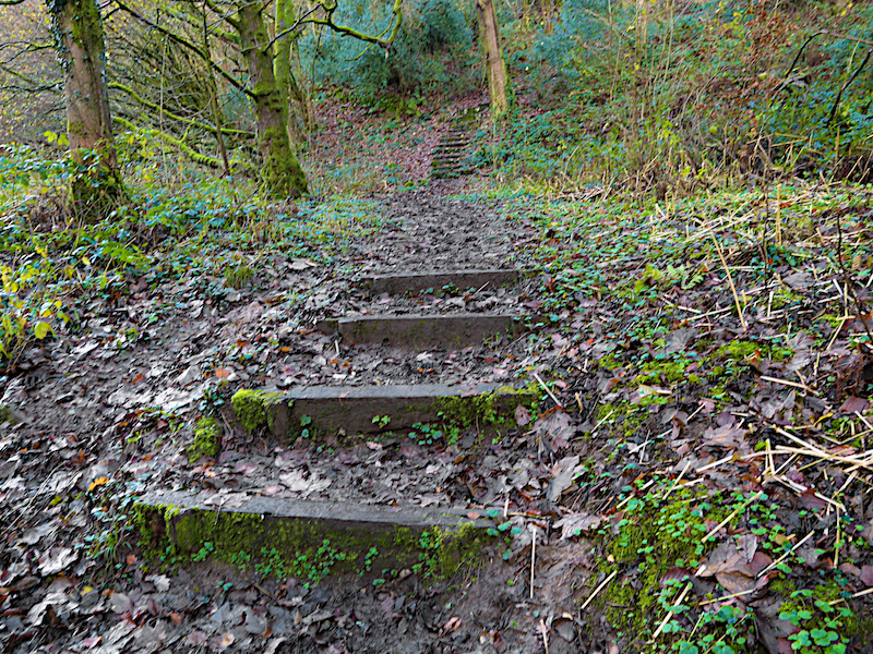
7. Just past a mounting block, at a T-junction of paths, turn right and follow the steep path uphill through the woods to the road.
8. Cross the road and head right for 150 yards to a ginnel between houses which leads up to the Peak Forest Canal.
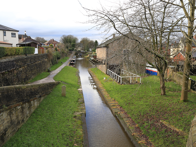
The Canal connects Bugsworth in Derbyshire with Dukinfield in Greater Manchester, a distance of 15 miles. From Bugsworth a tramway connected the canal to the vast reserves of lime quarried at Dove Holes. The construction of the canal and tramway was promoted by Samuel Oldknow (the largest shareholder) with much of the finance being provided by Richard Arkwright Junior of Cromford, Derbyshire.
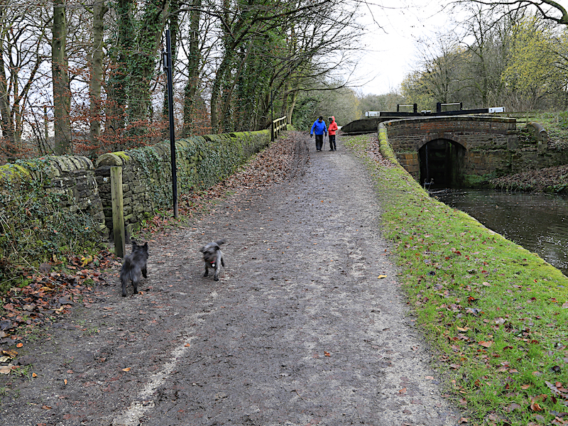
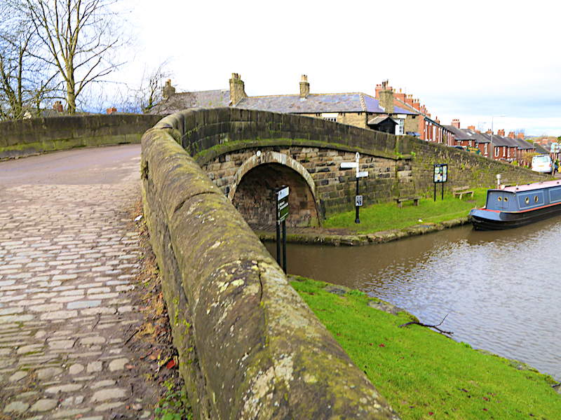
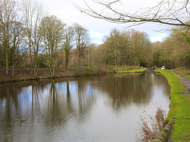
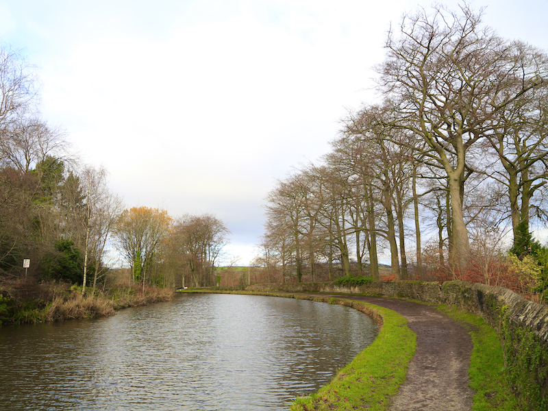
9. Turn right along the canal and cross to the other side at the ‘roving bridge’.
The bridge was built this way to enable towing horses to cross the canal without uncoupling.
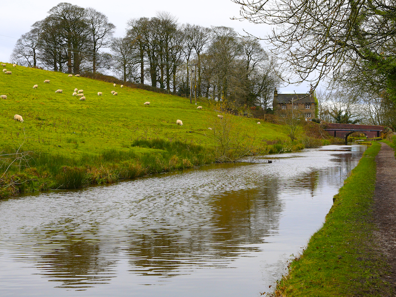
10. Continue with the canal on your right to the junction with the Macclesfield Canal, where there is also a marina. Go up the short cobbled stretch of path to the road and cross the Macclesfield Canal on the road bridge descend to the towpath again.
The Macclesfield Canal was one of the last narrow canals to be built. The route of the canal was surveyed by Thomas Telford and construction was engineered by William Crosley. The completed canal was opened on 9th November 1831 at a cost of £320,000. The route takes the canal from Marple Junction in the north – where it joins the Peak Forest Canal – 26¼ miles to the stop lock at Hall Green near Kidsgrove.

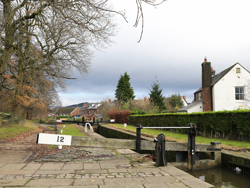
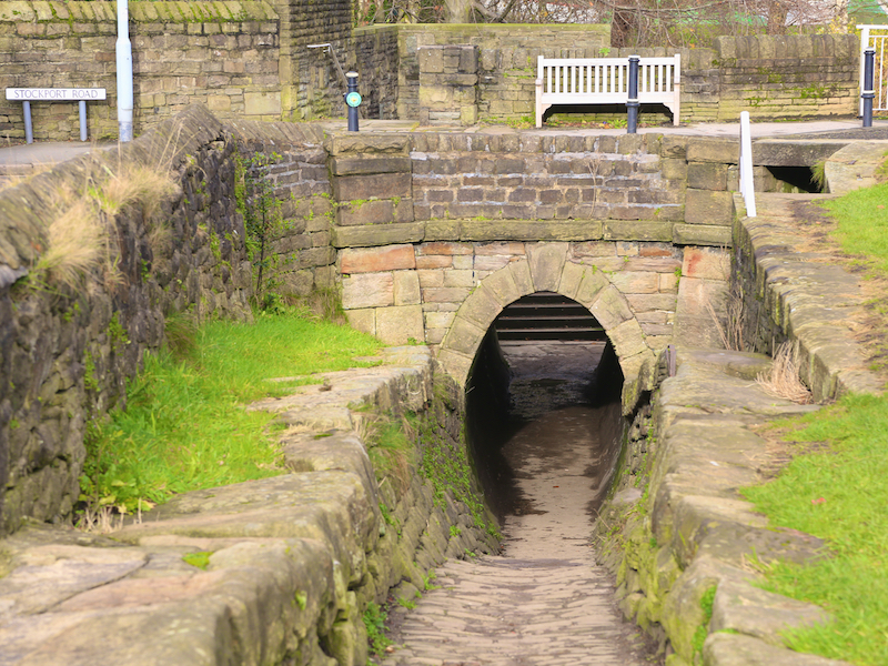
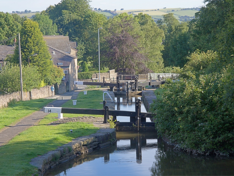
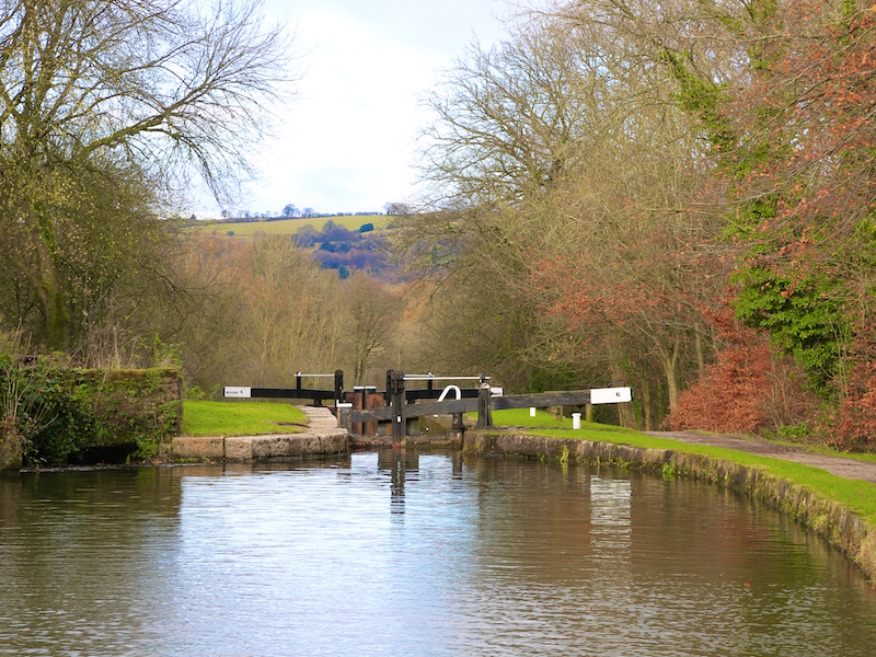
11. Follow the towpath, going under Stockport Road in a tunnel after the fourth lock, as the canal descends 16 locks and the canal drops down 209 feet through Marple.
This one of the steepest flights of locks in Great Britain. While the rest of the canal was opened to navigation by 1796, insufficient money was available to complete the necessary flight of locks to connect the two sections, and a temporary tramway was installed until such time as the locks could be completed, which finally happened in 1804. The canal passes a number of interesting features, including Tollgate Cottage, Oldknow’s Canal Warehouse and several wide pounds.
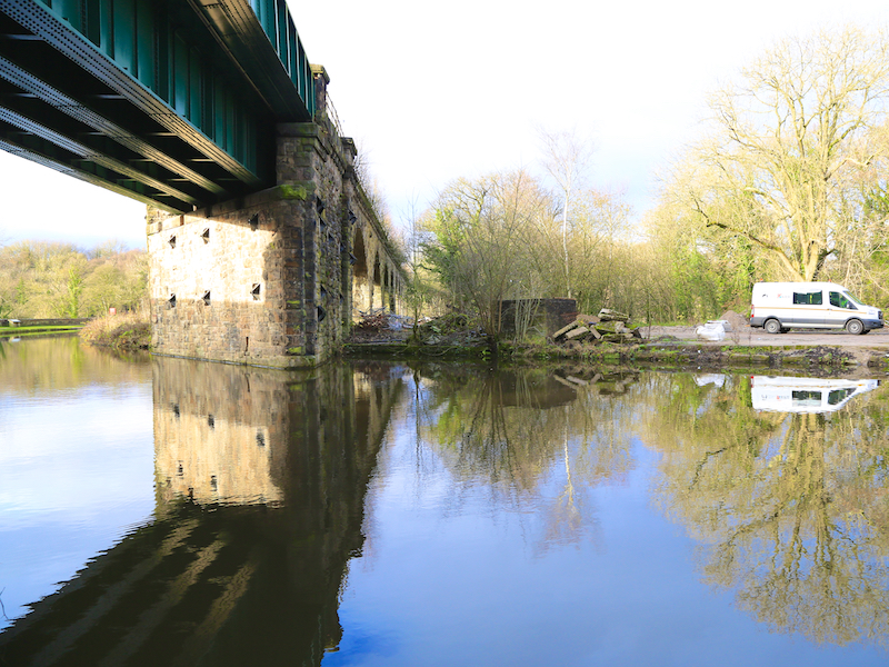
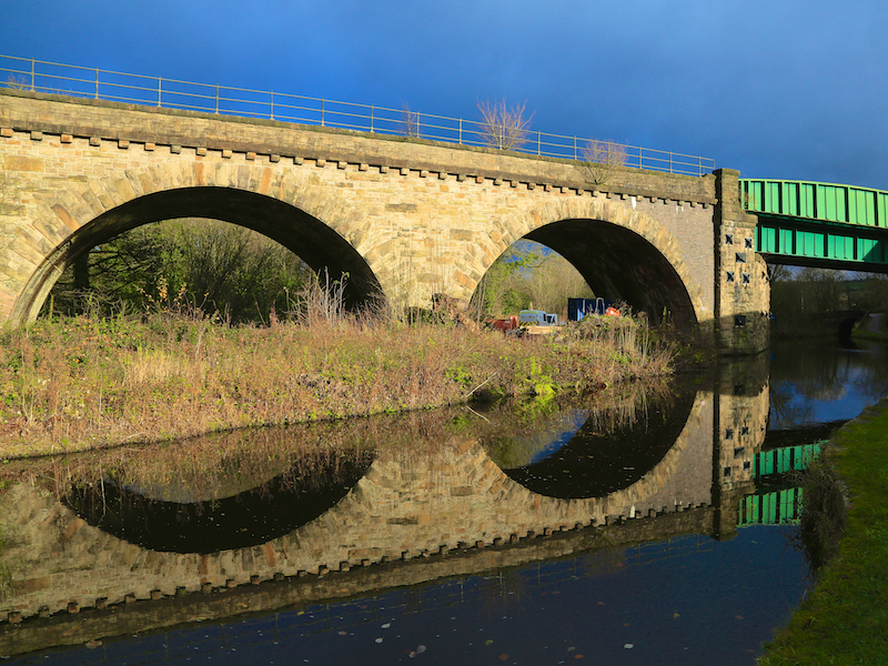
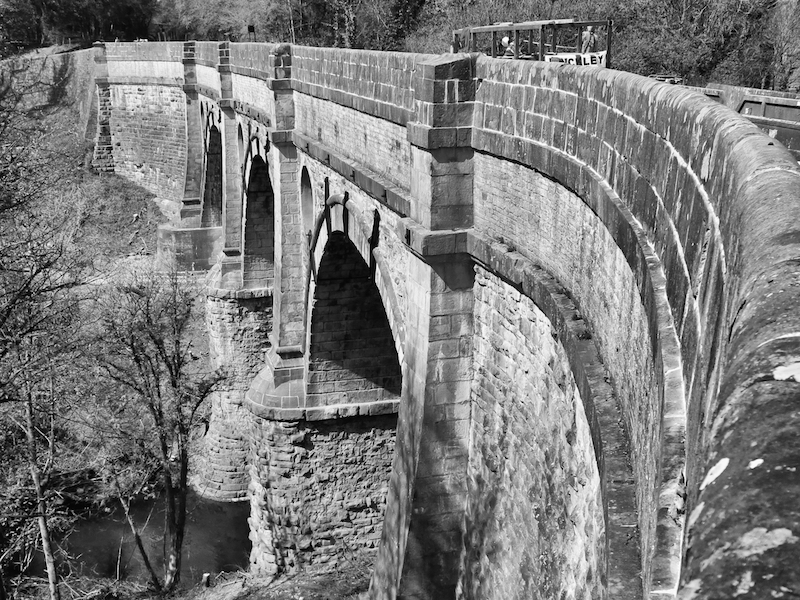
12. The towpath ends briefly where the canal passes under Station Rd. Cross the road and rejoin the towpath, now on the right of the canal on other side of the road. Continue along the towpath as the canal proceeds north, crossing the railway line and going under the Marple Viaduct.
The Marple Viaduct runs parallel to the aqueduct and carries the railway 124 feet above the River Goyt. The viaduct was constructed in 1865, 65 years after the aqueduct and only took a year to build. It comprises twelve stone arches and a steel girder bridge that turns to carry the line diagonally over the canal.
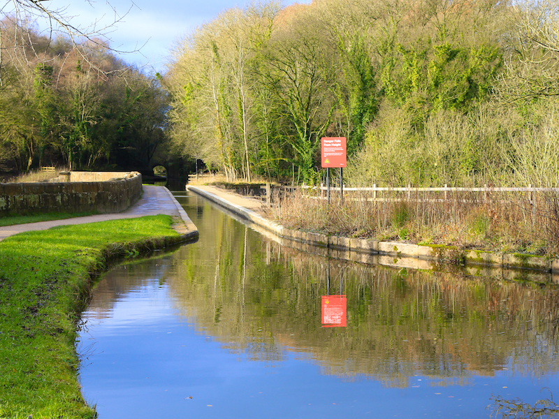
13. Passing through the “winding hole”, the route arrives at the Marple Aqueduct.
This is the highest canal aqueduct in England and the highest masonry-arch aqueduct in Britain. The difference in water levels in the river and canal is some 90 feet (27.4m) (exceeded only by the Pontcysyllte aqueduct in Wales (also on a Superlative Walk). The aqueduct is formed by an iron trough carried on stone columns, where the difference is 126 feet (38.4m)). It contains some 8,000 cubic yards (6,000 m³) of masonry. The three semi-circular arches are about 78 feet (23.8m) above water level, with spans of approximately 60 feet (18.3m) at 72 feet (22m) centres. The lower parts are of red sandstone from the nearby Hyde Bank quarry. The upper parts are of white stone from a quarry at Chapel Milton. The abutments widen in well-proportioned curves and batter, or diminish, upwards in the same manner. The skilful use of architectural features, such as the circular piercing of the spandrels, string courses, arch rings and pilasters of ashlar stone, oval piers and stone of different type and colour have created a graceful structure, which is superlative in its class.(Wikipedia)
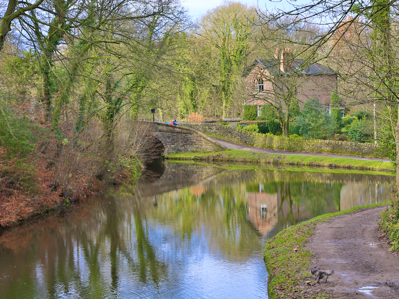
14. Retrace the route over the canal bridge and turn left through a stile into the woods bordering Brabyns Park. Follow the often muddy path rightwards behind a walled property on the left and descend to the main path back to the entrance to the park. The walk ends at the foot of Brabyns Brow, opposite the starting point.
Originally the estate of Brabyns Hall, the park was first opened to the public in 1947. There are many routes through Brabyns, and it is possible to detour to the River Goyt, following Rollins Lane left down to the Grade II listed Iron Bridge. The bridge was built in 1813 for the then owner of the Brabyns Estate, Nathaniel Wright. Its purpose was as a carriage bridge across the River Goyt, creating access to Wright’s estate from the village of Compstall. It was constructed of cast iron by the Salford Iron Works, an iron foundry owned by Messrs. Bateman and Sherratt that was established in the latter part of the 18th century.