Superlative Walks
Urban trails, each with something very specialManchester: Campus to Quays
Introduction
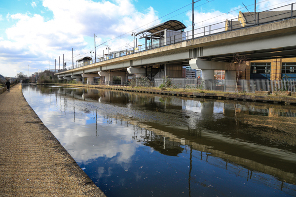
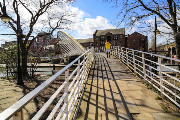
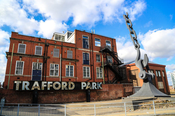
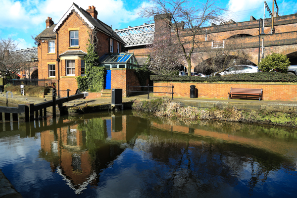
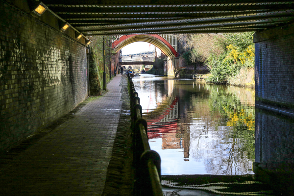
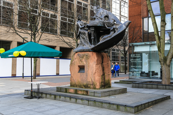
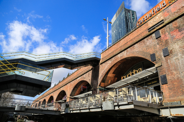
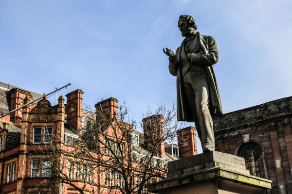
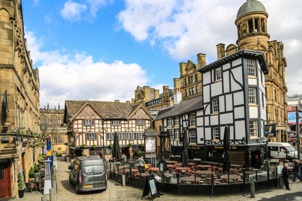
This walk crosses Manchester City Centre from East to West, using the Metrolink tram system to link start and finish points of a linear walk, that takes in old, new and “in progress” aspects of the City. The walk is about 7.5 miles long and should take about 3 hours, plus any time spent visiting the numerous locations of interest in the City Centre.
Key Facts
Location: Manchester
Parking : There are many city centre car parks. At Salford Quays Park at Car Park Post Code : M50 3AH
Distance: 7.5 miles
Time : 3 hours (excluding stops)
Ascent/Descent: 488 feet
Map: OS Landranger 109
The Map
We have used the excellent Plotaroute to lay out and display our walks. With this map you can print, zoom and carry out other functions using the menu at the top right of the box. Alternatively you can click on the link below the map to visit the walk on the plotaroute site.
For your convenience we offer the directions in two different formats
CLICK TO SELECT YOUR PREFERRED OPTION
- Directions and added information with pictures of key sites. Best for browsing at home.
- Directions only. Best for printing out to take on the walk.
- Directions and added information, no pictures. For printing to take out on walk
- Directions and added information in toggle boxes. Best if you are using your mobile device on the walk.
We welcome comments on our walks.
Appreciation, constructive suggestions, variations or observations are all welcomed. We now have FACEBOOK PAGE . Please do visit us, like us and add comments.