Superlative Walks
Urban trails, each with something very specialStalybridge
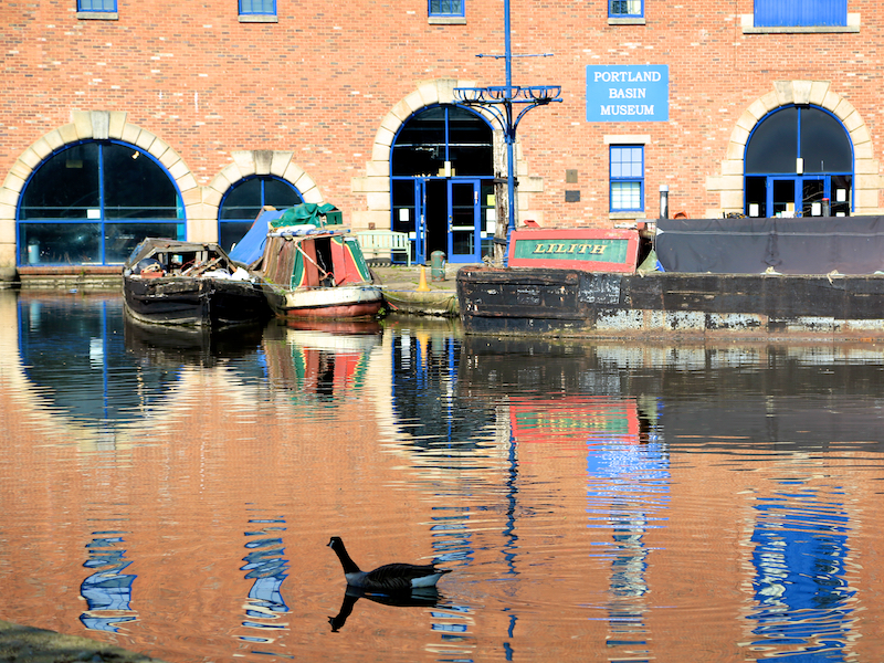
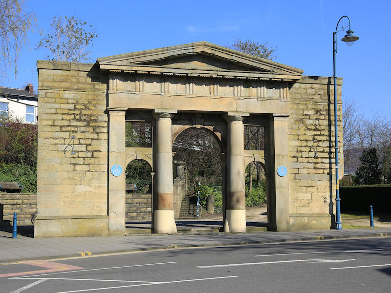
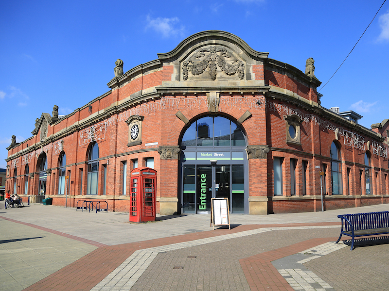
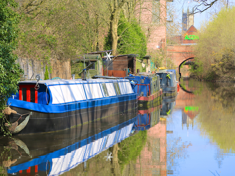
The Stalybridge walk starts and finishes at the Railway Station, which adjoins the Town Centre. The walk goes out of the Town, through Stamford Park and then on roads into the Centre of Ashton-Under-Lyne. The route then follows streets though and out of the centre of Ashton, down to the Huddersfield Narrows Canal, returning to Stalybridge along the canal towpath. The walk then explores the centre of Stalybridge and returns to the Railway Station.
Key Facts
Location: Stalybridge
Parking :In Town Centre, near to the Railway Station
Distance: 5.7 miles
Time : 3 hours (excluding stops)
Ascent/Descent: 285 feet
Map: OS Landranger 103
The Map
We have used the excellent Plotaroute to lay out and display our walks. With this map you can print, zoom and carry out other functions using the menu at the top right of the box. Alternatively you can click on the link below the map to visit the walk on the plotaroute site.
For your convenience we offer the directions in two different formats
CLICK TO SELECT YOUR PREFERRED OPTION
- Directions and added information with pictures of key sites. Best for browsing at home or on your mobile
- Directions and added information, no pictures. For printing to take on the walk.
We welcome comments on our walks.
Appreciation, constructive suggestions, variations or observations are all welcomed. We now have FACEBOOK PAGE . Please do visit us, like us and add comments.