Superlative Walks
Urban and rural trails, each with something very specialChester – Directions
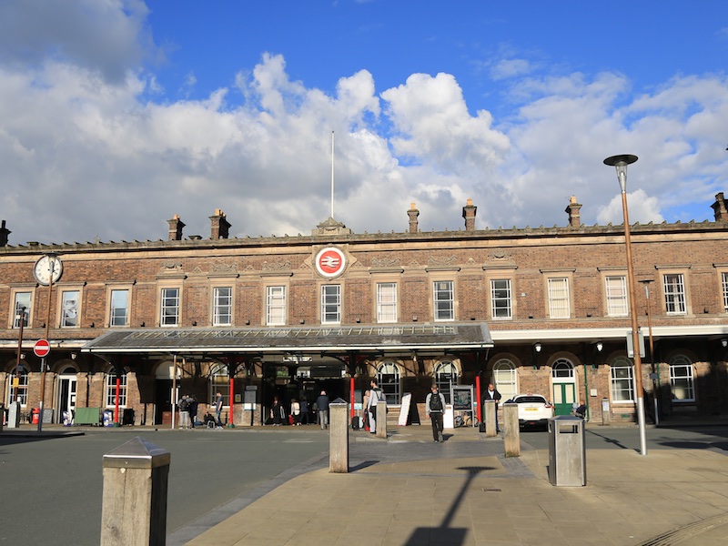
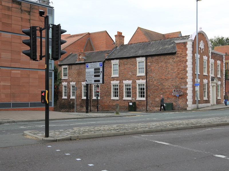
Deva Victrix, or simply Deva, was a legionary fortress and town in the Roman province of Britannia. The settlement evolved into Chester. This walks starts and finished at Chester Railway Station. There is an NCP car park at the station and numerous others within the City Centre. The walk visits many historic buildings, several parks, the picturesque riverside and most of the intact City Walls. The walk is mostly flat, with a few gentle gradients and steps up to and down from the City Walls and various bridges. The walk is almost entirely on well made paths and roads.
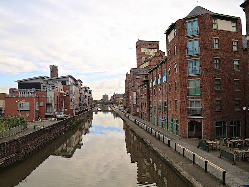
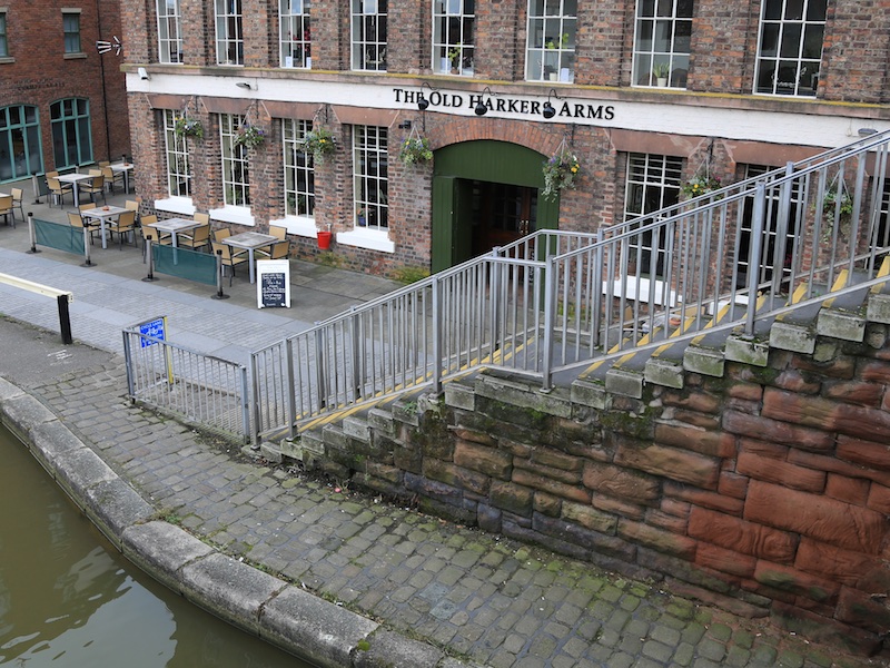
1. Starting at the railway station, walk along City Road. Cross the canal bridge then turn left down to the tow path, go past The Old Harkers Arms and then take the first right into Russell St.
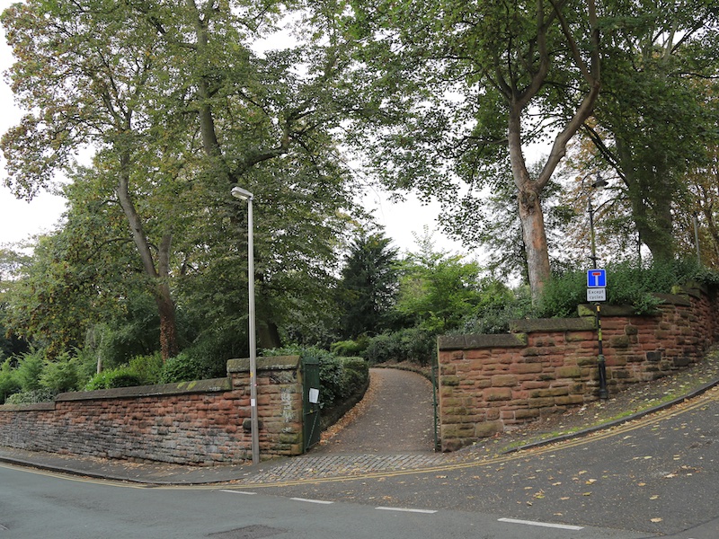
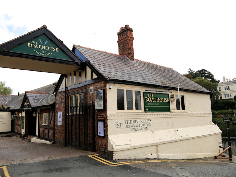
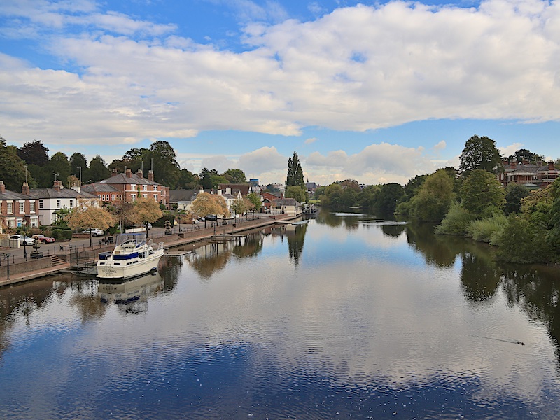
2. Cross A51 using the pedestrian crossing and, slightly to the right, head down Dee Lane. Enter Grosvenor Park on the right after c150m, turn right at the sign towards Lodge Cafe then, in front of the cafe, head across the Park diagonally to exit at The Groves, by The Boathouse with its “original floating beer garden.”
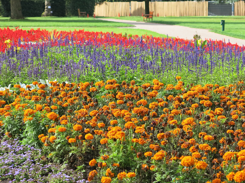
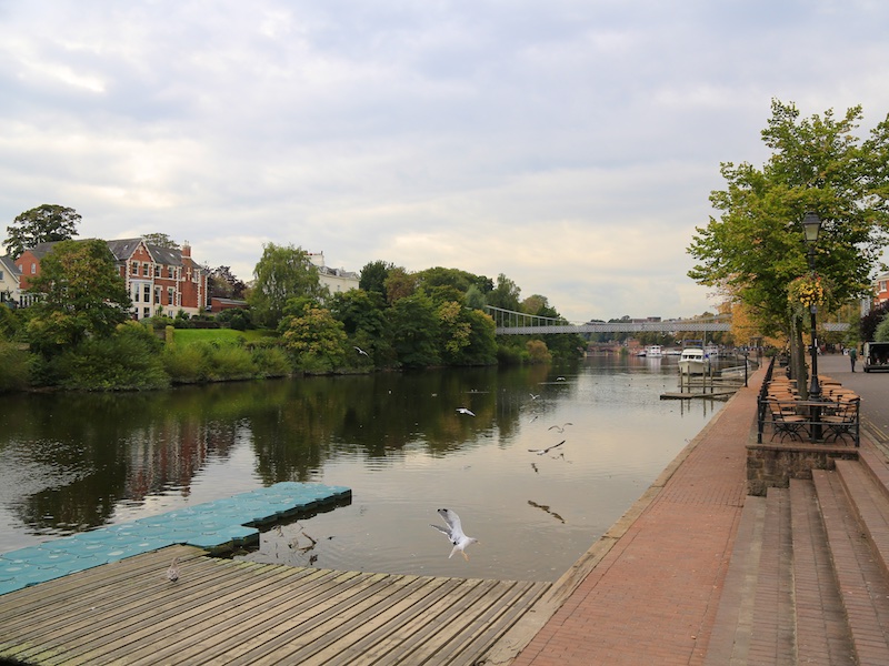
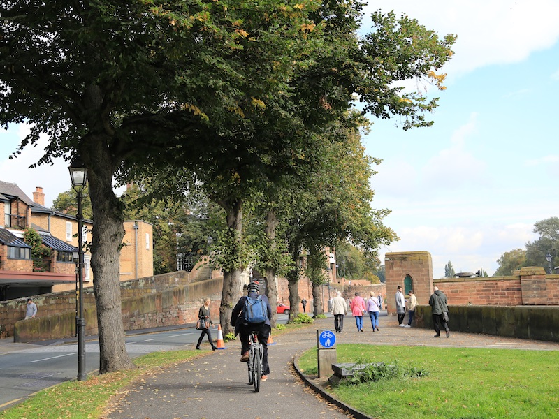
Grosvenor Park consists of 20 acres of land overlooking the River Dee. It is regarded as one of the finest and most complete examples of Victorian parks in the North West. Possible coffee stop at the Blue Moon Cafe overlooking the river.
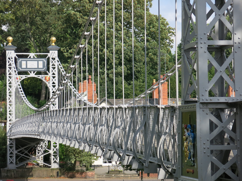
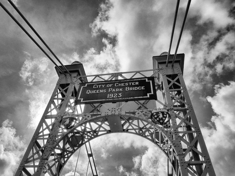
3. Follow the riverside right and then cross the suspension bridge.
Queen’s Park Suspension Bridge was opened on 18 April 1923, replacing an earlier Victorian bridge built in 1852.
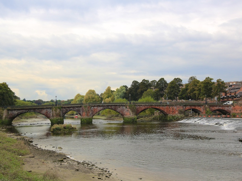
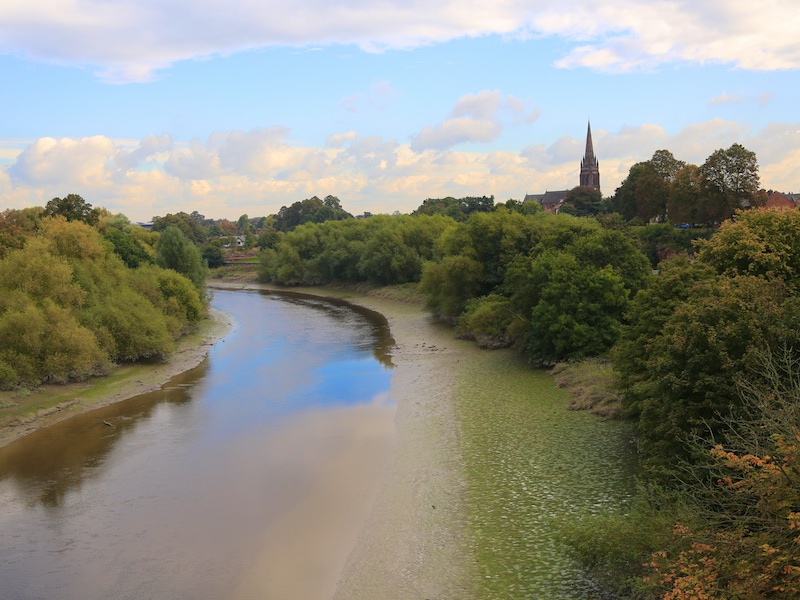
4. At the far side of the bridge, turn right and follow the lower of the two riverside paths until reaching the Old Dee Bridge.
Old Dee Bridge comprises seven unequal arches and was built, much as it is today, around 1387 on the site of a succession of earlier wooden bridges and a pre-Roman fording place.

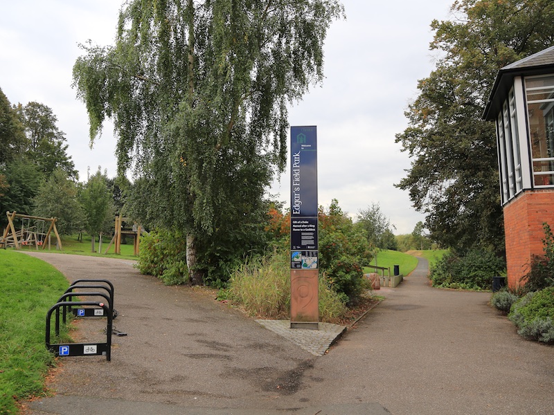
5. Cross Handbridge and then alongside the Ship Inn, turn right into Edgar’s Field Park.
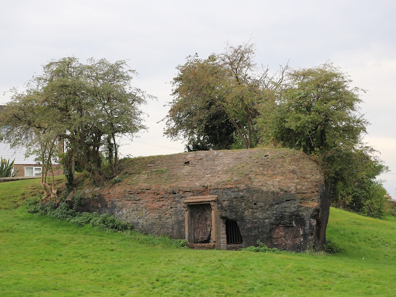
Edgar’s Field is a public park in Chester’s southern suburb of Handbridge, immediately south of the River Dee near the Old Dee Bridge. On the sandstone outcrop towards the centre of the park is the Roman shrine to the goddess Minerva. It is now the only monument of its kind in Western Europe that remains in its original location. The field takes its name from King Edgar, the great-grandson of Alfred the Great. After his coronation he brought his fleet to Chester. It is thought that he was rowed up the River Dee from the field to attend a service in St John’s Church.

6. Taking the path closest to the river, then leave the park to join River Lane, turning right and immediately left towards Hough Green. After passing under Grosvenor Bridge, turn left into the woodland.
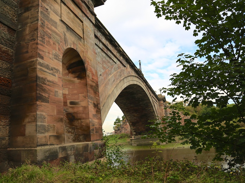
Grosvenor Bridge is a single-span stone arch road was designed by Thomas Harrison and opened on 17 October 1832. The first traffic passed over it in November 1833. At the time of its construction, the bridge was the longest single-span arch bridge in the world, a title that it retained for 30 years. It is designated by English Heritage as a Grade I listed building.
7. Take the steps on the right to join and then cross the footbridge. Cross the road and turn left towards the City Centre.
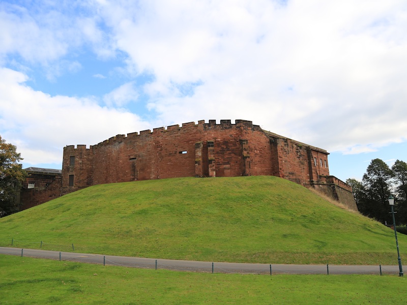
8. Cross Grosvenor Bridge and continue until Castle Drive. Cross, turn right and take the footpath alongside the castle along part of the old City wall.
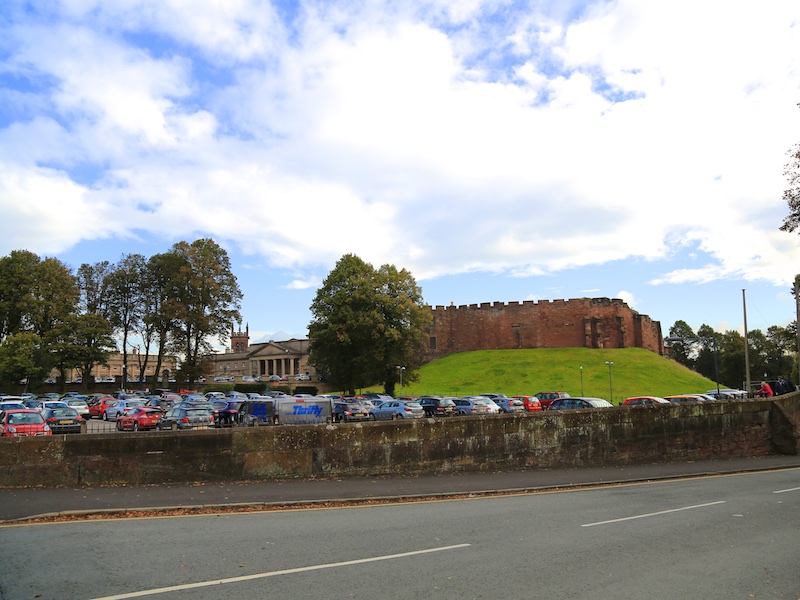
The castle was built in 1070 by Hugh Lupus, the first Earl of Chester. It is possible that it was built on the site of an earlier Saxon fortification but this has not been confirmed. The original structure would have been a motte-and-bailey castle with a wooden tower. In the 12th century the wooden tower was replaced by a square stone tower, the Flag Tower. During the same century the stone gateway to the inner bailey was built. This is now known as the Agricola Tower and on its first floor is the chapel of St Mary de Castro. The chapel contains items of Norman architecture. In the 13th century, during the reign of Henry III, the walls of an outer bailey were built, the gateway in the Agricola Tower was blocked up and residential accommodation, including a Great Hall, was built along the south wall of the inner bailey. Later in the century, during the reign of Edward I, a new gateway to the outer bailey was built. This was flanked by two half-drum towers and had a drawbridge over a moat 8 metres (26 ft) deep. Further additions to the castle at this time included individual chambers for the King and Queen, a new chapel and stables. The Great Hall was rebuilt in the late 1570s.

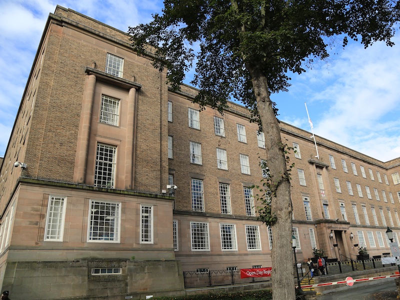
9. Follow the footpath passing University buildings to join the path alongside Castle Drive and the river.
The University of Chester was originally founded as Chester Diocesan Training College in 1839. It was the UK’s first purpose-built teacher training college. It became an affiliated college of Liverpool University in 1921 and achieved full University status in 2005. It has three campuses in Chester and one in Warrington.
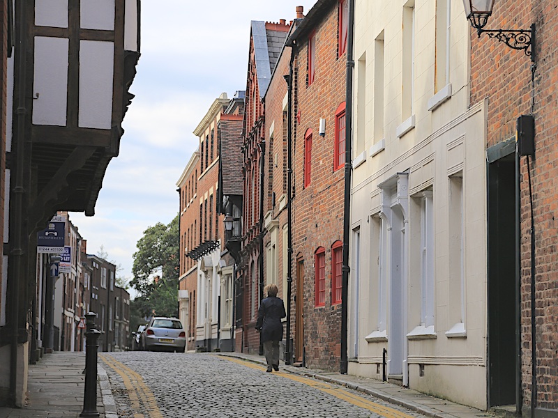
10. On reaching the Old Dee Bridge, turn left under the City Wall and walk up Lower Bridge Street for about 400m. Cross the A5268 – Grosvenor Street – to join Bridge Street. Almost immediately, turn left along White Friars.
White Friars is named after a Friary that once stood on the site, established in 1277. Note the fine 17th century house half way along the street on the left.

11. At the end of White Friars, cross Weaver Street and then cross Nicholas Street (A5268). Turn left and take the next road on the right, Black Friars.
The Black Friars were established in Chester by 1238 when the appearance of the Grey Friars alarmed their patron, Alexander Stavensby, bishop of Coventry and Lichfield.
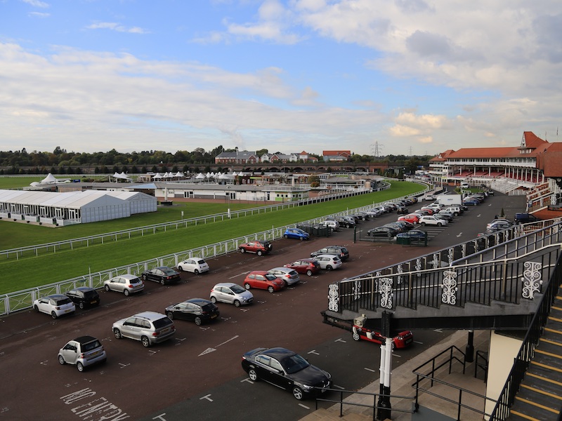
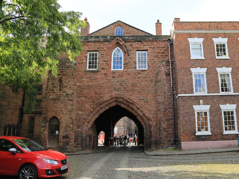
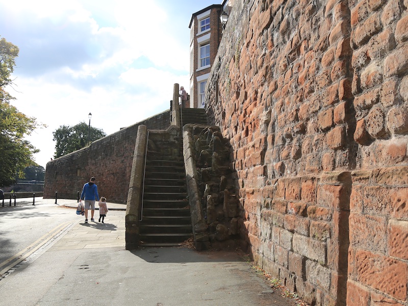
12. At the end of Black Friars, turn right along Nuns Road and cross it to follow the City West Wall, taking in the views across the Racecourse. Follow the North Wall, over Water Gate and then over the railway, passing the Water Tower, Pemberton’s Parlour and across North Gate.
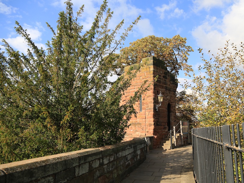
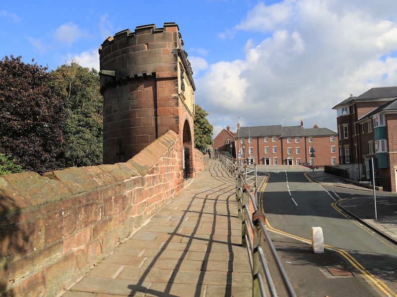
The City Walls encircle the bounds of the medieval city and constitute the most complete city walls in Britain, the full circuit measuring nearly 2 miles (3 km). The only break in the circuit is in the southwest section in front of County Hall. A footpath runs along the top of the walls, crossing roads by bridges over Eastgate, Northgate, St Martin’s Gate, Watergate, Bridgegate, Newgate, and the Wolf Gate, and passing a series of structures, namely Phoenix Tower (or King Charles’ Tower), Morgan’s Mount, the Goblin Tower (or Pemberton’s Parlour), and Bonewaldesthorne’s Tower with a spur leading to the Water Tower, and Thimbleby’s Tower.
The canal, marina and Telford’s Warehouse (a fine bar and entertainment venue) are located near the West/North corner of the City Walls.

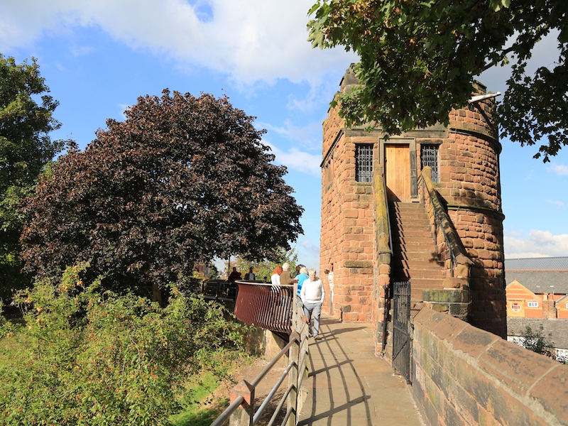
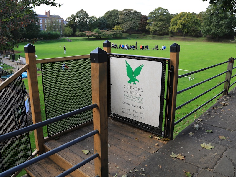
13. Pass the Phoenix Tower, also known as King Charles’ Tower and walk along the East Wall, passing the Chester Cathedral Falconry until the steps on the right for Abbey Street, which is just before the Cathedral.
Phoenix Tower is a much-restored medieval structure standing on, or close to, the site of the original Roman North East Tower. Between here and the Northgate formerly stood two further interval towers, projecting inward from the wall. They were constructed and placed according to the specifications of Roman military architects such as Marcus Vitruvius Pollio who directed that towers should be round, to deflect missiles and the force of battering rams, and placed so as to be within bow-shot of each other. He also directed that a wall should be of such a thickness that two armed men could pass on top of it without impediment.
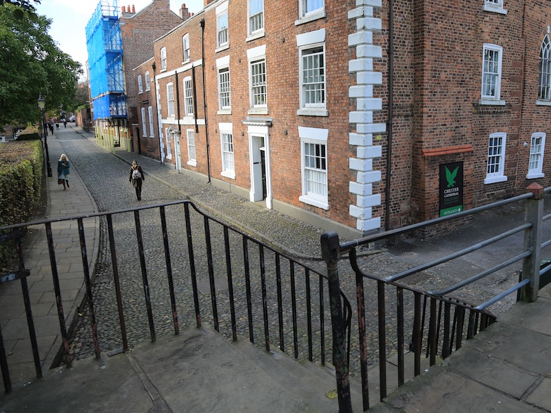
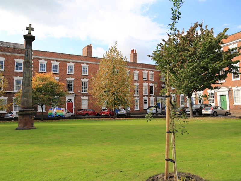
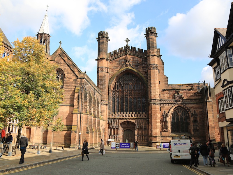
14. Along Abbey Street and at the end turn left on Abbey Square, leaving the square in the far corner through an arch, turn left onto Northgate Street and pass the Town Hall on your right and the Cathedral on your left.
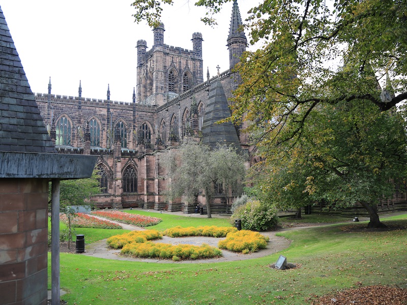
The most prominent buildings in the city centre are the Town Hall and the Cathedral. The Town Hall was opened in 1869. It is in Gothic Revival style and has a tower and a short spire. The Cathedral was formerly the church of St Werburgh’s Abbey. Its architecture dates back to the Norman era, with additions made in most centuries since. A series of major restorations took place in the 19th century and in 1975 a separate bell tower was opened. The elaborately carved canopies of the choir stalls are considered to be one of the finest in the country. Also in the cathedral is the shrine of St Werburgh

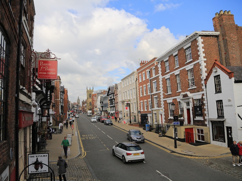
15. At the bottom of Northgate Street, turn right at Eastgate Street and by Chester Cross, turn left into Bridge Street.
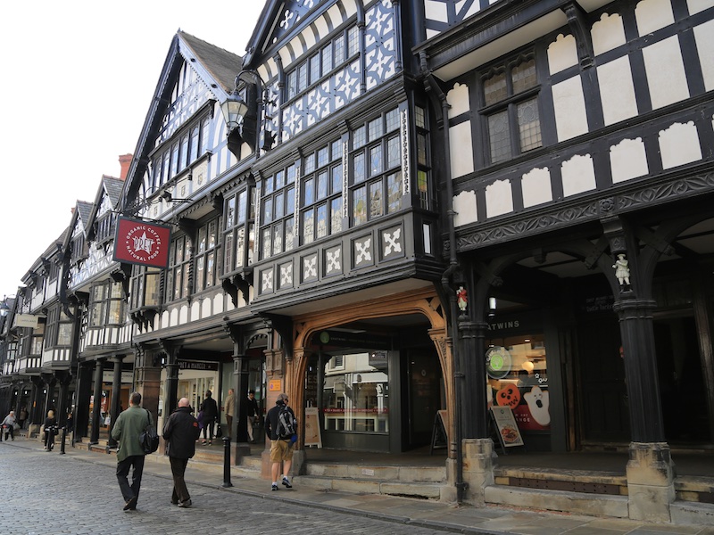
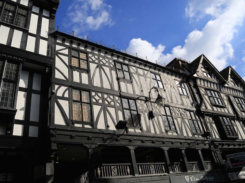
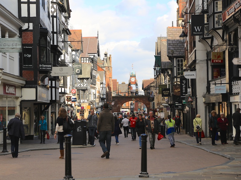
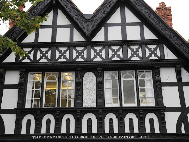
The Rows are unique in Britain. They consist of buildings with shops or dwellings on the lowest two storeys. The shops or dwellings on the ground floor are often lower than the street and are entered by steps, which sometimes lead to a crypt-like vault. Those on the first floor are entered behind a continuous walkway, often with a sloping shelf between the walkway and the railings overlooking the street. Much of the architecture of central Chester looks medieval, and some of it is, but by far the greatest part of it, including most of the black-and-white buildings, is Victorian.

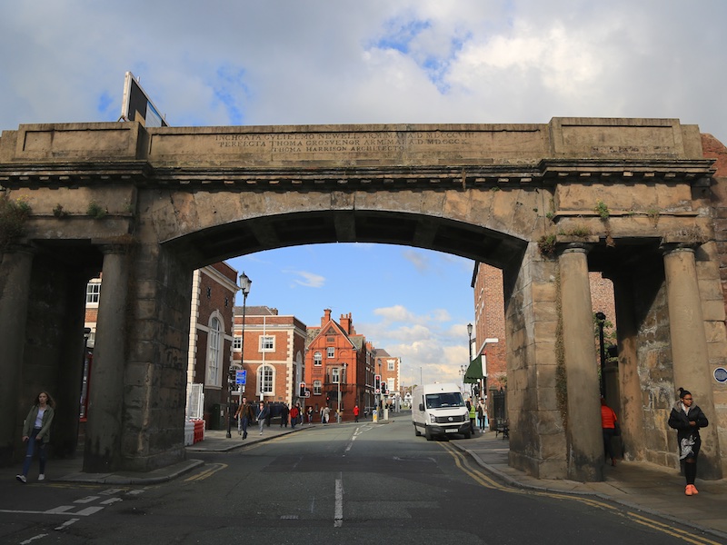
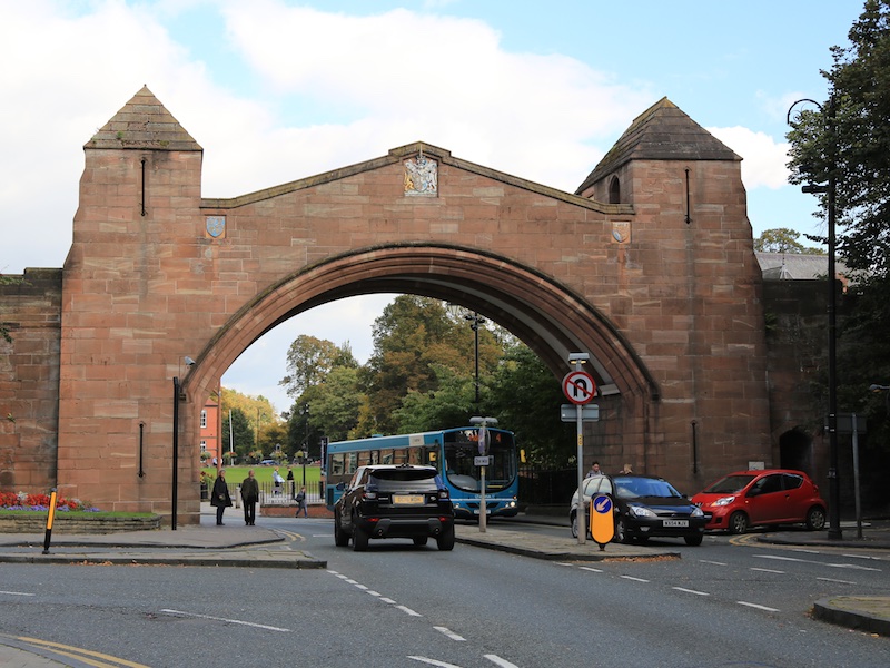
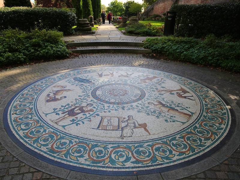
16. At traffic lights at the bottom of Bridge Street, turn left onto to Pepper Street. Go through Newgate for the Roman Amphitheatre and then walk back towards Newgate and turn left into the Roman Gardens. Walk through the Gardens down to The Groves and the riverside.
Newgate was built in 1938 to relieve traffic congestion in the city, especially at Chester Cross. This involved making a new breach in the city walls.
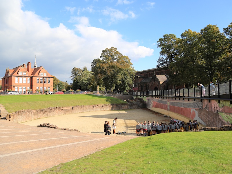
The Amphitheatre is the largest so far uncovered in Britain, and dates from the 1st century, when the Roman fort of Deva Victrix was founded. In use through much of the Roman occupation of Britain, the amphitheatre fell into disuse around the year 350AD. The amphitheatre was only rediscovered in 1929, when one of the pit walls was discovered during construction work. Between 2000 and 2006, excavation of the amphitheatre took place for Chester City Council and, after 2004, English Heritage.
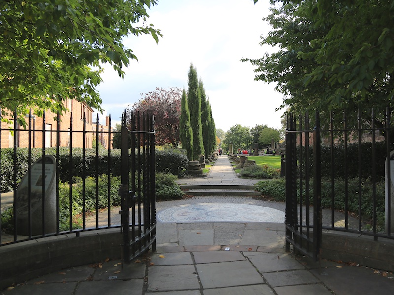
The Roman Gardens date from the 1950s, when a public park was created to display a collection of finely carved building fragments from the Roman legionary fortress of Deva. They include pieces from some of the most important military buildings, including the main baths and the legionary headquarters. None of the building fragments originally came from the site, since the Gardens lie just outside the Roman fortress.

17. Turn right, heading towards the bridge and after about 40m go up steps on the right then sharp right by the Recorder House to rejoin and double back eastward along the City South Wall. Just after starting to head North across New Gate along the East Wall, exit to Park Street.
Suggested venue for lunch, or just refreshments, is The Albion Inn on the corner of Albion Street.

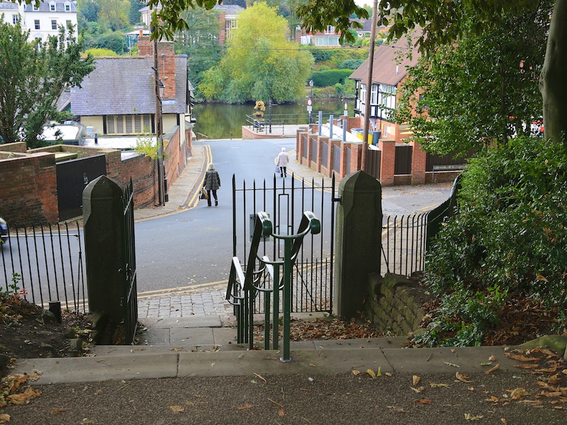
18. Rejoin the East Wall and head North over the Eastgate and past the Cathedral and beyond the Abbey Street steps used earlier down steps on the right towards the canal towpath.
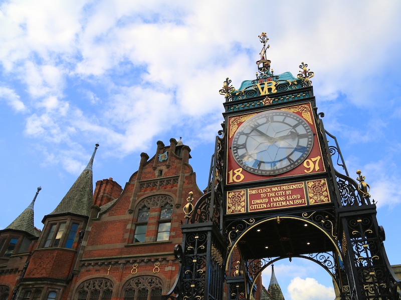
Eastgate and Eastgate Clock stand on the site of the original entrance to the Roman fortress of Deva Victrix. It is a prominent landmark and is said to be the most photographed clock in England after Big Ben.


19. Turn right at the towpath and continue back to The Old Harker’s Arms and then retrace the route back to the railway station.