Superlative Walks
Urban and rural trails, each with something very specialCLITHEROE DIRECTIONS
Clitheroe
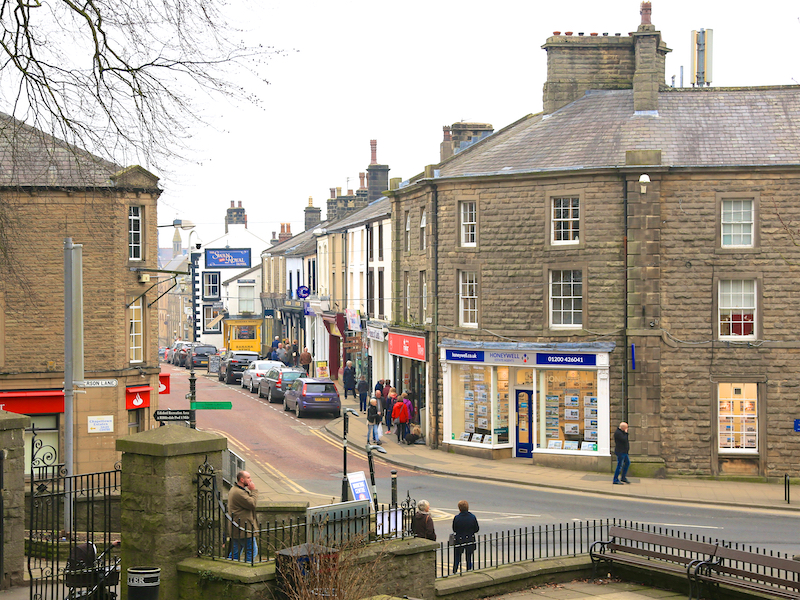
Clitheroe is a small town in the Ribble Valley in Lancashire. The name Clitheroe is thought to come from the Anglo-Saxon for “Rocky Hill”, and was also spelled Clyderhowand or Cletherwoode.
Pye’s of Clitheroe was opened in the early 1870s, and is said to be the second oldest photographic shop in the UK. The only one older is Edward Reeves Photography in Lewes, Sussex, opened in 1855.
1. The walk starts at the railway station, which is part of a transport interchange, so buses also stop here.
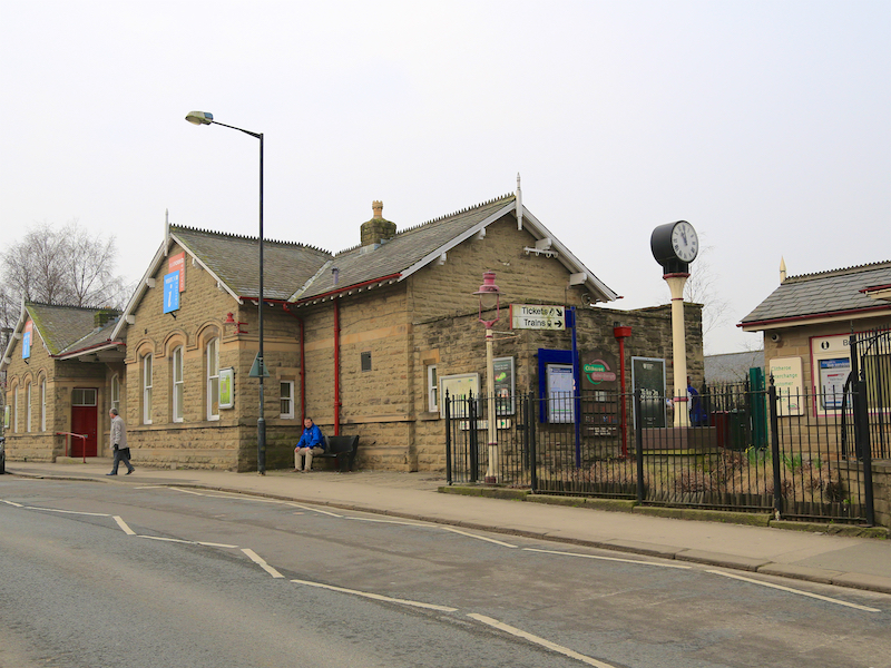
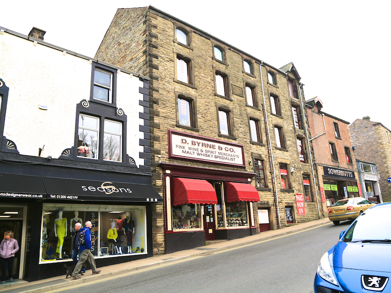
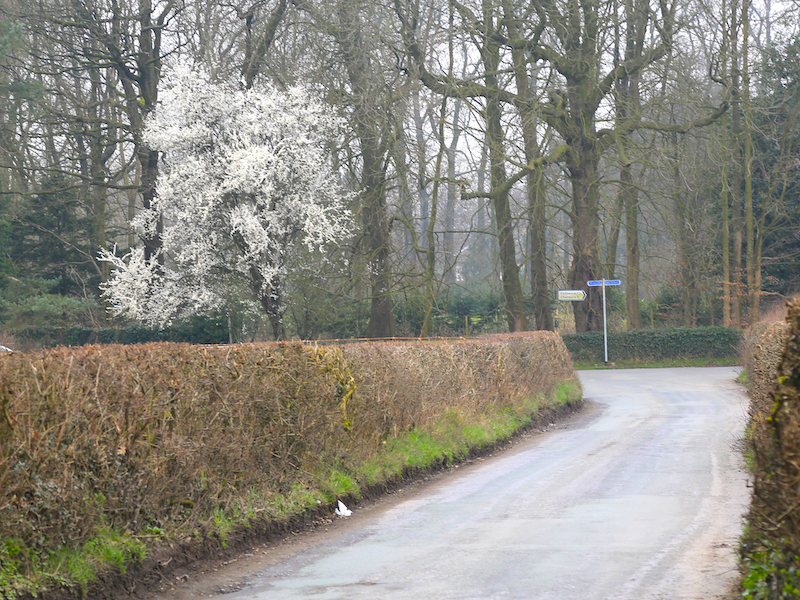
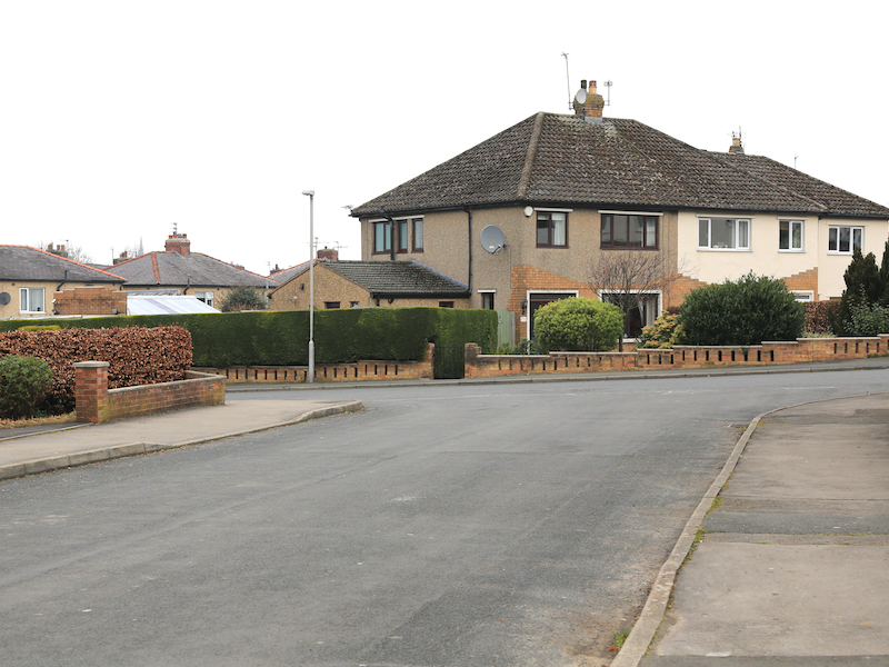
2. Make your way to the front of the railway station, cross the road in front of the station and walk up King Street directly opposite for 200 metres.
King Street is not named after a monarch, but after Captain James King of Clitheroe, an astronomer and friend of Captain James Cook, who travelled on several voyages with him. After Cook’s death, he served in the American War of Independence.
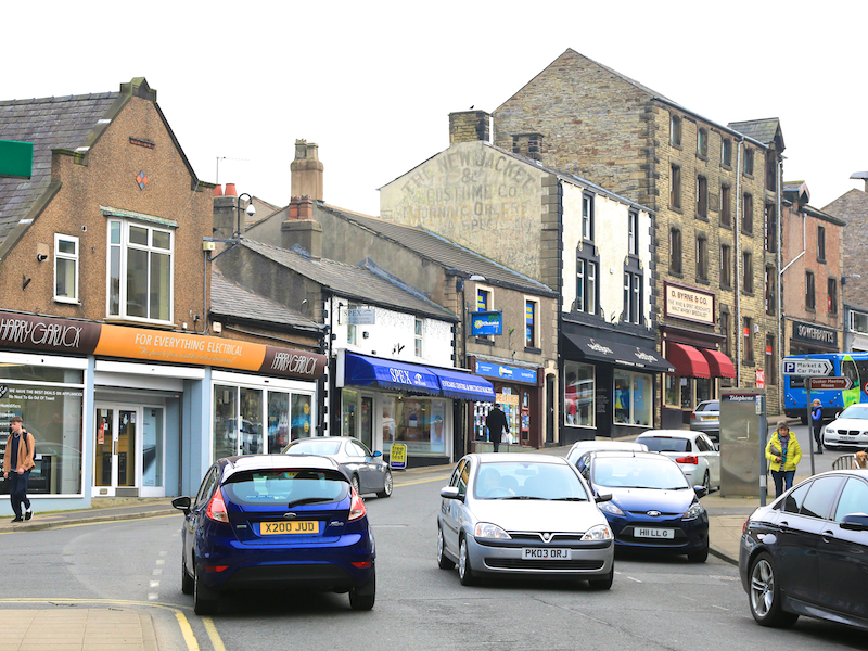
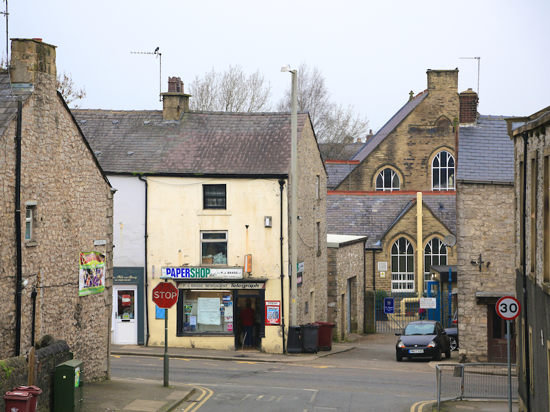
About half way up King Street on the left is Byrne’s Wines and Spirits, dating from 1879. There is a labyrinth of cellars under the street from the 18th century. Just before reaching the top of the street is New Market Street, leading to a site that has been a market since Norman times.
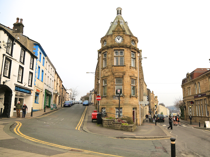
3. Turn left down Market Street at the crossroads with Castle Street on the right, which leads to the castle, of which more later. Take the left fork at the Carnegie Library and go up Church Street.
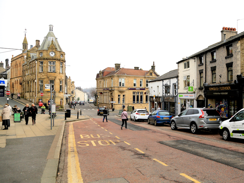
The Carnegie Library was opened in 1905. It occupies a site at the fork of two roads and at the narrowest part features a turret with a clock and a conical roof. Historic England and the architectural historian Pevsner describe the style as “Loire”.
The Salford artist L S Lowry made a number of paintings of Clitheroe, particularly in this area. He stayed with his niece, who lived on Church Brow, a number of times in the 1950s and 1960s.
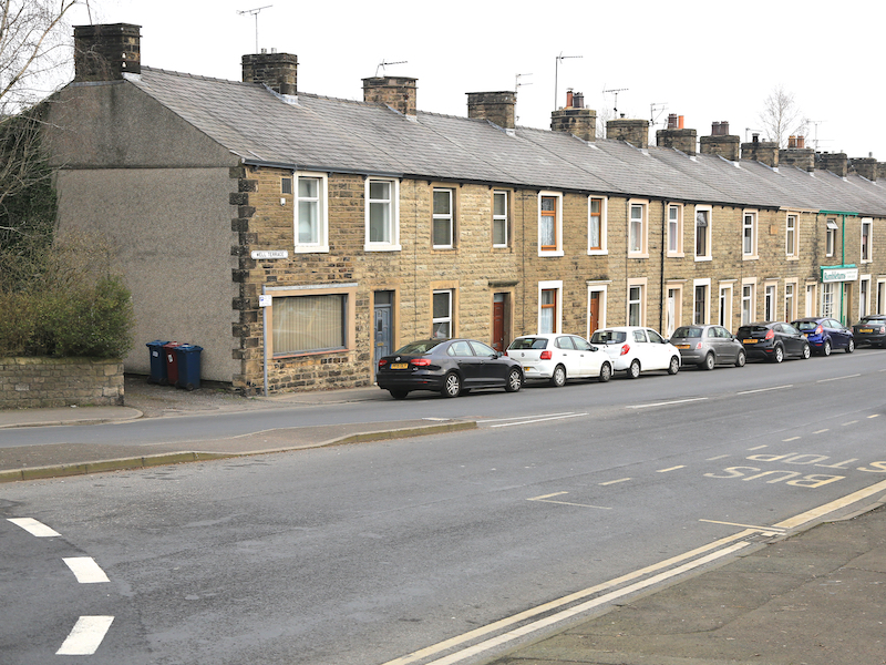
4. Walk up Church Street to St Mary Magdalene Church then down Church Brow to the roundabout. Turn right along Well Terrace, staying on the right side of the road.
There has been a church on the site of St Mary Magdalene since 1122. The current church dates from 1828. The spire developed a twist that had to be corrected in 1969, but the clamps holding the stonework together corroded and the whole spire was dismantled and rebuilt in 2012. Below the wall opposite the door to the tower was a plague pit, last used fir the 1849 cholera outbreak, when 17 people were buried here. The events that became known as The Clitheroe Abduction took place outside the gates of the church.
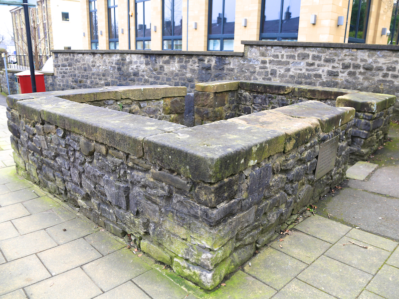
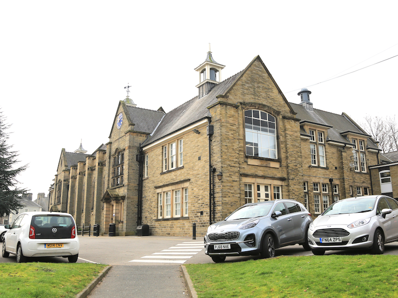
About 50 metres on, by a bus stop is St Mary’s Well, one of three public wells in use until the mid-19th century. Just before the roundabout on the right is Clitheroe Royal Grammar School, founded in 1554. It has been rebuilt several times, having first been in St Mary’s churchyard.
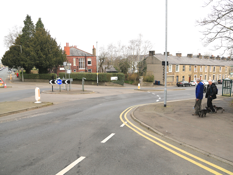
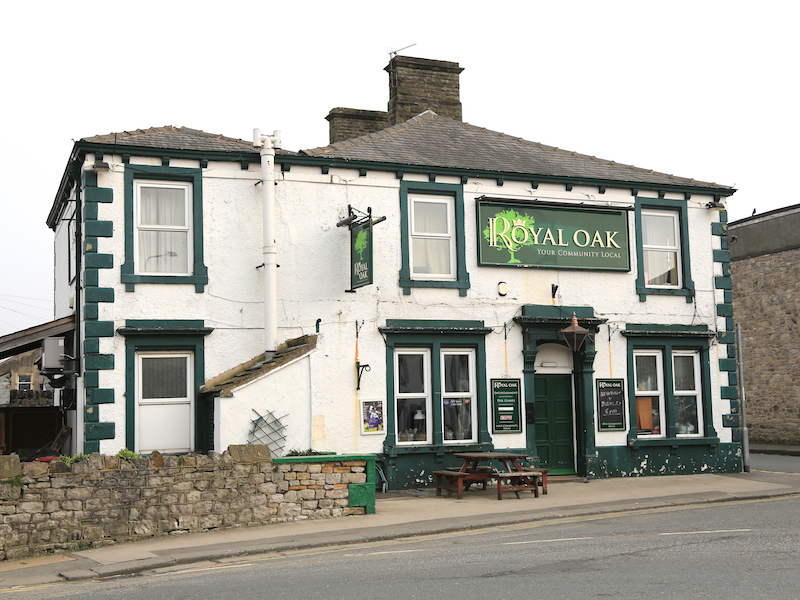
5. Cross the road at the next roundabout, continuing into Waterloo Road, which bears round to the right at the Royal Oak pub. Cross to the left-hand side of the road. Continue for about 200 metres along Waterloo Road, and after a river abuts the road on the left, turn left over the bridge into Shawbridge Street, which becomes Pendle Road at a three-way roundabout, bearing right.
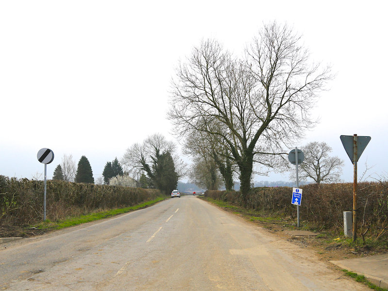
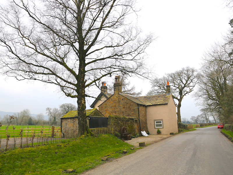
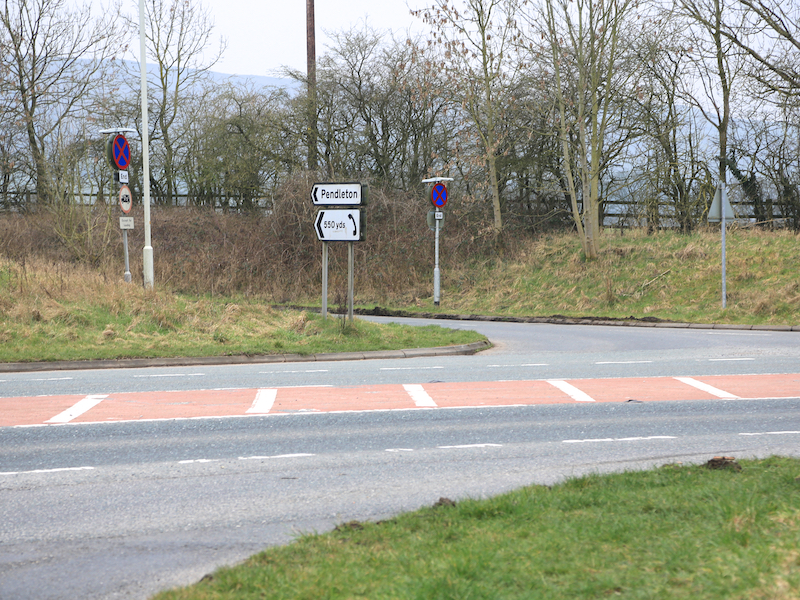
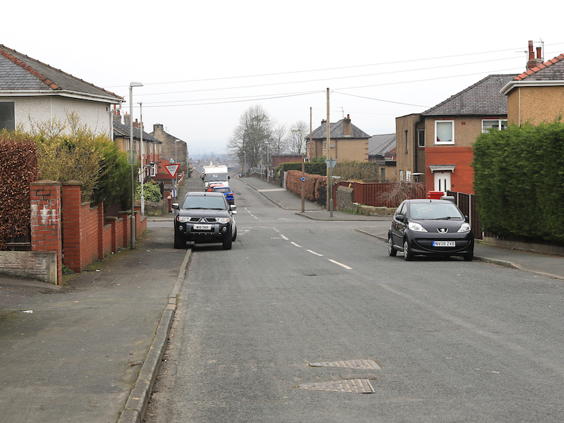
6. Follow this uphill for about ¾ mile to the first crossroads after leaving the town and turn right here, at Four Lane Ends. Walk along this lane until a T-junction just past a beige-painted house. Turn left here, continue ahead and cross the A59, bearing slightly right and go left along the road opposite towards Pendleton.
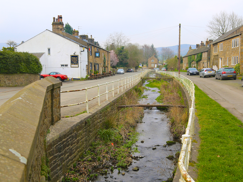
Pendleton is a small village below Pendle Hill. The Swan with Two Necks is an excellent pub that has won many CAMRA awards, including the national pub of the year in 2013.
Pendle Hill is near the towns of Burnley, Nelson, Colne, Clitheroe and Padiham. Its summit is 557 metres (1,827 ft) above sea level. The hill is also famous for its links to three events which took place in the 17th century: the Pendle witch trials (1612), Richard Towneley’s barometer experiment (1661) which led to the formulation of Boyle’s Law, and the vision of George Fox (1652), which led to the foundation of the Religious Society of Friends (Quaker) movement.
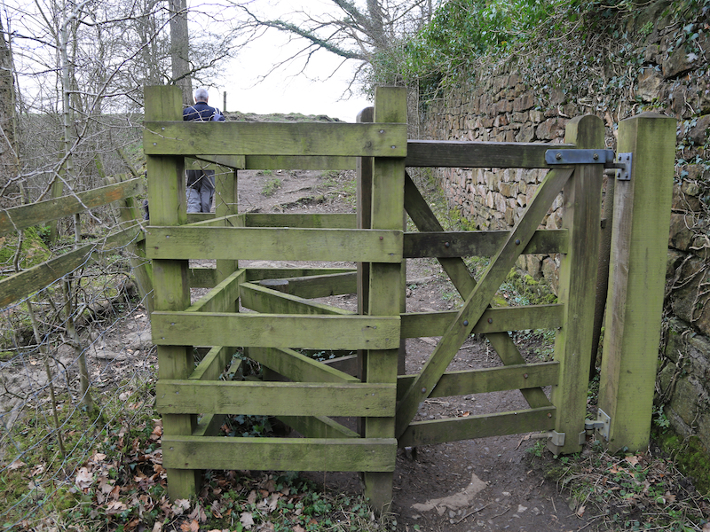
7. After exploring the village, return to re-cross the A59 and return along the lane. At the T-junction, go slightly left then take the path between a wooden fence and a wall on the right. Bear right at the end, go through the gate and continue on the path to the left of a fence with a beech hedge on a wall on the right.
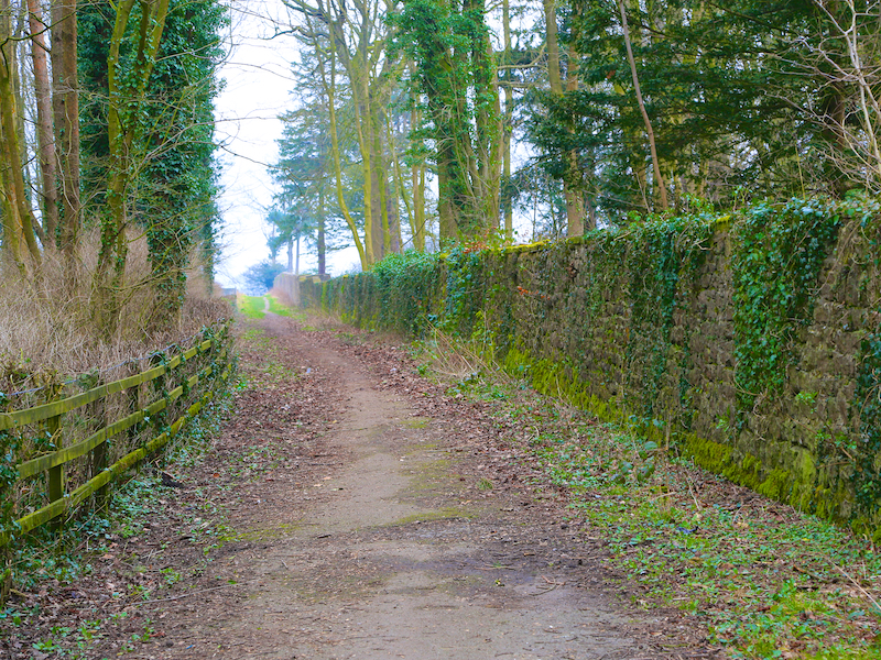
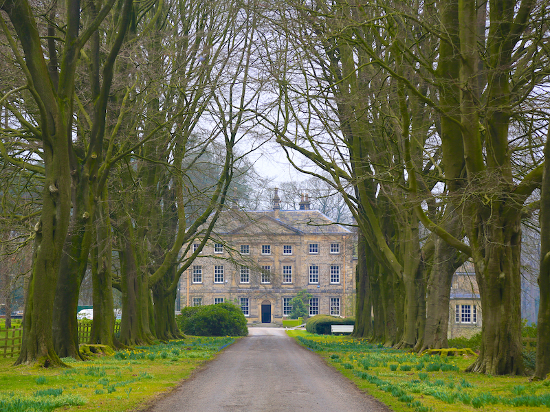
Behind the wall is Standen Hall (first seen earlier at stage 6) owned by the Aspinall family since the 15th century. According to the website Handed On, “The 3,000-acre estate remains in their hands to this day, another example of an enduring squirearchy which has risen almost without trace”.
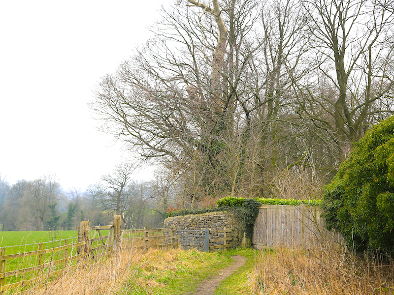
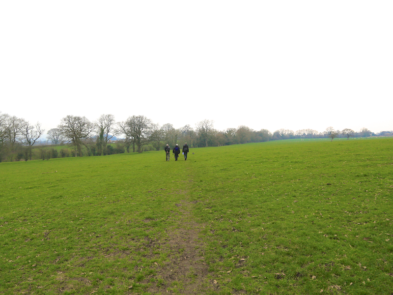
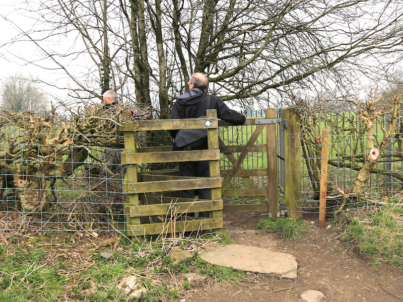
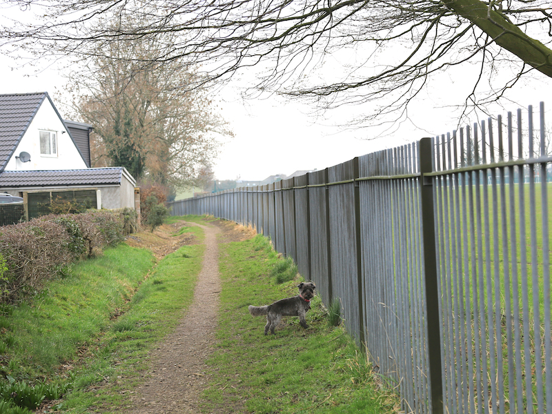
8. Follow the path through a kissing-gate and across a footbridge, through another gate and across a field to a third kissing-gate. Follow the path beside/behind the houses, coming out on Langshaw Drive. Turn right here, then left into Peel Park Avenue, then straight across onto Turner Street.
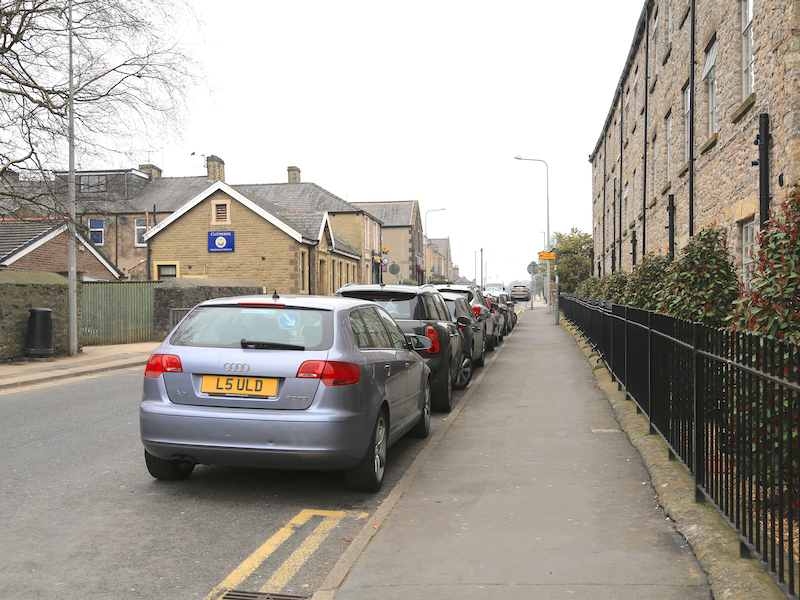
9. At the bottom of Turner Street, turn right into Whalley Road, cross the road then turn immediately left into Greenacre Street, which becomes Eshton Terrace.
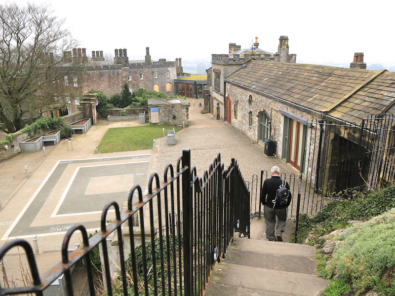
10. At the park gates on the right, turn into Castle Park and follow the paths up to the castle.
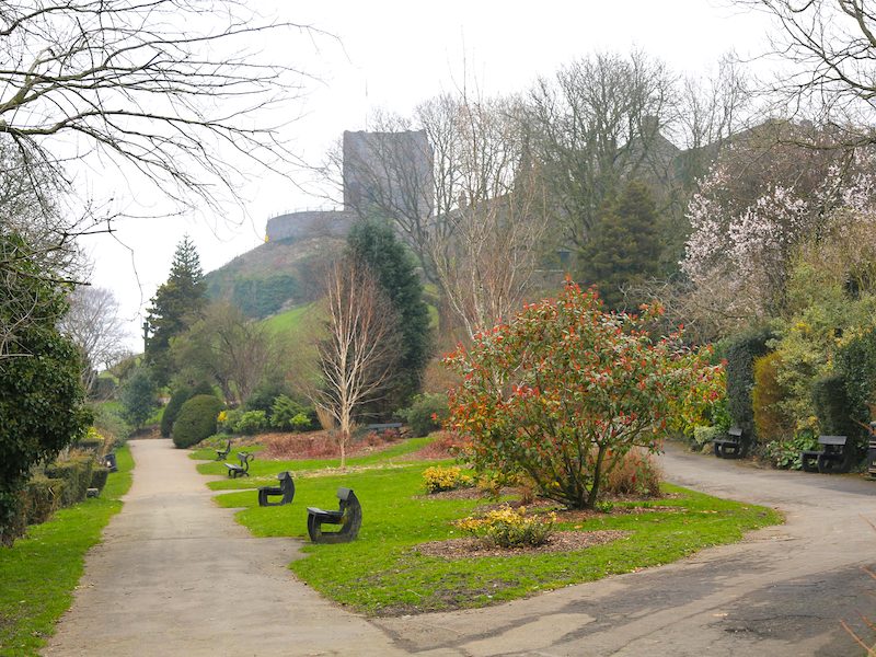
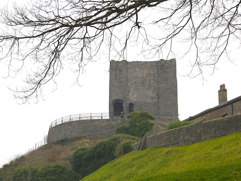
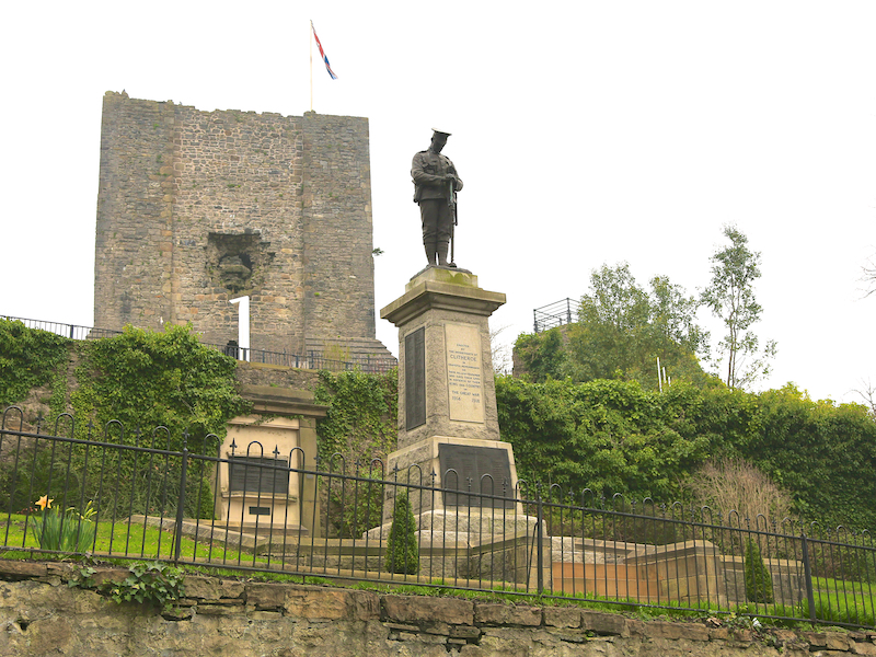
Clitheroe Castle is thought to be of Norman origin, probably built in the 12th century. Property of the de Lacy family, the honour later merged with the earldom and then Duchy of Lancaster. Given to George Monck, 1st Duke of Albemarle in 1660, the castle site remained in private ownership until 1920, when it was sold to the people of Clitheroe to create a war memorial. Today the buildings on the site are the home of Clitheroe Castle Museum. Clitheroe Castle has the smallest Norman keep in England. It stands on a 35-metre outcrop of limestone and is one of the oldest buildings in Lancashire. It is the only remaining castle in Lancashire that was a Royalist garrison during the English Civil War. The castle’s most prominent feature is the hole in its side which was made in 1649 as ordered by the government. It was to be put in “such condition that in might neither be a charge to the Commonwealth to keep it, nor a danger to have it kept against them”.
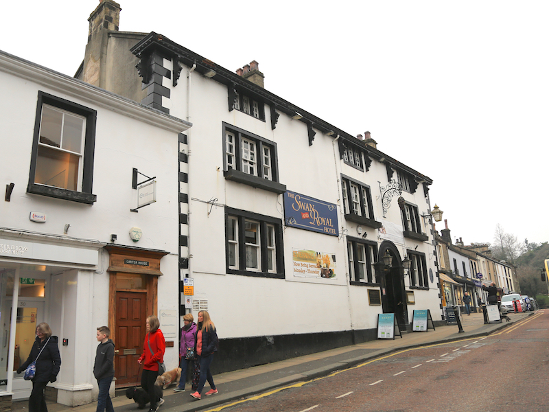
11. After visiting the castle, leave by going down the slope to the gate, then cross the road down Castle Street, passing the Swan and Royal Hotel. Turn left down King Street and return to the station.
Before and during World War II, the jet engine was developed by Sir Frank Whittle. Whittle worked for the Rover Company, and had relocated its factory from Coventry to nearby Barnoldswick. A meeting at Clitheroe’s Swan and Royal Hotel led to the transfer of jet engine development to the Rolls-Royce company. Other notable visitors to the Swan and Royal include Sir Winston Churchill (to inspect progress in the jet engine’s development), Mahatma Gandhi and Ian Anderson of Jethro Tull.