Superlative Walks
Urban and rural trails, each with something very special
GLOSSOP DIRECTIONS
Glossop is situated in the extreme north-west corner of Derbyshire on the western flanks of the Pennines. The town lies on the A57, the main road between Manchester and Sheffield, and is approximately 13 miles from the former and 25 miles from the latter. Although of some early importance as the centre of a considerable medieval parish, Glossop failed to develop substantially before the beginning of the 19th century. The first textile mills appeared in the 1780s, making use of the numerous streams in Glossopdale, and as a result Glossop began to develop as a centre for the cotton industry. The main focus lay in the valley to the south, aided by the active promotion of succeeding Dukes of Norfolk. From the 1820s a new town was laid out, known initially as Howardtown, stretching along the Glossop Brook and the Manchester to Sheffield turnpike. By the 1880s Glossop, incorporating Howardtown, had acquired borough status and was a mill town of considerable importance, with three of the Glossop mills being among the biggest in the whole trade in terms of size, output, turnover and workforce. As a result of these two different focuses of development, Glossop has two distinct areas of contrasting character. In the valley lie the remains of some of the large industrial mill complexes of the 19th century, together with the Town Hall, Market Hall, railway station and streets lined with 19th century terraces. A short distance to the north-east lies Old Glossop, on the site of the medieval village, with its old cross and a number of 17th and 18th century buildings.
Douglas Adams in “The Meaning of Liff” defines a Glossop as: “A rouge blob of food. Glossops, which are generally steaming hot and highly adhesive invariably fall off your spoon and onto the surface of your host’s highly polished antique-rosewood dining table.”
Our walk starts in the adjacent village of Hadfield and approaches Glossop from the north and takes us through Old and New Glossop.
Our walk starts at Hadfield Station, unsurprisingly located on Station road, Hadfield. There are frequent trains from Manchester to Hadfield and Glossop. If you come by car, follow the A57 to the traffic lights at Green Lane, and turn left up Green Lane towards the station (see map). There is parking available near the station if you arrive by car.
Our superlatives begin before the walk itself. If you arrived by train, look down to your left as you cross Dinting Arches, the huge viaduct four minutes after Broadbottom Station. Car travellers will see it and the arches ahead of them at the Green Lane traffic lights.
Dinting Vale Mill was once the largest calico printing works in the world. In the 1840s it was opened by Edmund Potter and his brother. Edmund was co-founder of the Whitworth Art Gallery and grandfather of the children’s author Beatrix Potter.
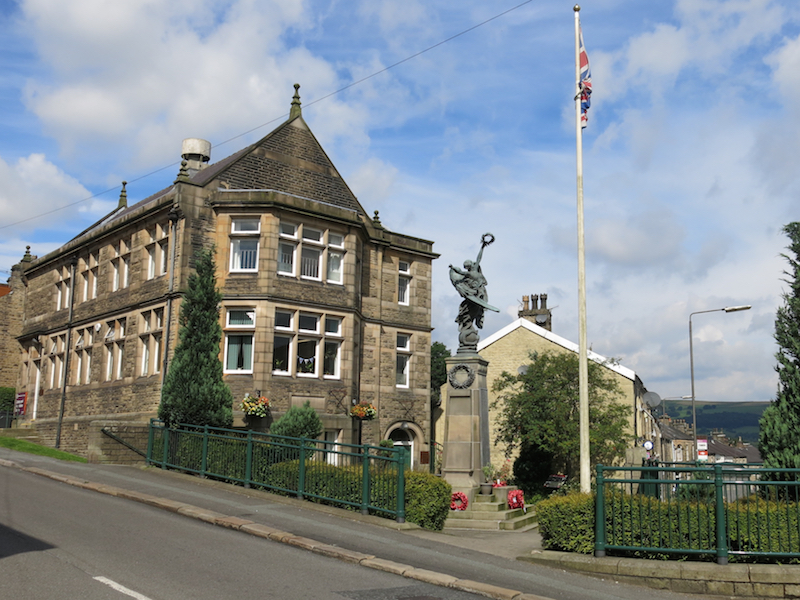
1. Arrive at the station at Hadfield Station by car or train. Walk downhill to the war memorial at the junction of Station Road, Platt and Railway St.
Hadfield Station is the last station remaining on the former trans-Pennine Woodhead line to Sheffield. After Hadfield the line has been converted to a cycle and walking trail. The train line used to pass through the tunnel Woodhead 1 which was one of the world’s longest railway tunnels when it opened in 1845. Passenger services ended in 1970 and the last train passed through in 1981.
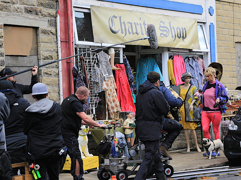
Hadfield was the location for the filming of the first two series of The League of Gentlemen. The memorial features in the opening credits. The show is set in Royston Vasey, a fictional town in Northern England based on Alston, Cumbria. It follows the lives of dozens of bizarre townspeople, all of whom are played by the show’s writers – Jeremy Dyson, Mark Gatiss, Steve Pemberton, and Reece Shearsmith – who formed the League of Gentlemen comedy troupe in 1995. A trip up and down Station Rd will reveal many of the locations used in the series. For more information see http://www.leagueofgentlemen.co.uk.
Hadfield is also the birthplace of Hilary Mantel, the only woman to have won the Booker Prize twice.
2. From the memorial turn right (when facing the station) and proceed up Railway Street to the crossroads with Hadfield Road and Church Street.
Opposite is St. Andrew’s Church. This place of worship was founded in 1874; its foundation can be traced back to the arrival of the railway in Hadfield. When the railway station was built in 1845, the village began to expand in that direction, and in 1855 a school was built, with the intention that it would also be available for divine worship, until funds were available for a permanent building.
3. Turn left up Hadfield Road, which becomes Park Road and crosses the railway line by a stone bridge. On your right is the entrance to Bankswood Park.
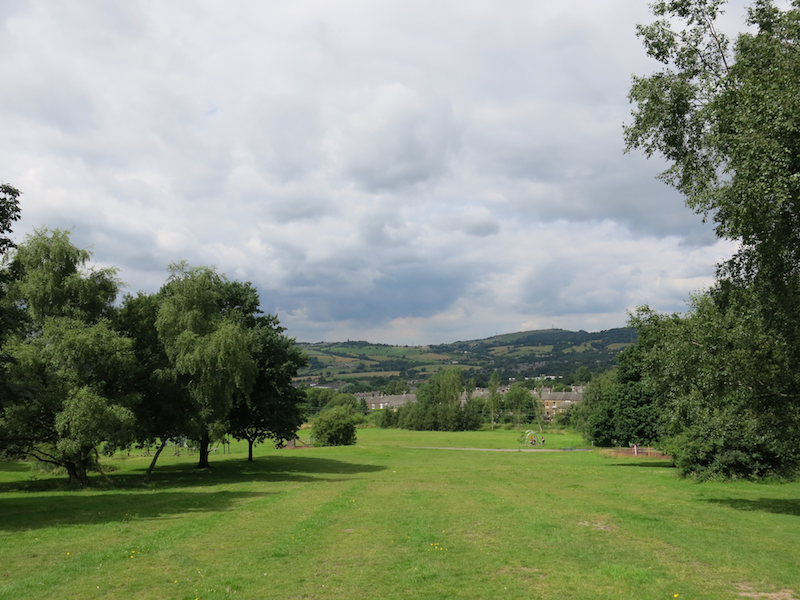
At this point there is an optional detour through the park, the site of Hadfield’s world famous “Bankwoodstock” music festival. Re-join the road at the top of the park.
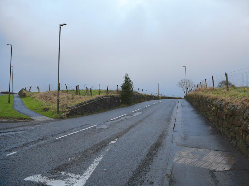
4. Continue up the Park Road, which is briefly renamed Marlow Brow and continues steeply to a junction with Redgate and North Road, just before the crest of the hill.
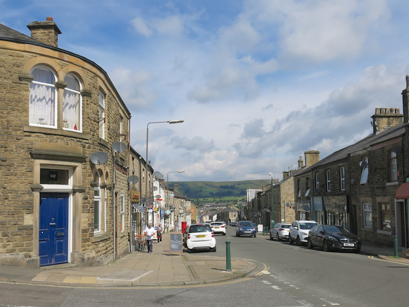
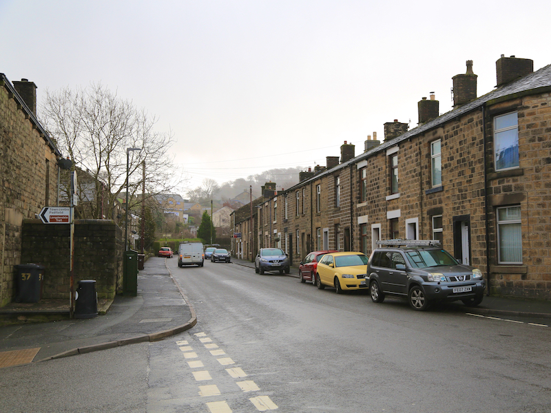
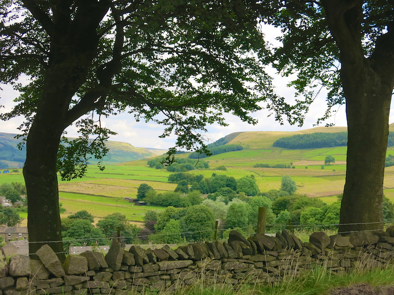
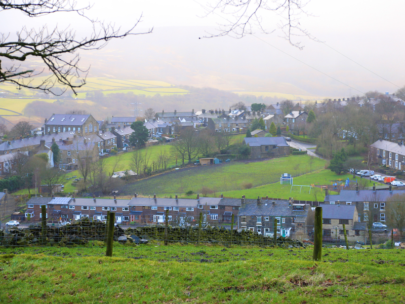
There is a bench here for a short rest and an opportunity to admire the views of Hadfield, Padfield and the Pennines to the left. The village of Padfield lies on the fringe of the Peak District National Park in the High Peak District of North Derbyshire. It was once a mill village with signs of a bygone era still visible today. The current facade is one of a village community with its many stone terraced cottages, allotments, Independent Chapel, community primary school and the only village public house, the Peels Arms pub. Much of the village is part of a conservation area, which helps to maintain the natural beauty and local wildlife of the village so it can be enjoyed by both locals and visitors. Padfield is edged by beautiful countryside with easy access to the Longdendale Trail, a former railway line now used by walkers and cyclists alike, nestled in the stunning Longdendale Valley and the six reservoir chain that, when built, was the largest artificial expanse of water in the world. For a while Padfield was home to Bez and Shaun Ryder from the Happy Mondays.
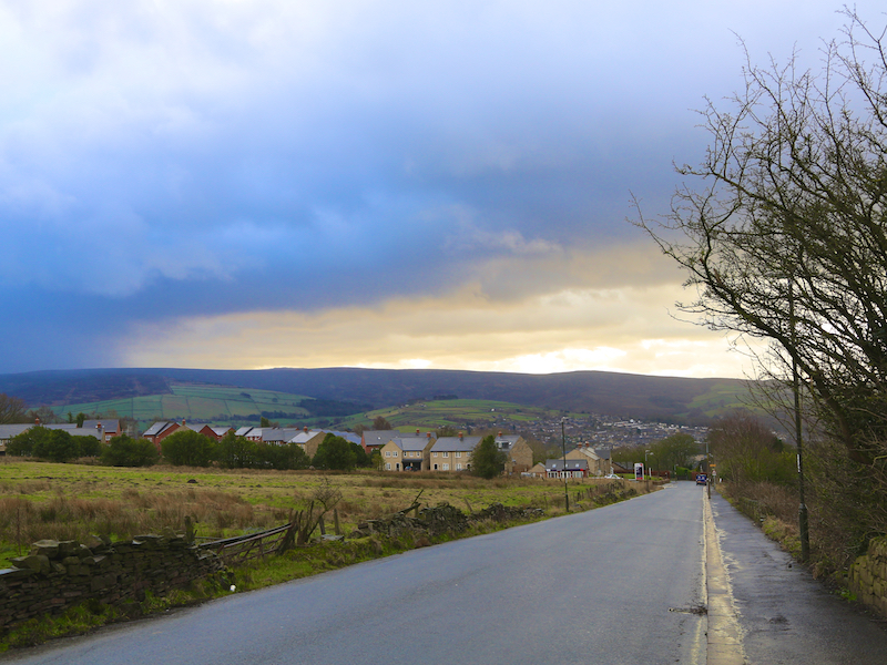
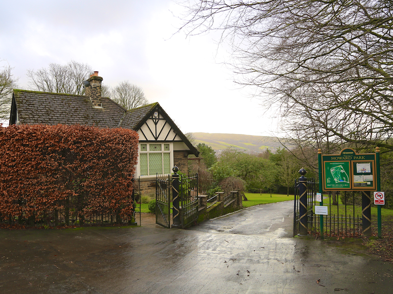
5. Turn right on North Road, which, after a short climb, descends. Follow North Road to the entrance to Howard Park at the junction with Park Crescent
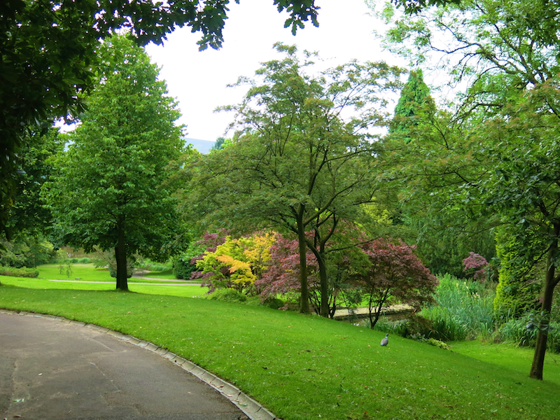
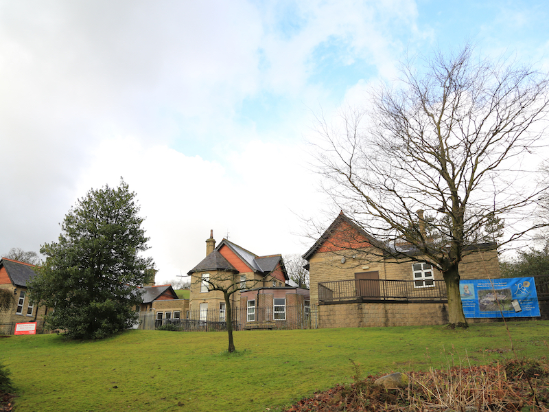
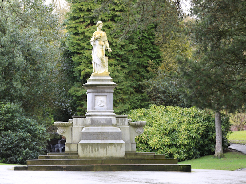
Howard Park is a public park occupying about 5 hectares, including a swimming pool. The original concept of the layout was for private gardens to appear to merge with the larger recreation ground. This has generally been maintained. In 1887 the Wood family, cotton industrialists and prominent employers in the town, announced that they would provide a hospital, baths, and public park. Land was offered for the project by Lord Howard of Glossop. The design and laying out of the park were carried out by Henry Ernest Milner. A Manchester architect, Mr Murgatroyd, designed the hospital, baths and lodges at the two entrances. The hospital is currently being converted into a respite centre by a local charity, ”Reuben’s Retreat”.
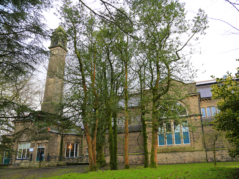
6. Descend through the park, taking the path down to the left, aiming for the imposing Victorian swimming baths at the foot of the hill.
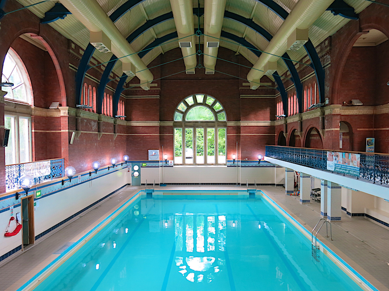
Set in the woodland of Howard Park this Victorian swimming pool, completed in 1887, was re-opened after major refurbishment in 1993. The pool hall itself is a classic example of Victorian architecture, creating a vast airy space combined with modern lighting and surfaces.
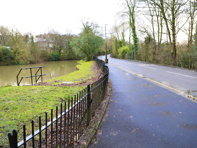
7. Leave the park by the gate to the right of the small lake, turn left and follow the road to the crossroads and continue straight ahead at the crossroads and follow Talbot Road.
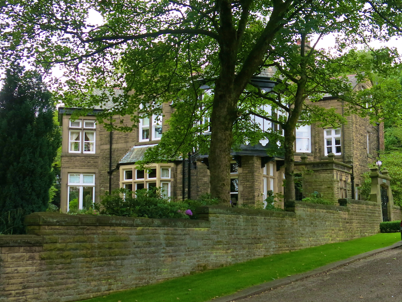
Note the large Victorian houses along Talbot Rd. Once homes of mill owners, now occupied by local celebrities and at least one footballer. On the right is the local secondary school, Glossopdale Community College. Due for demolition and re-building in Hadfield in 2017, its new slogan has been adopted by Superlative Walks for its clarity and brevity: “Best by all”
8. At the junction with Woodhead Road (B6105) cross over and walk almost straight across down Hall Meadow Road.
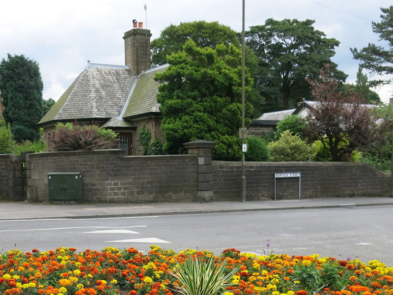
Look for the lodge to your right, which once formed the entrance to the now-demolished Manor House.
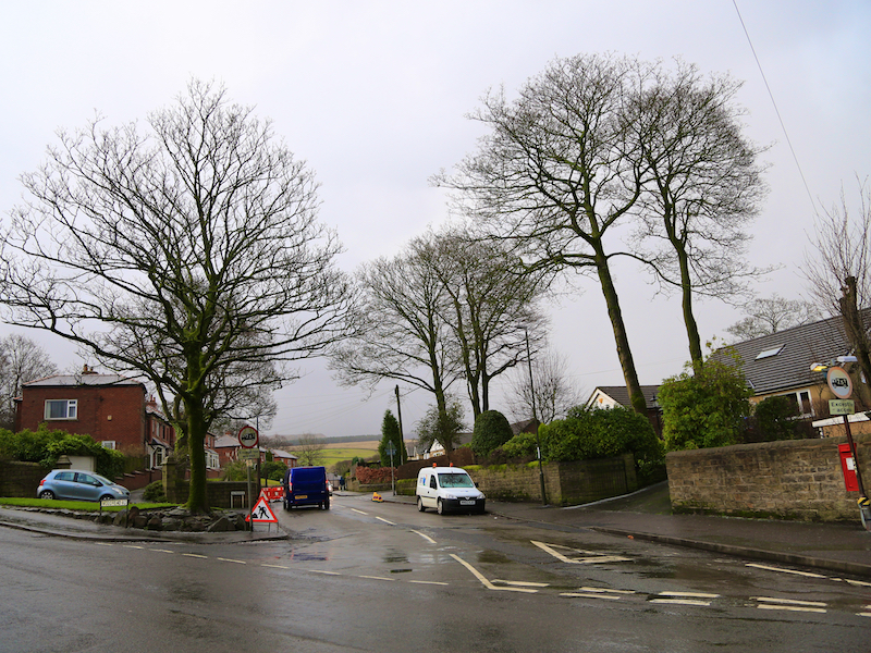
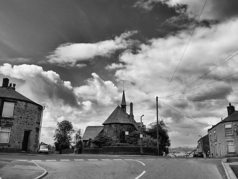
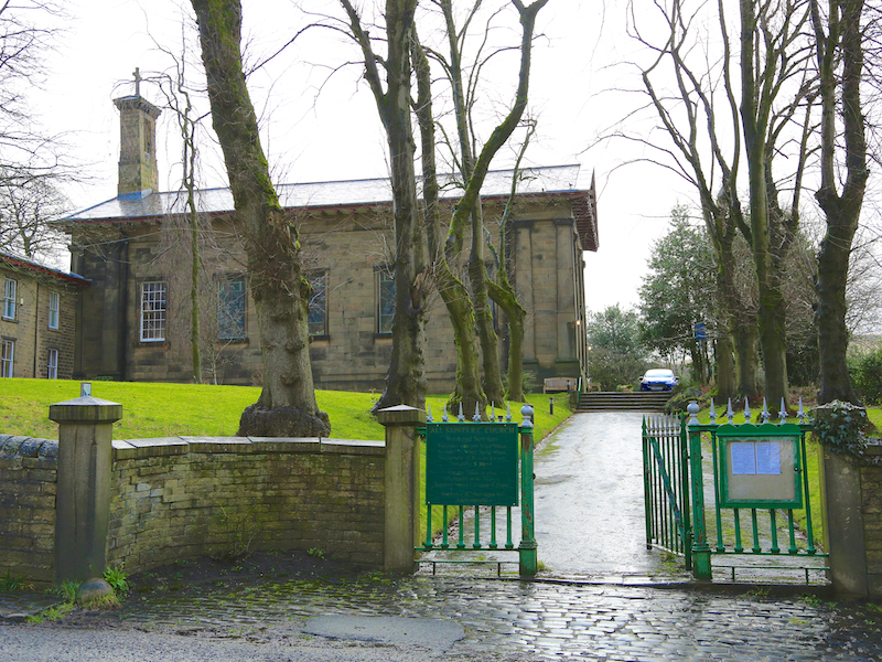
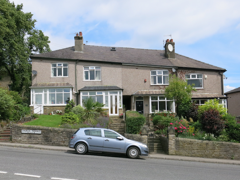
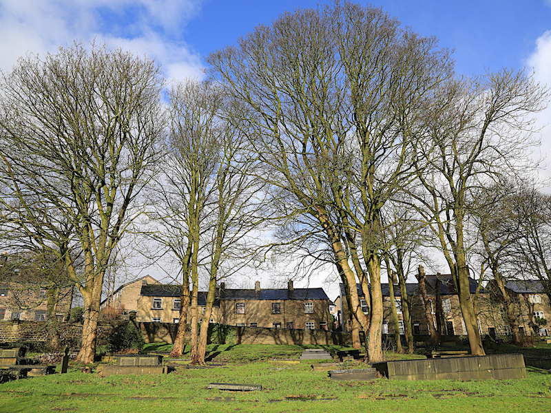
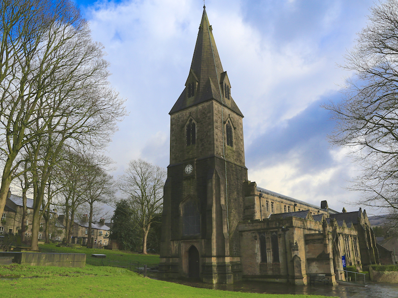
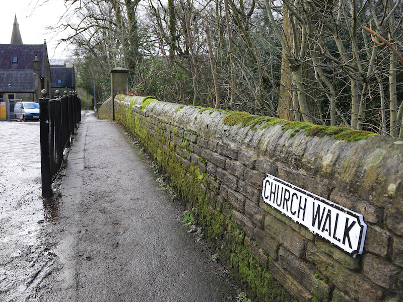
9. Hall Meadow Rd rises and becomes Church Terrace, then Church Road. At the Shire Hill Hospital sign take Church Walk straight ahead into the churchyard.
There have been several church buildings on this site, probably since shortly after the Norman Conquest. The present structure is the result of a rebuilding programme which began in 1831 to replace a late mediaeval church. The first stage in the rebuilding was in 1831 to replace the nave using the old buildings as a quarry. The chancel followed shortly afterwards but the original short tower and spire were kept for a further 22 years before they too were replaced. The nave of 1831 was a very poor building. There was a move to replace it when the tower was rebuilt in 1854, and again in 1887, but money was not forthcoming and it was not until 1914 that it was rebuilt. The chancel was rebuilt and extended to its present length in 1923. The school was originally endowed and built, with a Master’s residence, in 1852 by Henry Charles, 13th Duke of Norfolk, and enlarged in 1887 to accommodate 250 boys, 250 girls and 100 infants.
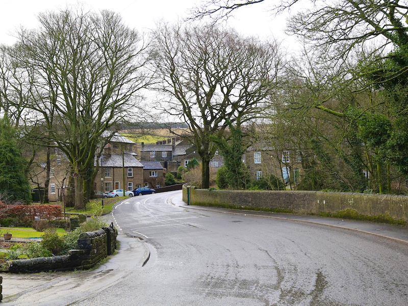
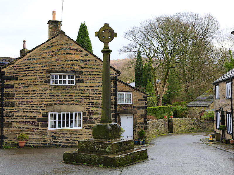
10. Leave the churchyard by the main gate at the east end, and turn right onto Church Street then straight across down Old Cross.
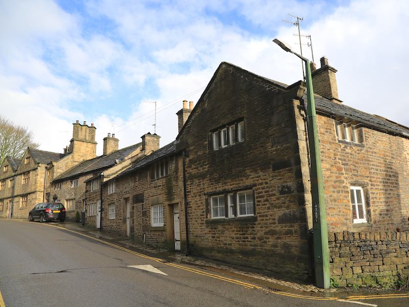
In the early 14th century the manor of Glossop was leased to the Talbot family, later Earls of Shrewsbury, who retained it until the Dissolution in 1537. In 1606 it came into the ownership of the Howard family – the Dukes of Norfolk – who held it for the next 300 years, with Glossop usually being given to the younger son of the family. The town was then based around Old Glossop and in the 16th and 17th centuries it expanded considerably as the wool and cotton spinning industries developed, and a number of old weavers’ cottages can still be seen in Old Glossop.
11. Follow Old Cross to Shepley Street and turn right heading towards the Queens Arms.
At this point if you wish you can walk up Shepley St towards open country and Doctor’s Gate, the old Roman road to Sheffield.
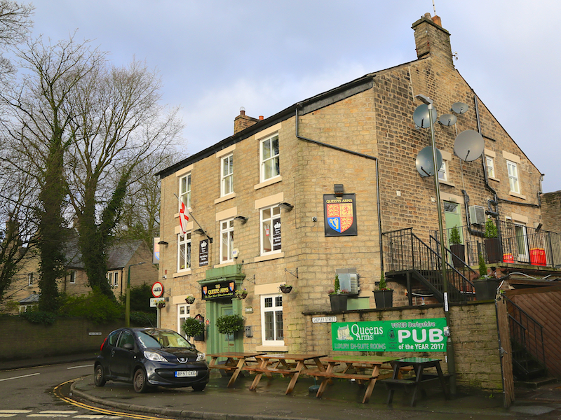
12. At the Queens Arms, turn left onto Manor Park Road crossing Glossop Brook and proceed down Manor Park Road to the first small entrance to the park on the right hand side of the road.
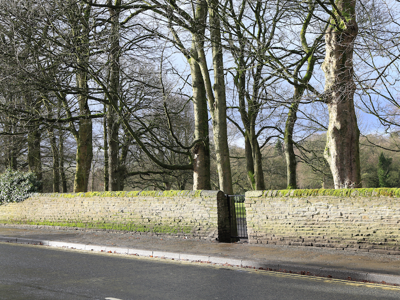
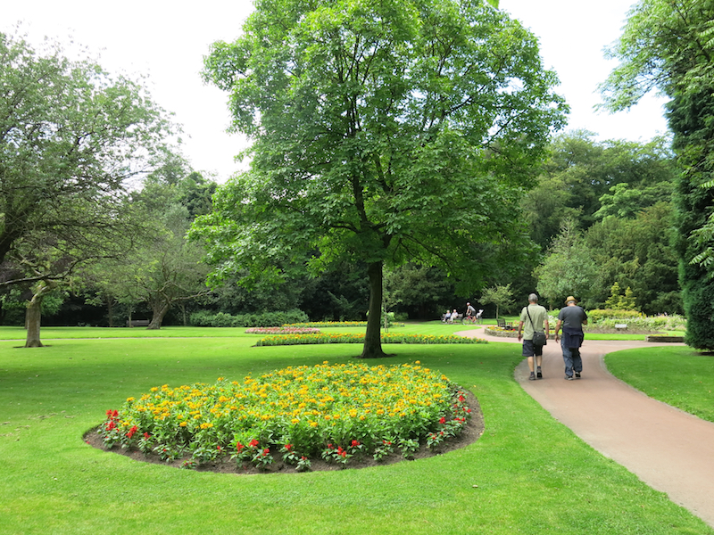
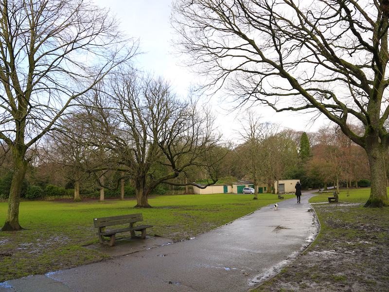
Manor Park is 60 acres in size. It is called Manor Park because it was the grounds of the hall owned by the Duke of Norfolk. The old hall became unsafe and was demolished. The grounds were given to the people of Glossop. The original lodge still remains at the main entrance but there is little trace of the old hall. Oak panelling from the old hall is now in a pub – the Peels Arms – in Padfield. A river, Glossop Brook flows through the park.
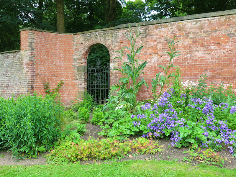
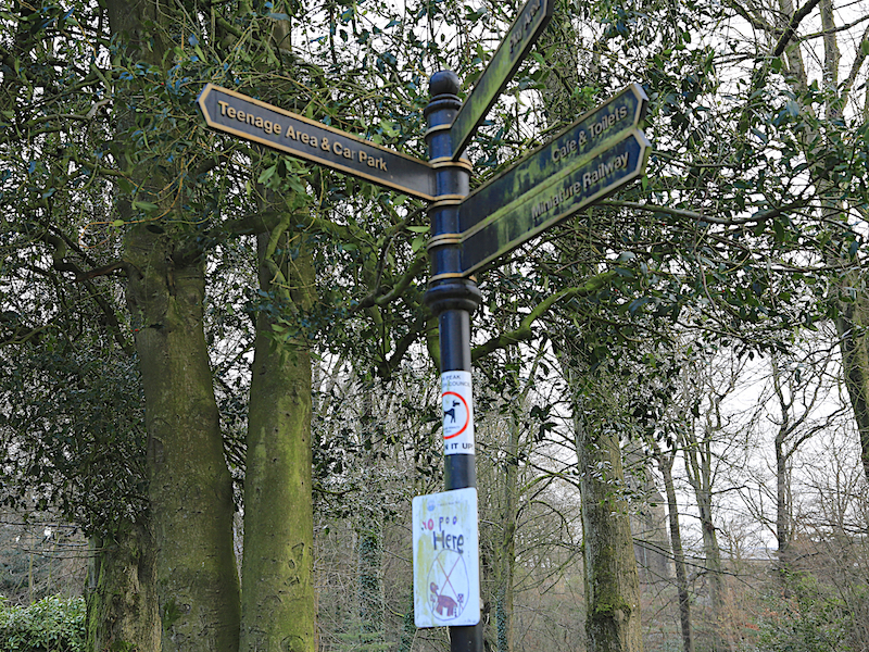
13. Cross Manor Park, Heading diagonally southwest, then turn right onto the larger path, then turn left before the river bridge at the ‘Teenage Area & Car Park’ sign, through the rose garden and over the bridge to the duck pond. Go left round the pond, then leave the park by the car park.
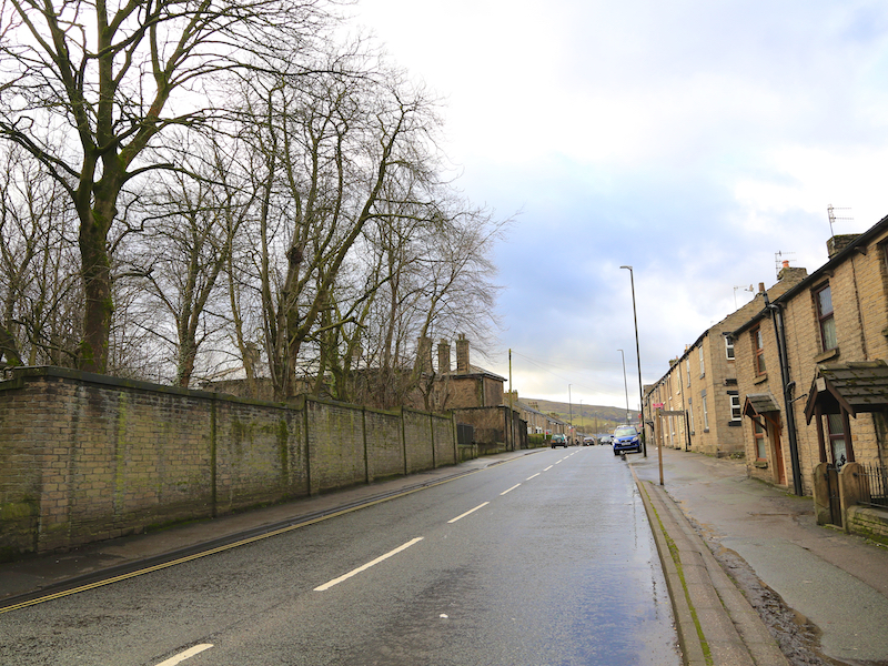
The A57 is ahead. It was designed as a toll road by Thomas Telford to improve communications east of Glossop, which was expanding as an industrial town. It was originally called the Sheffield to Glossop Turnpike and run by a turnpike trust, the Sheffield and Glossop Trust. An act of parliament to build the road was passed in 1818, and construction was financed by the Duke of Norfolk and the Duke of Devonshire. The road opened in 1821, having cost £18,625 to build. Upon opening, it was the highest turnpike road in England. The road was immediately popular and increased toll collections of traffic heading to Glossop. Tolls were abolished on the road in June 1870.
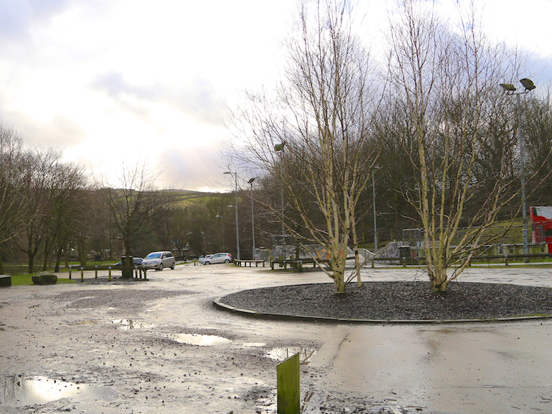
14. From the car park take Corn St to the roundabout and take the second right onto Shirebrook Drive, which becomes High St East heading towards the centre of Glossop
To the right are the vestiges of the Howardtown mill. The original mill was built in the 1780s and in 1819 it was taken over by the Wood family who were great benefactors to the town. The buildings once stretched for over a quarter of a mile and employed 1,500 workers. Glossop was one of the earliest industrial settlements which relied on water power to drive the early machines. At the height of the Industrial Revolution there were 46 mills along the streams. The name ‘Howardtown’ was given to this part of Glossop and was so called after the family name of the Duke of Norfolk, who owned most of the land.
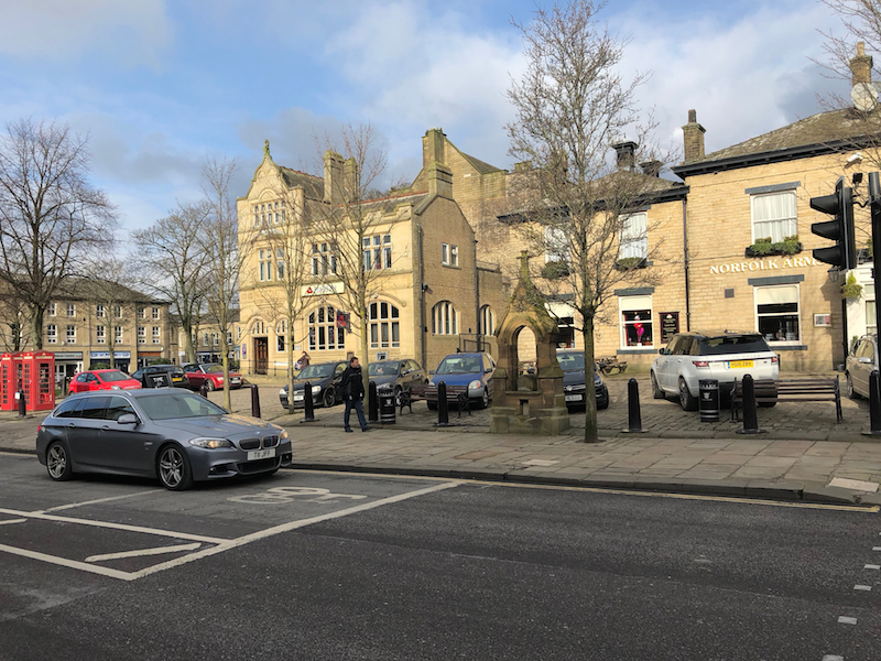
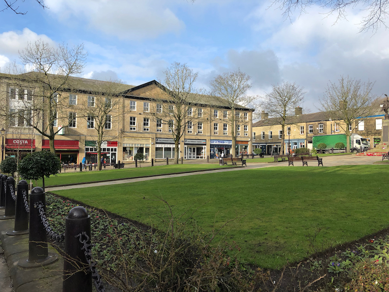
15. Continue on the right hand side of High Street East to the cross roads and traffic lights with Victoria St. Cross over to the Norfolk Arms Pub and continue into Norfolk Square.
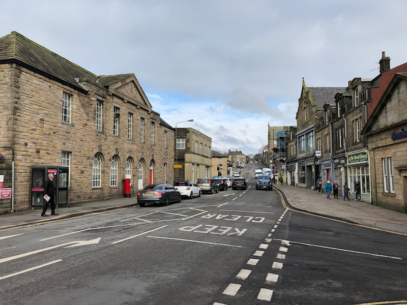
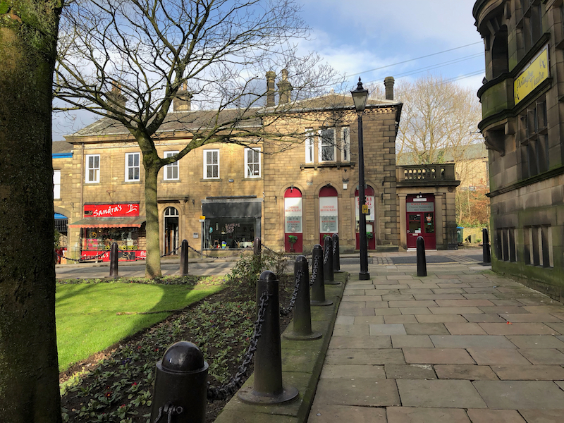
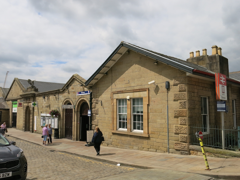
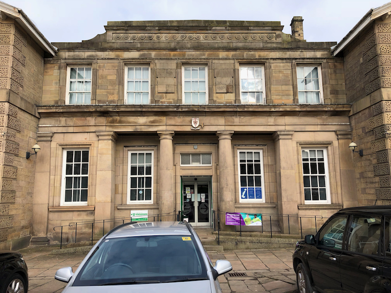
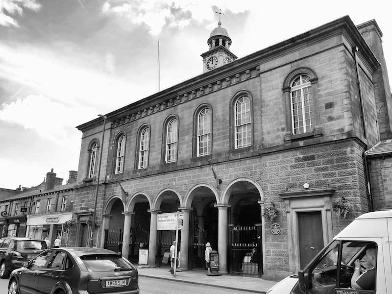
The new town centre was developed around the Town Hall, which was erected in 1838, with a distinctive looking clock tower. Its arcaded ground floor is now used as a small shopping centre. A Market Hall was constructed six years later, where markets are still held today. At the rear of the building are the impressive looking Municipal Buildings, which display the Borough Coat of Arms above the entrance. A number of delightful sandstone buildings were built around Norfolk Square, which together with its lawns, trees and flower beds considerably enhanced the appearance of the town centre. Glossop Heritage Centre is situated at the top of Norfolk Square, now combined with the Tourist Information Centre. Just across the road is the Partington Theatre; a modern sculpture of Hamlet made by the members has been placed in a niche above the doorway. The railway station in Norfolk Street has the Howard lion proudly standing guard over the entrance.
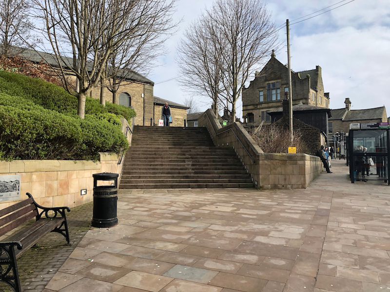
16. After enjoying the square, turn right along Henry St, and left up the steps to Norfolk St with the Co-op and Station on your left and The George Hotel on your right.
Henry Howard, 13th Duke of Norfolk built the spur line from Dinting viaduct to Howardtown at his own expense over his own land. He then sold it to the Sheffield, Ashton-under-Lyne and Manchester Railway. The station was opened on 9 June 1845 to goods traffic; the formal opening was on 30 June 1845; it was attended by some of the SA&MR directors, and passenger traffic began immediately afterwards.
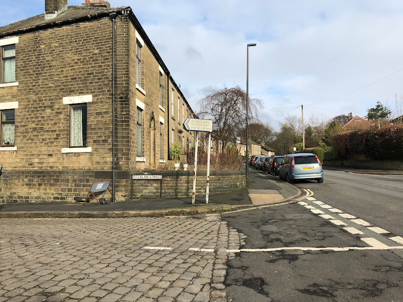
17. Continue up Norfolk St and take the 3rd turning on the left down Fitzalan Street.
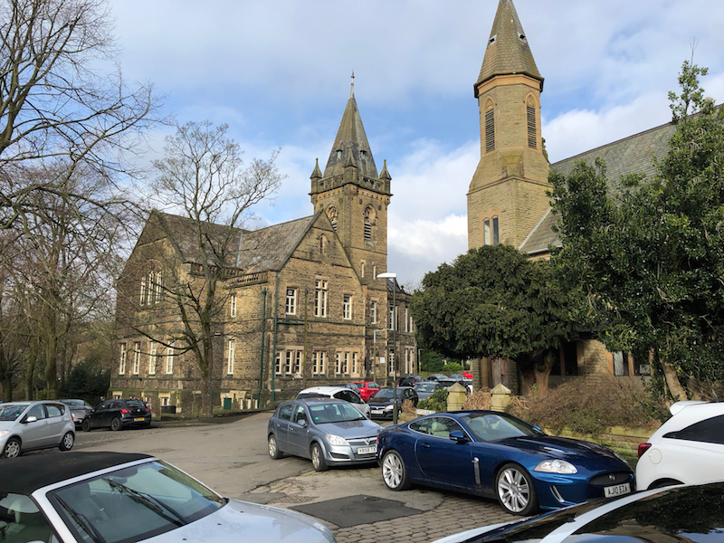
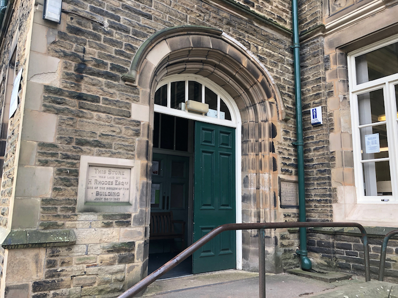
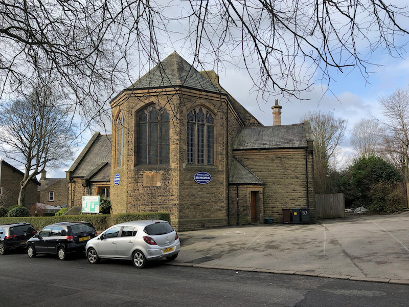
18. Turn Right onto Talbot St and visit the Library, and Church.
Victoria Hall, a grand gothic revival hall purpose-built in 1888 on land donated by Francis Edward Howard, 2nd Lord Howard of Glossop. The hall, which is in need of major renovation after years of neglect, including to its unused upper floor with its retro-sprung dancefloor, is now proposed to become an Arts Centre.
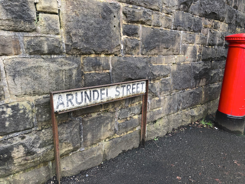
19. Turn left down Fauvel Rd, which becomes Arundel St.
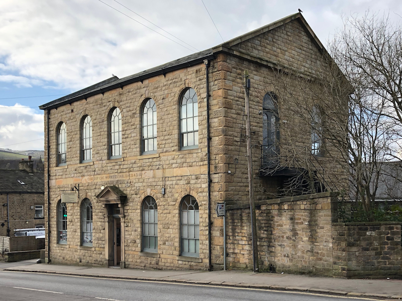
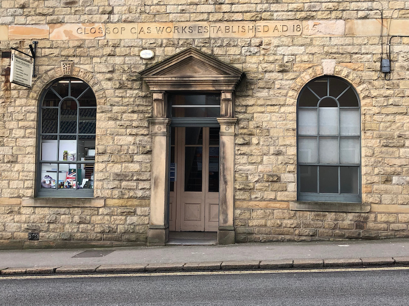
On the right you will see the former gasworks building (the gasometers were on the site now occupied by Aldi). Glossop gasworks was built in 1845. The Glossop Gas Light Company was set up by the Duke of Norfolk for a cost of £6,000. The site closed in 1957.
20. Turn right onto High St West, cross at Shrewsbury St and take the pathway to be found just after the bridge onto the riverside walk.
Behind you is Glossop Town Football Club which was one of the founding members of the Football League. Members of the Wood family, rich, local mill owners, who were great benefactors to the town, helped to establish Arsenal Football Club and have been directors of the club for over 100 years! The town cricket and bowling club is used annually for Derbyshire County Cricket Club Second XI matches.
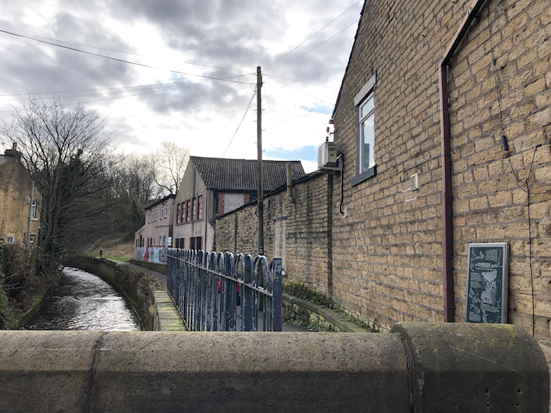
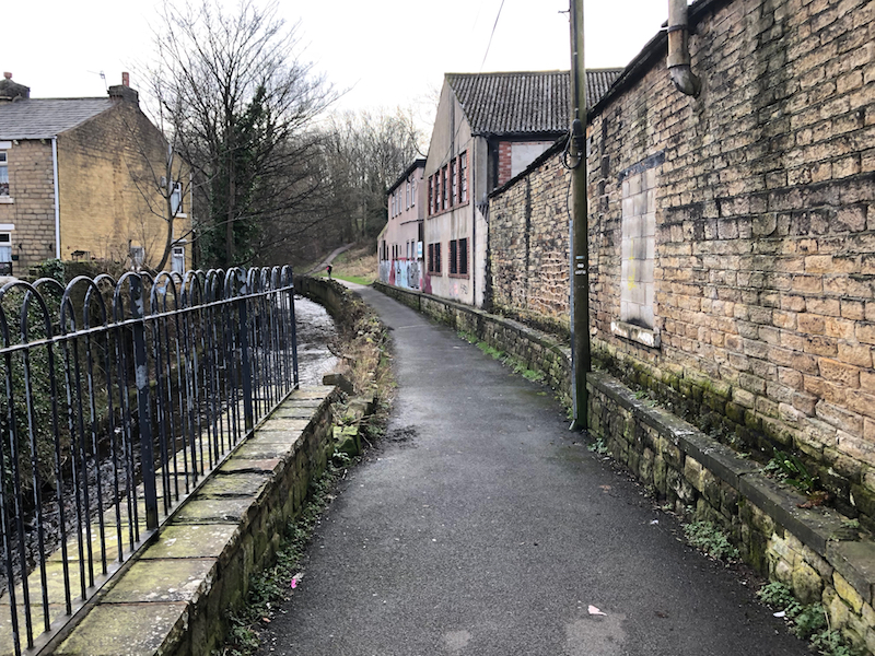
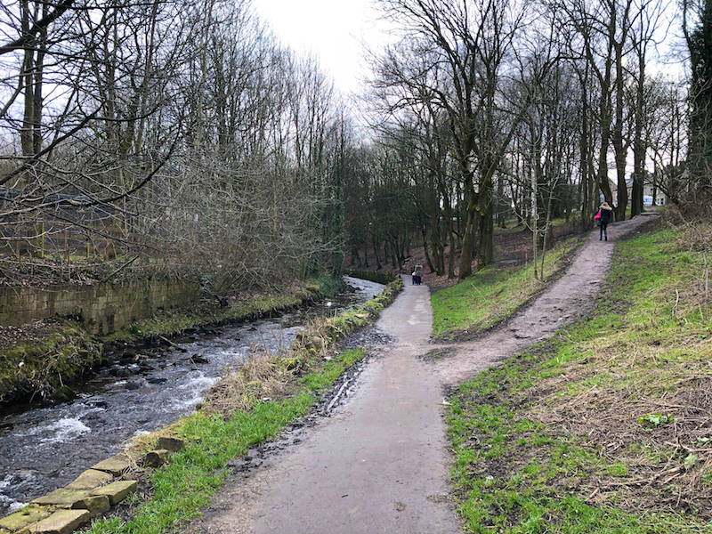
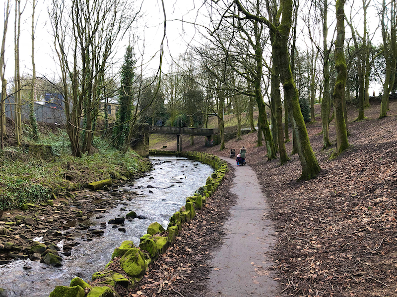
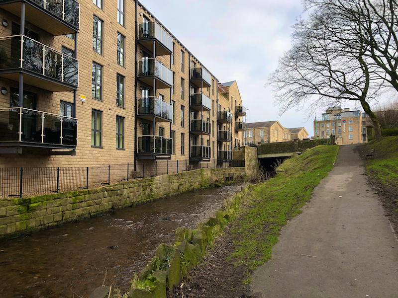
21. Continue along the Riverside Walk with Glossop Brook on your left until you emerge on Philip Howard Road.
Glossop has been included as pilot in the Liveability scheme, and has drawn up the Glossop Vision masterplan for the improvement and gentrification of the town. This is being partially funded by the Heritage Lottery Fund. It aims to open up access to the Glossop Brook, to coordinate developments in Glossop town centre, to enhance the built environment and to link the town to its wider setting. As such, the mills have become a retail development with housing, trees are to be planted along the A57 and the market square has been pedestrianised.
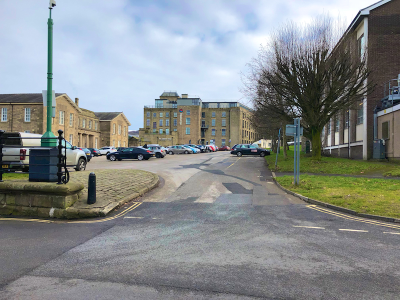
22. Enter the Market Place car park and approach the Town Hall and Indoor Market and Arcades.
The Glossop Town Hall and Market were built by Bernard Edward Howard, the 12th Duke of Norfolk, who died on 16th March, 1842. The Town Hall is built of stone in the Italian style, and was designed by Messrs. Weightman and Hadfield, of Sheffield, and cost £8,500. The foundation stone of the Town Hall was laid with much ceremony, processions and rejoicings on Queen Victoria’s Coronation Day, 28th June, 1838. Within its walls, many musical and other celebrities have been heard by Glossopians. Many exciting public meetings have been held in it, and it has been the object of attack by election rioters. The Town Council meetings have always been held in the Council Room of the Town Hall. The County Court and Petty Sessions for the Borough and the County portion of the Parish are also held here, and many painful scenes have been witnessed at the trials of murderers, coiners, burglars and other criminals. The market was opened on the 12th July, 1845, and proved such a success and convenience generally that it was enlarged in 1854.
23. Turn left out of the car park, Cross High at the lights and go up the hill to end the walk at Glossop railway station.