Superlative Walks
Urban and rural trails, each with something very specialHebden Bridge – Directions
1. The walk starts outside the Tourist Information Centre, beside the Canal Marina. Turn left and walk along New Road.
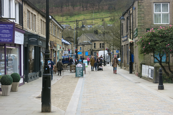
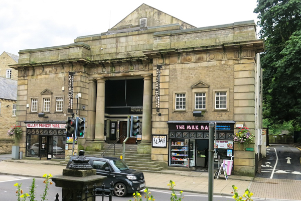
Across the road is the Hope Baptist Chapel, a classical building from 1857, built for the Particular Baptists, who took their name from the doctrine of particular redemption. Opposite this, is the Hebden Bridge Picture House, built in 1921, saved from closure by a local campaign and restored in 1978.
2. Cross the road and turn right up Crown Street.
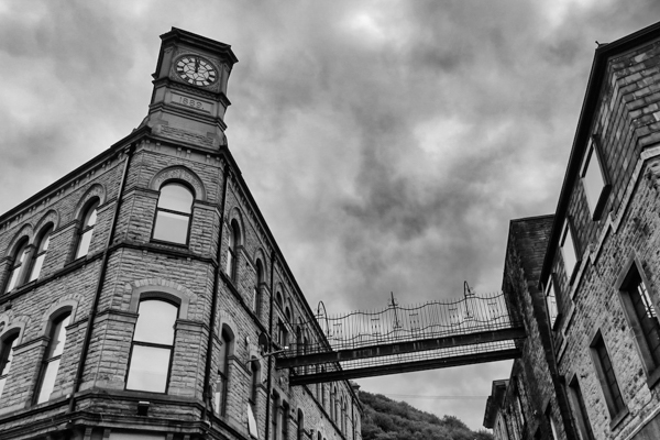
Note the fine stone buildings on the right. In particular, almost opposite our next turning, into St Georges Square, is the Carlton Buildings, built for the Hebden Bridge Cooperative Society in 1889. Note the cast iron bridge across Carlton Street: a fire escape, essential in the Buildings’ heyday, when the top floor was used as a ballroom.
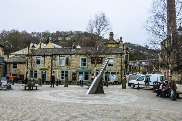
3. Turn left into St George’s Square, which contains some of the oldest buildings in the town.
The Square (“triangle” perhaps) was pedestrianised in 2007. The sundial sculpture(2008) represents a knife used to cut the grooves of fustian cloth.
4. At the far side of St George’s Square, cross St George’s Bridge (1892).
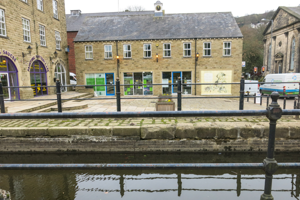
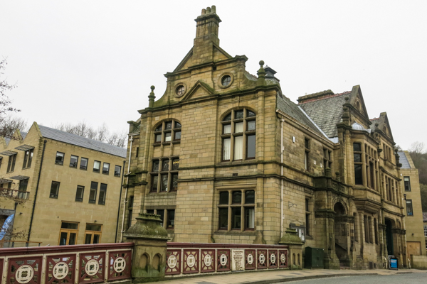
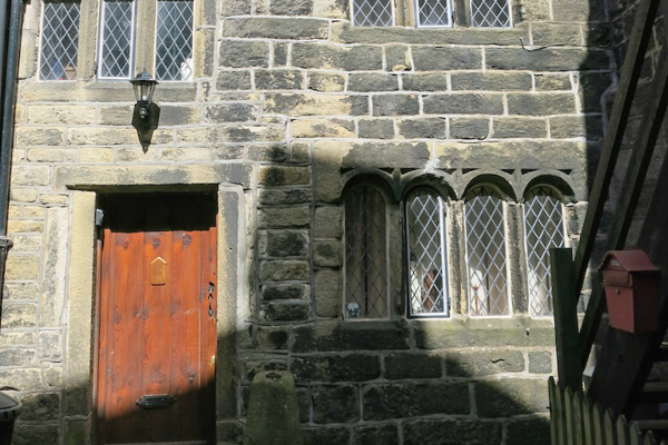
Note the hydro-electric scheme on the right of the bridge. The Flemish-style building beside the bridge, on the left, is the Council Offices and, to its right, the former fire station. The offices were built for Hebden Bridge Urban District Council in 1897 and now house Hebden Royd Council. A pleasant cafe offers a good opportunity for an early coffee break. Note the Ordnance Survey chair.
5. Leaving the Town Hall, walk up Valley Road opposite. Continue past the medical centre and bear right to follow the road which becomes Victoria Road. Follow this to the end and then go right up Grove Road and then left across Hebden Water on Foster Bridge.

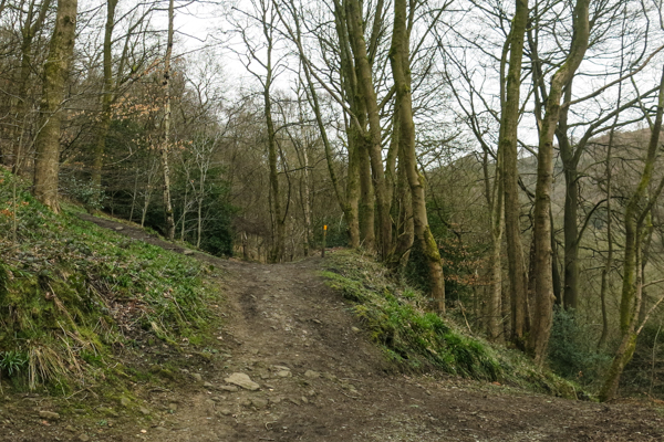
6. Climb the steep cobbled lane (slippery when wet) ahead to a junction. Turn first right to follow a stone path through a group of houses. Keep straight on past a yellow topped post. through the wood, ignoring paths to the left.
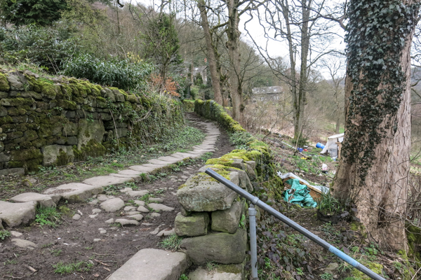
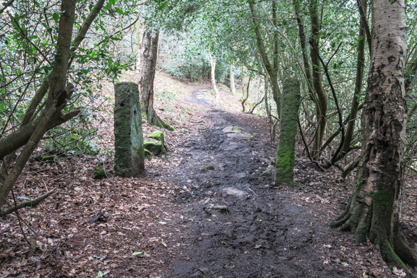
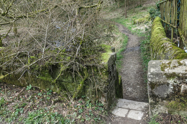
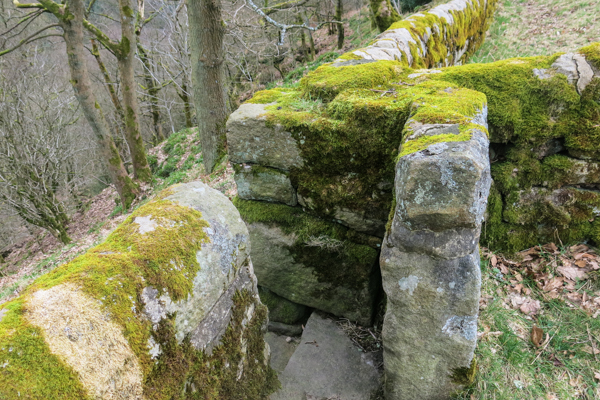
7. After passing some old gateposts, the path descends to a stream. After crossing the stream, join a lane and turn left.
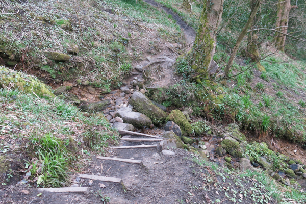
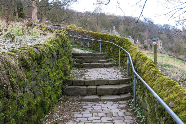
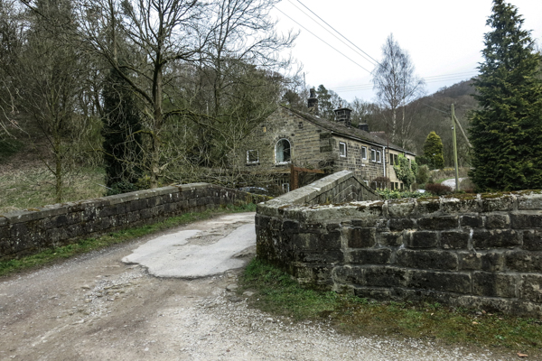
8. Ignore the track on the right and continue uphill, past some modern housing to a tarmac T-junction. Turn left then immediately right up steep stone steps. At the top turn right and then bear right down a rough track to the riverside. Bear left to New Bridge.
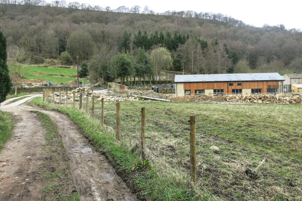
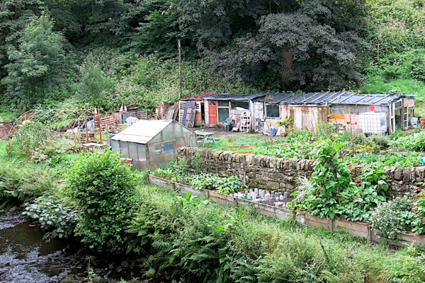
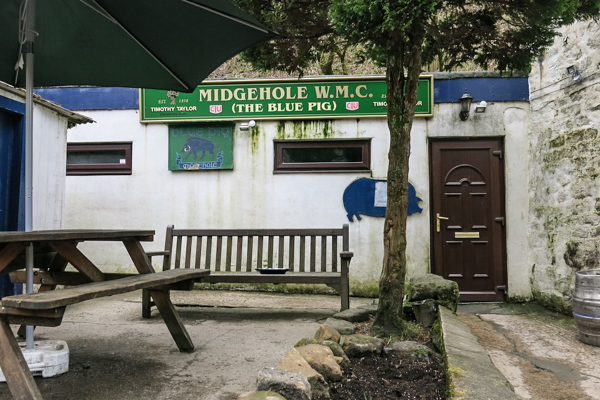
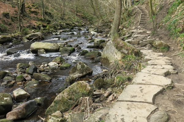
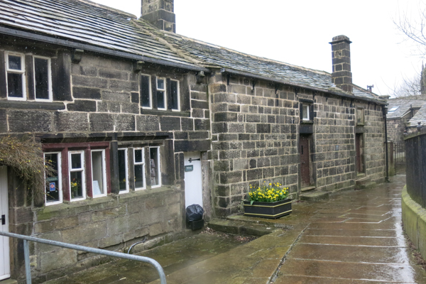
9. Pass the Working Men’s Club (aka the Blue Pig), turn right crossing the bridge then, immediately after the bridge, left through a narrow gap in the wall. Follow the riverside path(s) to Gibson Mill.
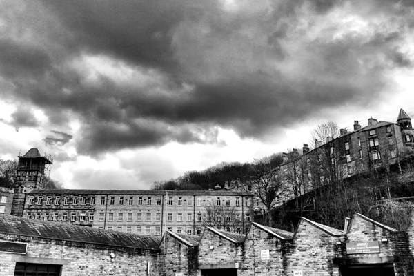
Gibson Mill was first opened as a cotton mill by Abraham Gibson in 1800. Gibson Mill was one of the first generation mills of the Industrial Revolution. The Mill was driven by a water wheel inside and produced cotton cloth up until 1890. In 1833, 21 workers were employed in the building, each working an average 72 hours per week.
The former cotton mill has been turned into a building which is completely self-sufficient.
The National Trust, has been restored and renovated the mill and workers’ cottages to provide a visitor and education centre.
There is a cafe at the Mill.

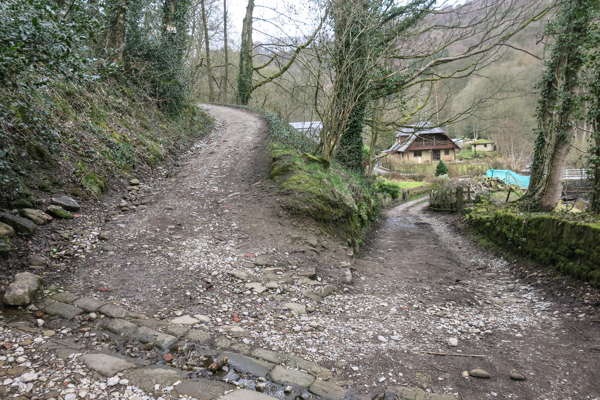
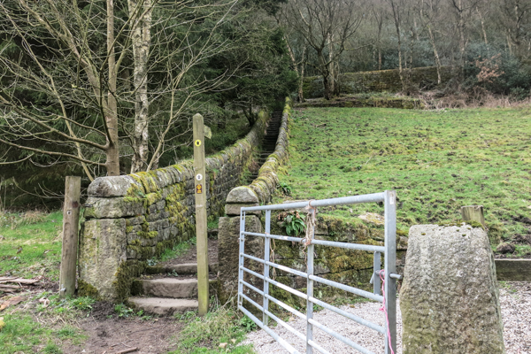
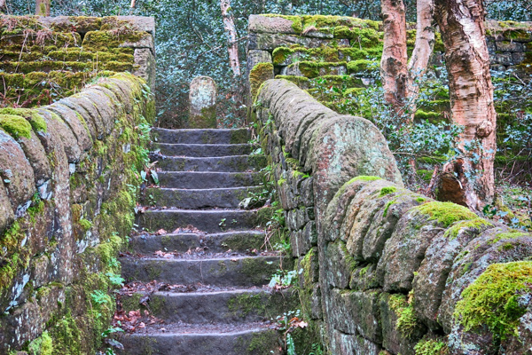
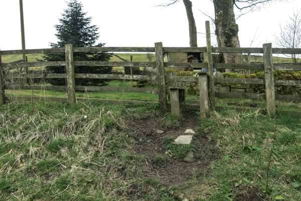
10. Cross the bridge by the Mill and immediately turn left along the lane. Where the lane bends right to Clough Hole Car Park, go straight ahead up the steep stone steps to the gap in the wall above. Follow the wall up through the field and cross a stile to the road.

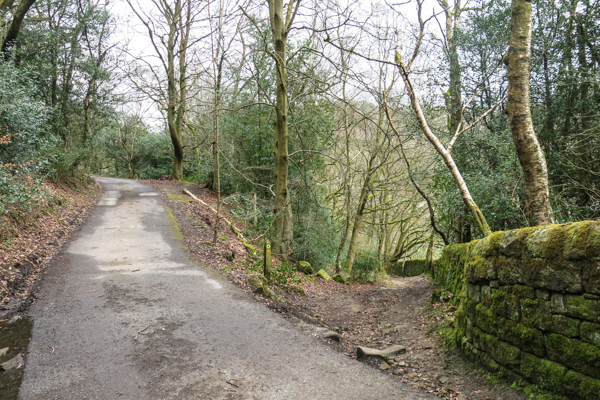
11. Turn left and follow the lane towards Heptonstall.
A road joins the lane from the right. This is the old pack horse route which crossed the Long Causeway to Burnley.
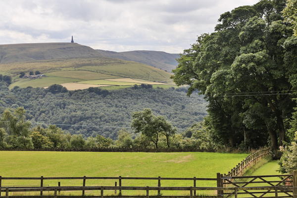
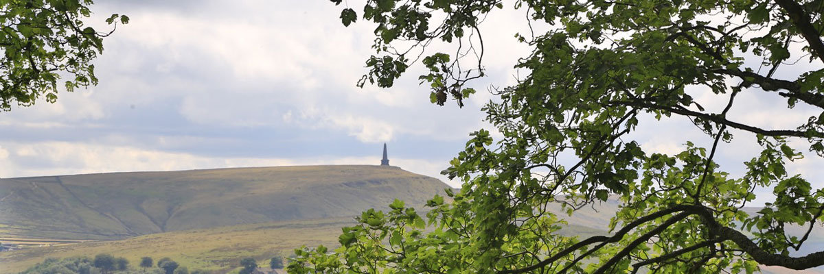
12. After about half a mile pause at the top of the hill, Crown Point, where there are two seats on the right, to view the valley.
Stoodley Pike (built to celebrate the defeat of Napoleon) is on a summit on the on the far side of the valley.

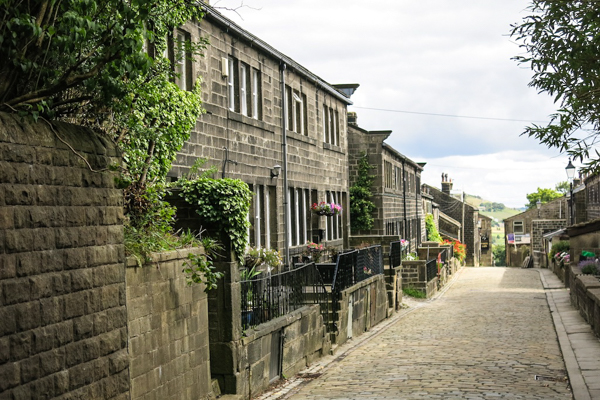
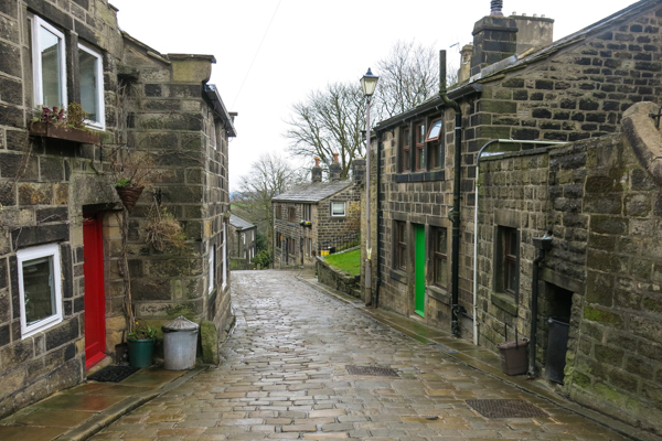
13. Walk down the hill into the village of Heptonstall, passing a school on the left, down Smithwell Lane.
Although not mentioned in the Doomsday Book, a hamlet existed here at that time. The poor quality of the farmland led to the establishment of a dual economy – hill farming and cloth manufacture. As a centre for hand-loom weaving, Heptonstall’s cottages and terraced houses are characterised by large first floor windows to maximise the light for weaving. The population grew to 4000. Today it is 900. Heptonstall was the site of a battle during the early part of the English Civil War in 1643.
Heptonstall’s commercial success declined in the late 18th century, as water and later steam powered mills in the valleys, especially at Hebden Bridge, took their trade. The village declined slowly but was remarkably well-preserved. In 1970 its charms were discovered by “off-comers” and it began to grow again. Some new housing brought a new population which, along with visitors, helps to keep the shops, pubs, and school in business.
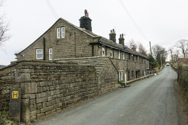
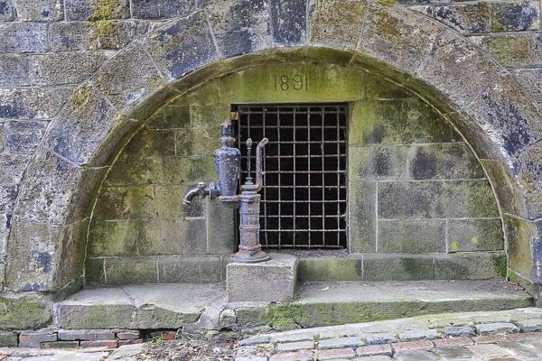
Below the school, well-restored cottages line both sides of Smithwell Lane. Note the Village Pump on the right and just beyond that also on the right, a row of handloom weavers cottages (1800) in the narrow Silver Street.
14. Just beyond the junction with Downfield Lane on the left, turn right into Weavers’ Square.
The Square was designed by a local architect in 1967 as a “museum of stone” using a variety of reclaimed and natural materials. On Good Friday, this is the site of the Pace Egg Play, enacted by local people. Its characters include Bold Slasher, Toss Pot and the Prince of Paradise.


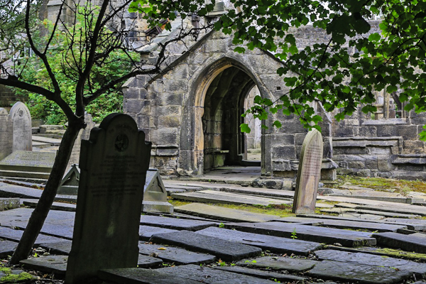
15. Walk through the square and exit to the right and then turn left to walk between cottages. Enter the churchyard by the West gate.
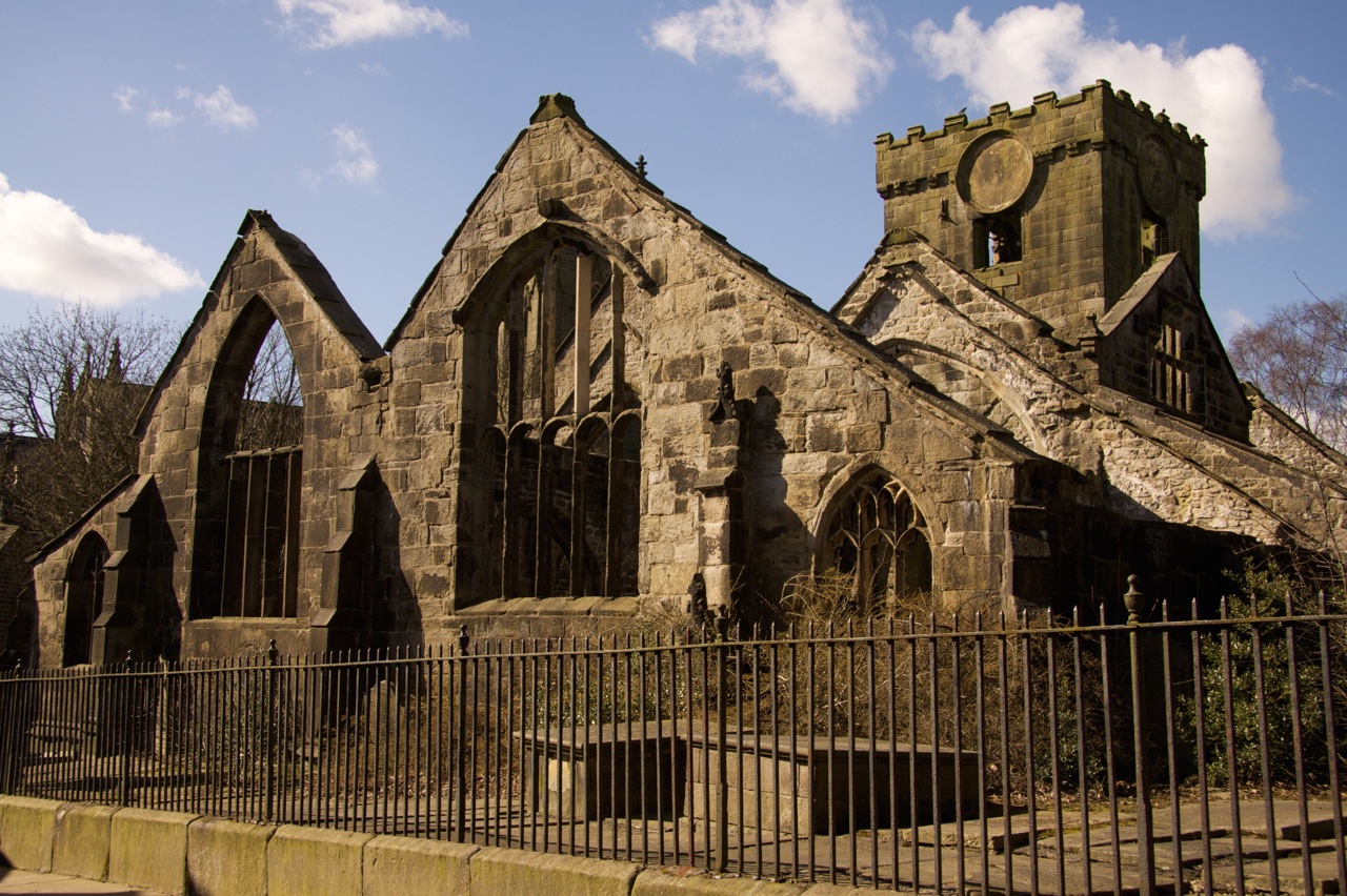
You are now in an unusual churchyard with two churches. To the left, the ruin of Heptonstall’s original church, dedicated to St Thomas a Becket and founded c.1260. The church was damaged by a gale in 1847 and is now only a shell. To the right is a newer church, St Thomas the Apostle, was built in the same churchyard.
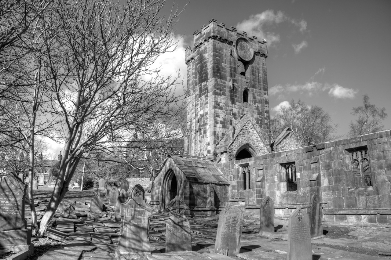
16. You are now in an unusual churchyard with two churches. To the left, the ruin of Heptonstall’s original church, dedicated to St Thomas Becket and founded c.1260. The church was damaged by a gale in 1847 and is now only a shell. To the right is a newer church, St Thomas the Apostle, was built in the same churchyard.
On the left is the Pinnacle, dislodged from the roof by a lightning strike in 1875 and later reassembled here.
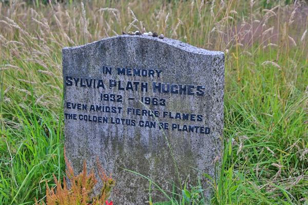
17. Continue around the church and leave the yard by the South gate. You are now in the New Graveyard, opened in 1911. Follow the worn path which bears slightly right across the grass, passing the first group of graves. Continue on that line to find the grave of American poet, Sylvia Plath.
Plath was married to local poet, and later Poet Laureate, Ted Hughes and several times visited his parents who lived in Heptonstall. Having suffered from depression for many years and after 5 months separation from Hughes, she killed herself in London. Plath’s gravestone bears the inscription that Hughes chose for her: “Even amidst fierce flames the golden lotus can be planted.”
The gravestone has been repeatedly vandalised by those aggrieved that “Hughes” is written on the stone; they have attempted to chisel it off, leaving only the name “Sylvia Plath.” When Hughes’ partner Assia Wevill killed herself and their four-year-old daughter Shura in 1969, this practice intensified. After each defacement, Hughes had the damaged stone removed, sometimes leaving the site unmarked during repair. Outraged mourners accused Hughes in the media of dishonouring her name by removing the stone.
18. Walk back to the new church, passing through it via the main door and the other door opposite if possible or return past the Pinnacle if not. Enter the old churchyard, which is reputed to contain the remains of over 100,000 people.
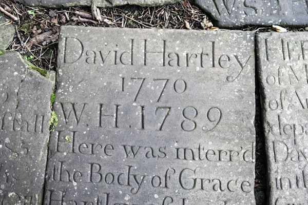
The older churchyard claims “King” David Hartley amongst notable graves there. Hartley was founder of the Cragg Coiners and lived in the Calderdale area until he was hanged at Tyburn near York in 1770. The Coiners obtained real coins from publicans, sometimes on the promise that they could “grow” the investment by smelting the original metals with base ores. They removed the coins’ genuine edges and milled them again, collecting the shavings. The coins were only slightly smaller. They then melted down the shavings to produce counterfeits. Designs were punched into the blank “coins” with a hammer and a “coining kit”. The Coiners then had their accomplices place the fakes into circulation. Most of the counterfeit coins had French, Spanish or Portuguese designs.
19. To find “King” David Hartley’s grave walk to the porch of the old church. From there count 12 stone slabs directly forward from the church. Then cross two slabs to the left.
20. Leave the old churchyard by the gate and turn left along a narrow lane.
On the right is the Old Grammar School, opened in 1642 and which continued as a school until 1889. It became a branch of the Yorkshire Penny Bank in 1898. The bank closed in 1954. It is now a museum (open Saturdays.)
21. Walk through the Great North Gate out on to Towngate.
On the left is the Cloth Hall, a market from 1545, where weavers’ “pieces” of cloth were sold to merchants from places such as Colne and Halifax. Its trade declined over the centuries, as more and more trade moved to Halifax, culminating on the opening there of the Piece Hall in 1777.
22. Note, and perhaps visit, the White Lion.
There has been a pub of that name on this site since 1769 and possibly earlier.
23. From the pub, turn left down Towngate and almost immediately left into Northgate.
On the left is New House. It bears an ornate stone, thought to show the Quakers who lived there in 1736 – Henry and Elizabeth Foster. In 1970 Quakers in Washington DC held a huge spring fair with twelve feet high cities of these figures alongside all main highways.
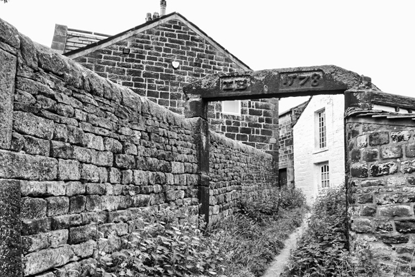
Further along on the left is a lane on the left spanned by a high stone lintel. The building through the archway to the left is Whitehall, built in 1578. For many generations it was owned by the Bentley family, one of whom – Sir Richard Bentley (1661 – 1741) is still said by many experts to be the most brilliant classical scholar England has ever produced.

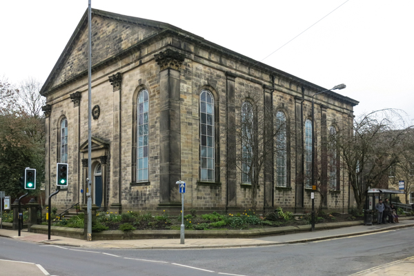
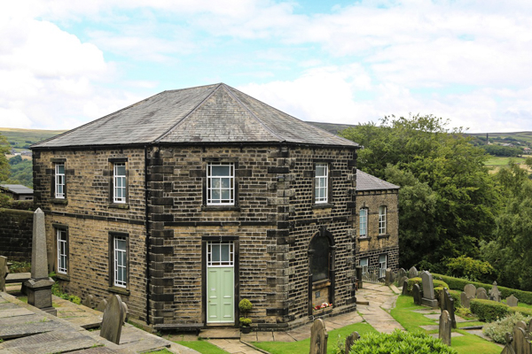
24. Turn right from Northgate and walk down the steps to the octagonal Methodist chapel.
Built in 1764, it is the oldest Methodist chapel still in continued use. Its design is said to have been intended to prevent the devil hiding in the corners of the chapel.
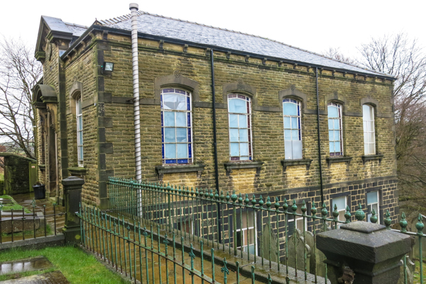
25. Walk around to the right of the chapel and past the substantial Sunday School on your right. Through a small doorway, turn right down Tinker Bank Lane. At the foot of the Sunday School turn right, passing a small walled enclosure, the Pinfold.
The Pinfold was a place where stray cattle, sheep, goats, horses etc were impounded until the owner paid a fine for their release to the Pinder.
26. Walk to the far end of the car park.
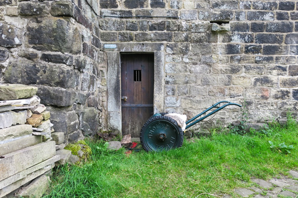
The tall, curved wall used to enclose a brewhouse. The small door at its foot was a dungeon, used to remand drunks and petty criminals.
27. Continue out of the car park, passing the Great Well on the right. Our route back to Hebden Bridge goes down the hill to the left. Before taking that, walk up the hill to the right. On the right is the Old Cooperative Building. Walk around the building to the right and down into a small yard, Stag Fold.
Stag Fold contains the village’s oldest house – Stag Cottage (c.1580).
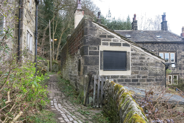
28. Walk back around the Coop building and down the hill, past more attractive stone buildings. After a junction on the right, about 100 metres down the hill, just past a bus stop, turn right into a narrow lane and follow a footpath along the front of a terrace of cottages and straight out at the far end following a yellow footpath sign.
29. Follow a part-enclosed path, with some fine views down to Hebden Bridge far below until it ends at a junction of paths near a small quarry. Turn left down a lane past two houses and then out on to a road, with a fine milepost on a sharp junction.


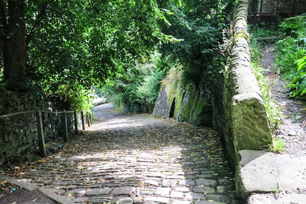
30. Cross the road and walk left along the footpath and then turn sharp right on to a steep cobbled path. This leads all the way down into Hebden Bridge, becoming The Buttress.
The Old Bridge was built in 1510, with money raised from local collections and benefactors. Earlier bridges here were wooden. The packhorses carried lime, coal, cloth and wool. The small triangular alcoves were to shelter pedestrians as herds of animals crossed the bridge.
31. Cross the bridge.
32. At the far side of the Bridge turn right along Bridge Gate. At the main road turn left and walk back to the Tourist Information Centre where the walk began.