Superlative Walks
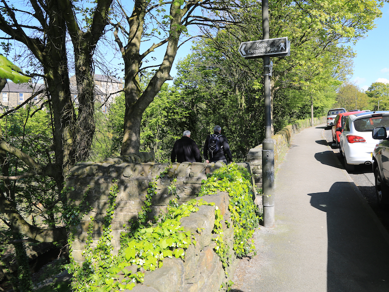
Urban and rural trails, each with something very specialNew Mills
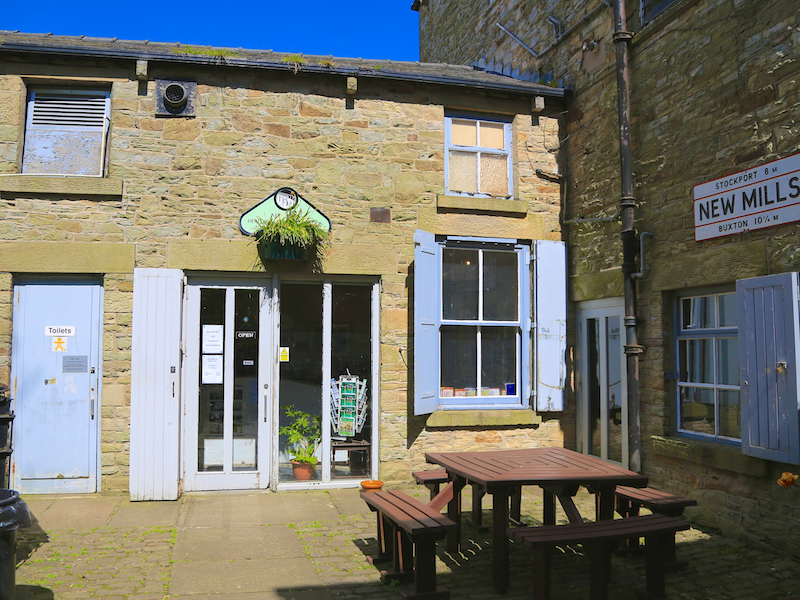
The walk starts at the New Mills Heritage and Information Centre on Rock Mill Lane ,SK22 3BN, a short walk from the railway station and the car parks. The centre is well worth a visit.
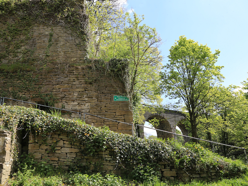
New Mills (pop. 10,000) stands above the Torrs, a 70 feet deep gorge, cut through Woodhead Hill Sandstone. New Mills was first noted for coal mining, and then for cotton spinning and then bleaching and calico printing. New Mills was served by the Peak Forest Canal, three railway lines and the A6 trunk road. New Mills was known as a stronghold of Methodism
1. Come out of the Visitor Centre onto Rock Mill Lane, go right and then turn right and go down Union Rd.
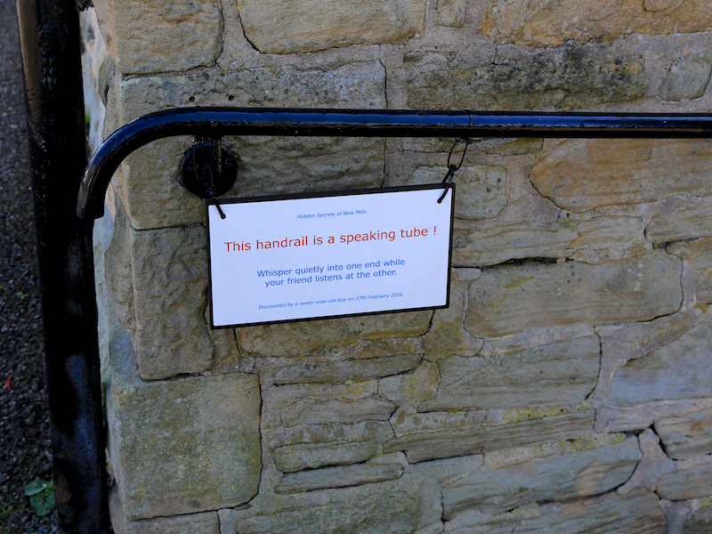
The speaking tube, a local curiosity can be found and tested outside the Information Centre. It was discovered by a local school boy and is now rightly heading towards celebrity status.
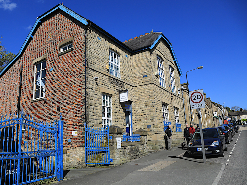
The office of the Plain English Campaign is on the right half-way way down Union Rd In 1990, PEC created the Crystal Mark, its seal of approval. This is a symbol printed on documents that it considers to be as clear as possible for the intended audience. The symbol appears on over 20,000 documents worldwide. They also give out the annual Foot in Mouth Award for “a baffling comment by a public figure” and the Golden Bull Award for “the worst examples of written tripe”. Notable winners of the Foot in Mouth Award include Donald Trump, George W. Bush, Gordon Brown, Richard Gere, and Donald Rumsfeld. One of the authors of this website was awarded a Golden Bull Award.
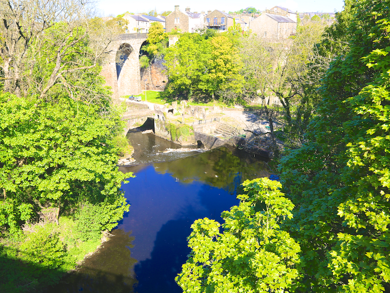
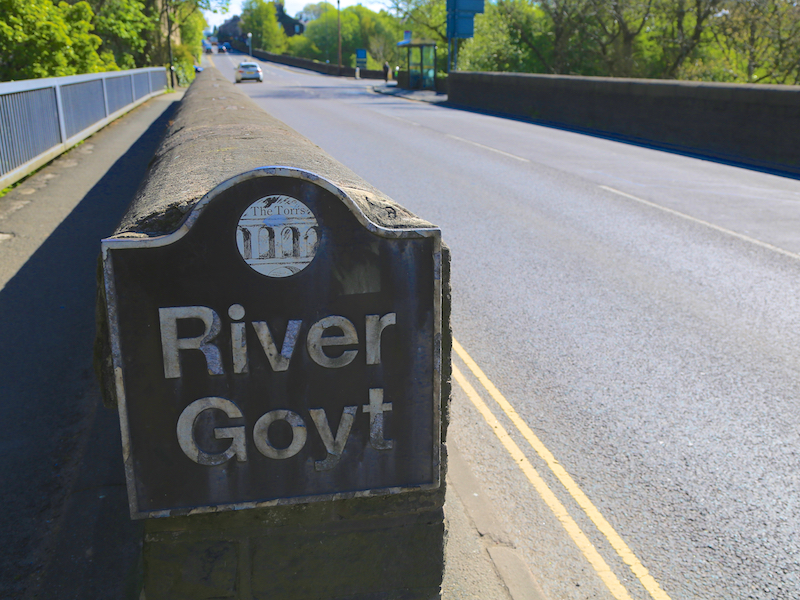
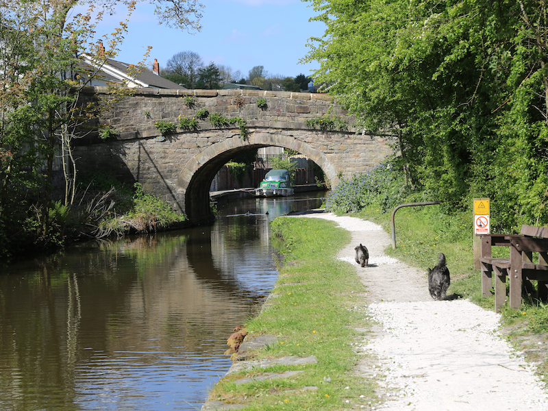
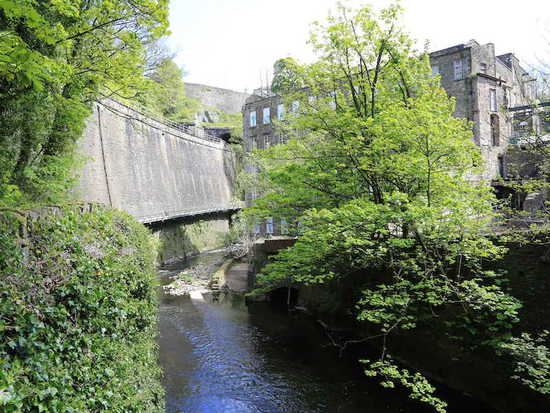
2. Walk down Union Road, crossing the viaduct over the River Goyt
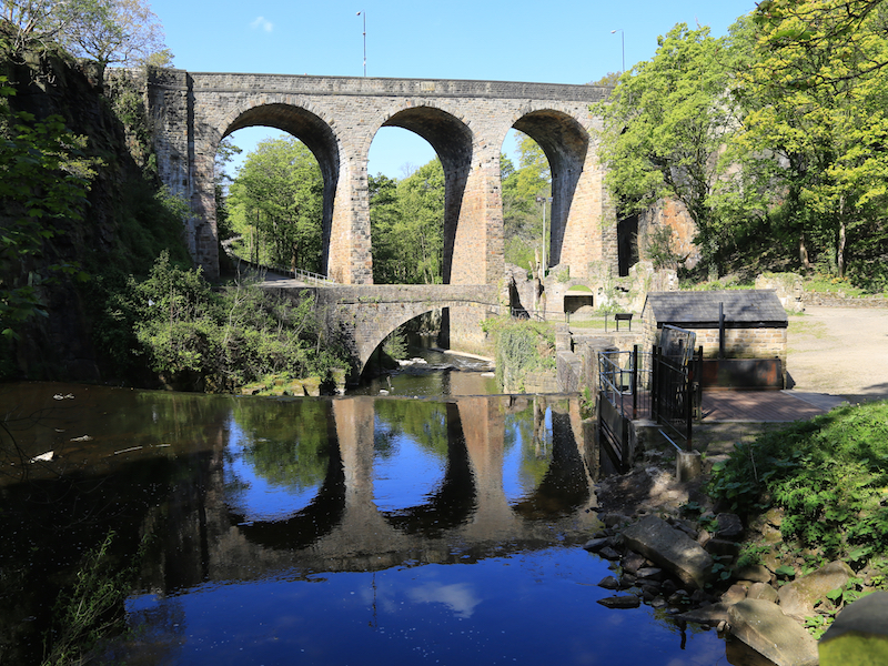
Before the construction of the high-level bridges the Torrs was a major obstacle; traffic had to descend 70 feet to cross the River Goyt and then climb the same height on the other bank. The first bridge to be constructed was the Queen’s Bridge on Church Road. The Union Road bridge was built in 1884 obtaining the land was difficult, as the arches needed to pass close to Torr Mill and properties on the Cheshire (south) bank, and Torr Top Hall had to be demolished. The new road was named after the ‘union’ of the two halves of the town.
3. At the T- junction of Albion Road, Church Road and Union Road, take the first left up Hyde Bank Road and after 100 yards take the path left down to the river valley.
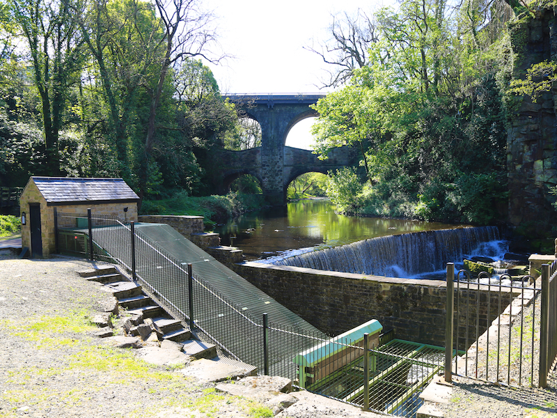
On the banks of the River Goyt you will see the hydro scheme.Torrs Hydro is a micro hydroelectric scheme, owned by the community, in New Mills, Derbyshire. It is located on the River Goyt, immediately after its confluence with the River Sett at the Torr weir. Archie, a 2.4-metre diameter steel trough screw turbine generates up to 63 kW of electricity. Torr Mill burnt down in 1912. The screw weighs 11 tonnes. Torrs Hydro has an agreement to sell its electricity to The Co-operative Group which uses it to power its businesses, including its Co-op Food branch in New Mills.
Torrs Hydro is the UK’s first community owned and funded hydro-electric scheme. Torrs Hydro, is a cooperative set up for the benefit of the community that funded the project through grants, a bank loan and the sale of shares. The scheme sold £125,000 of shares and this money enabled them to build Archie, a reverse Archimedean screw.
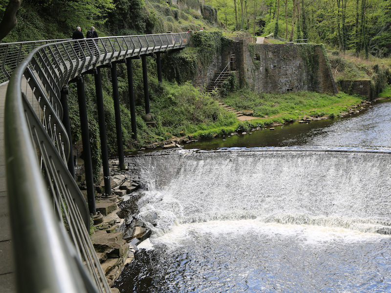
Torr Weir was built across the Goyt, to provide a head for the Torr Mill which occupied the same site.
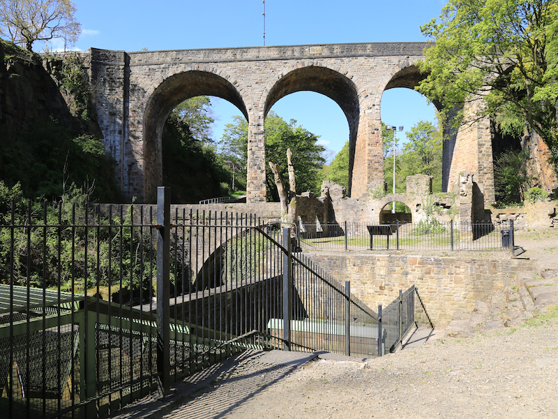
Exploring further downstream you will see well-known local rock-climbing walls, and, unusually, a bolted climb on the viaduct itself.
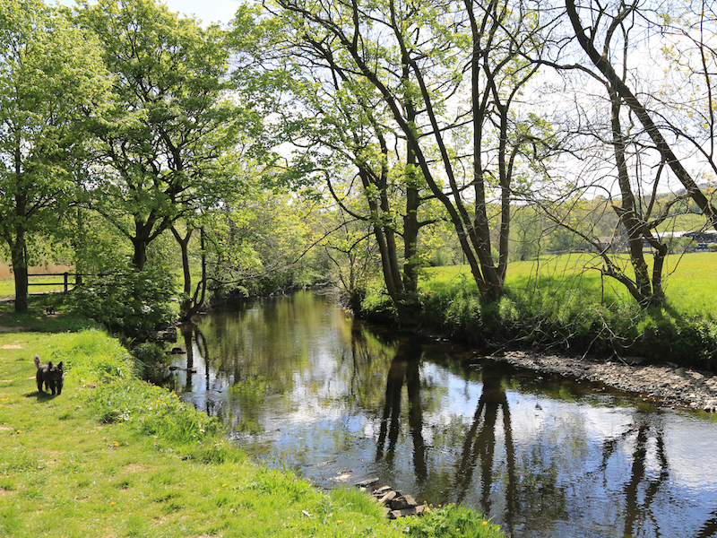
4. Return to the Hydro and turn left along the river Goyt, walking upstream to find a path turning right by Goyt Side Farm .
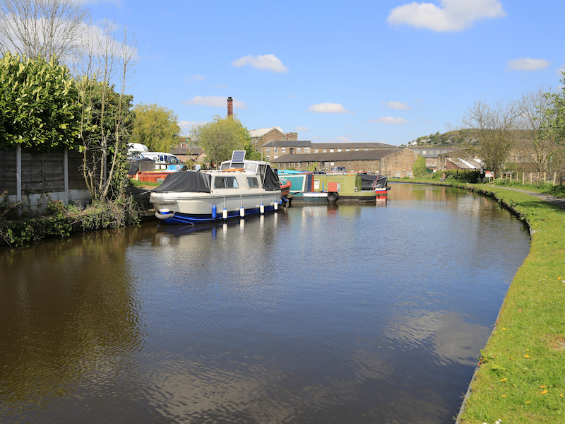
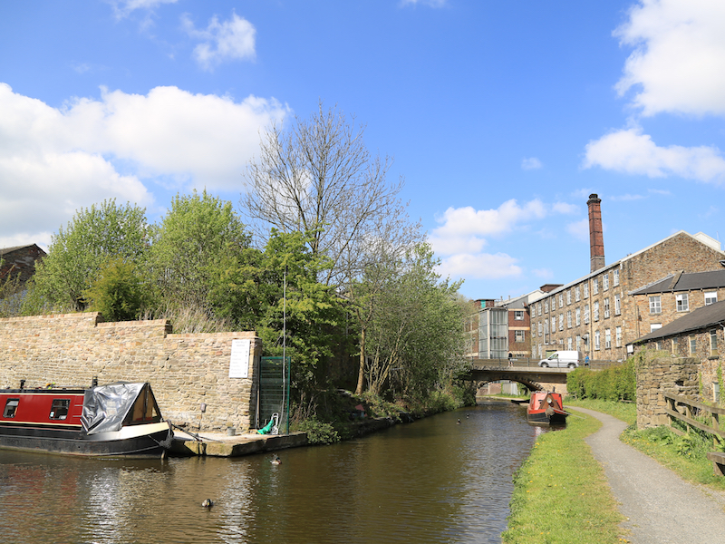
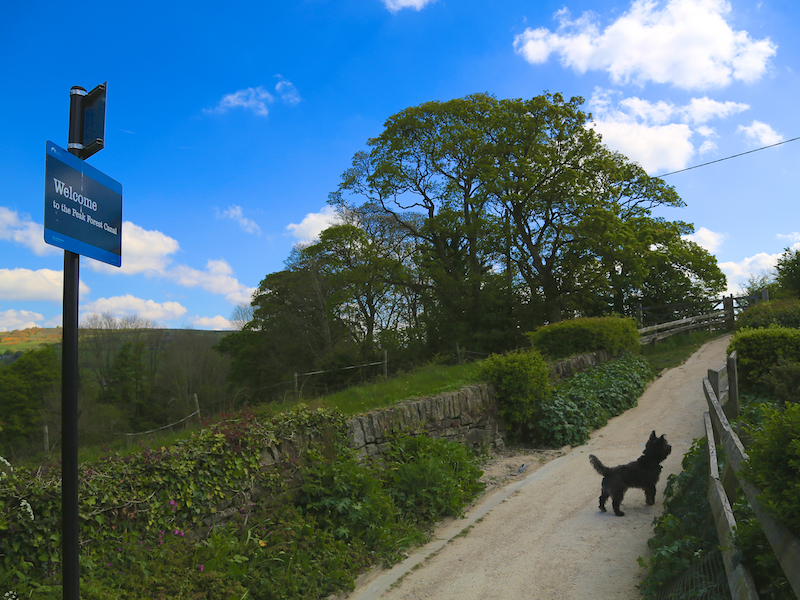
5. Follow the path to small bridge crossing the river got it and continue on the far bank for a further half a mile until you reach the bank of the Peak Forest Canal. Turn right along the canal and follow the path.
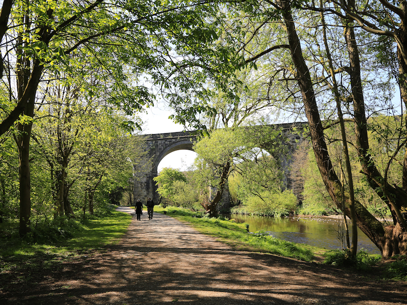
The Upper Peak Forest Canal is on the same level as that of the upper Macclesfield Canal, allowing boats to cruise from Whaley Bridge or Bugsworth all the way to the top lock at Bosley without having to use a lock. The canal is perched halfway up the valley-side with extensive views of Furness Vale, and the Peak District beyond from Marple through Strines, Disley, New Mills, Furness Vale and Bridgemont. It terminates at Bugsworth Basin, Derbyshire a distance of 6.9 miles. The village was renamed Buxworth in Victorian times. Recently, the extensive basin has been reopened, and is now a popular venue for visiting boats. There is also a short branch from Bridgemont to the centre of Whaley Bridge, once the site of a connection to the Cromford and High Peak Railway, which ran across the Peak District and joined up with the Cromford Canal.
6 Continue under the Albion Road Bridge, with New Mills and the Swizzles Sweets Factory on your right.
Swizzles Sweets, founded in 1928 is one of the longest running sweet factories in the world. Redundant mills were bought up in the mid-twentieth century by a children’s sweet manufacturer, Swizzels Matlow, famous for Love Hearts and Drumsticks.
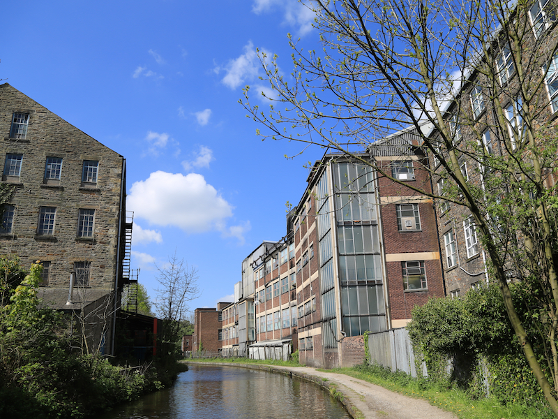
7. Follow the path under bridge 27. Continue along the canal towpath with a factory to your left.
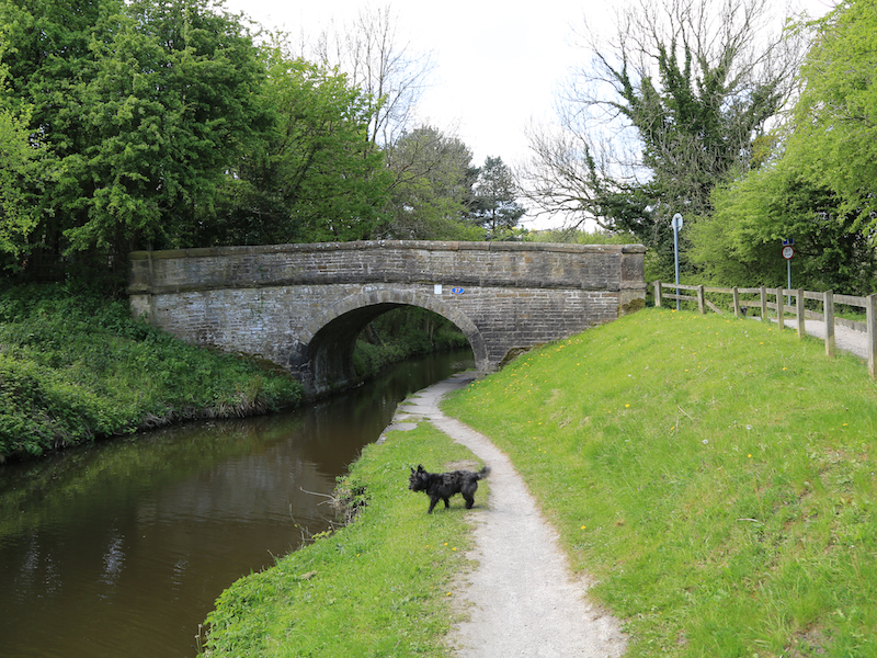
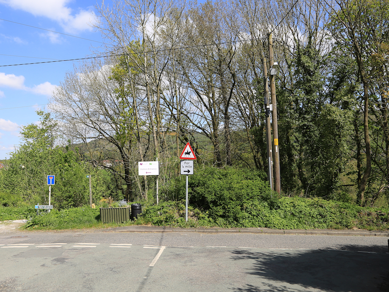
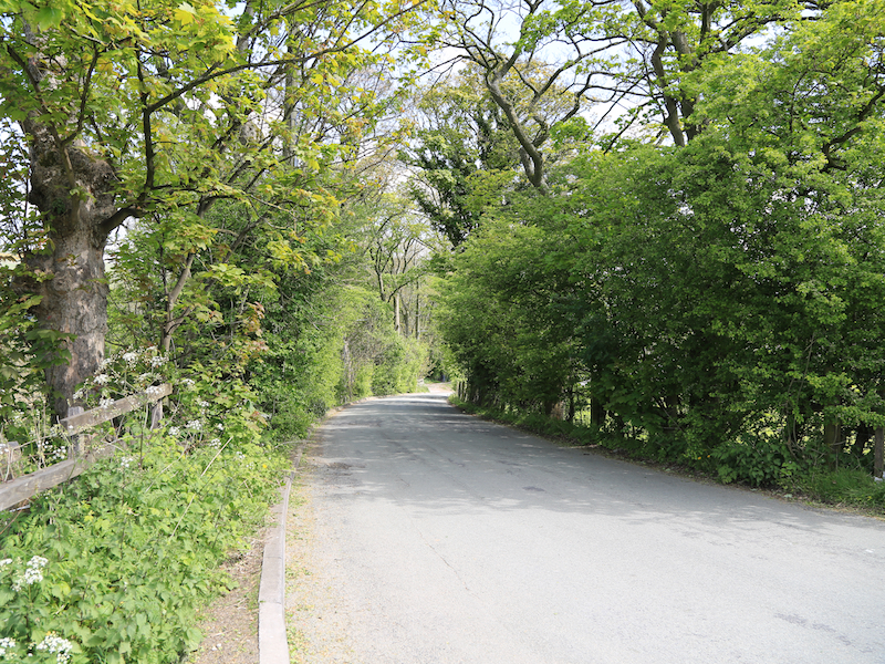
8 . At bridge 26 turn right down Redhouse lane, under the railway bridge and right along Waterside Lane, descending to the River Goyt at the valley bottom.
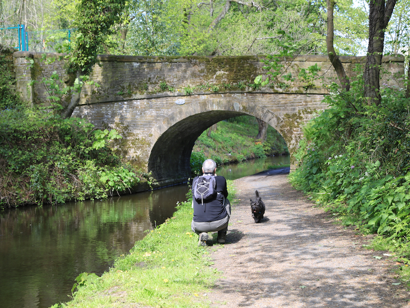
9. Follow Waterside Rd crossing the river by a stone bridge. As the road turns left and heads uphill, turn right into the Torrs Riverside Park at the Hague picnic site.
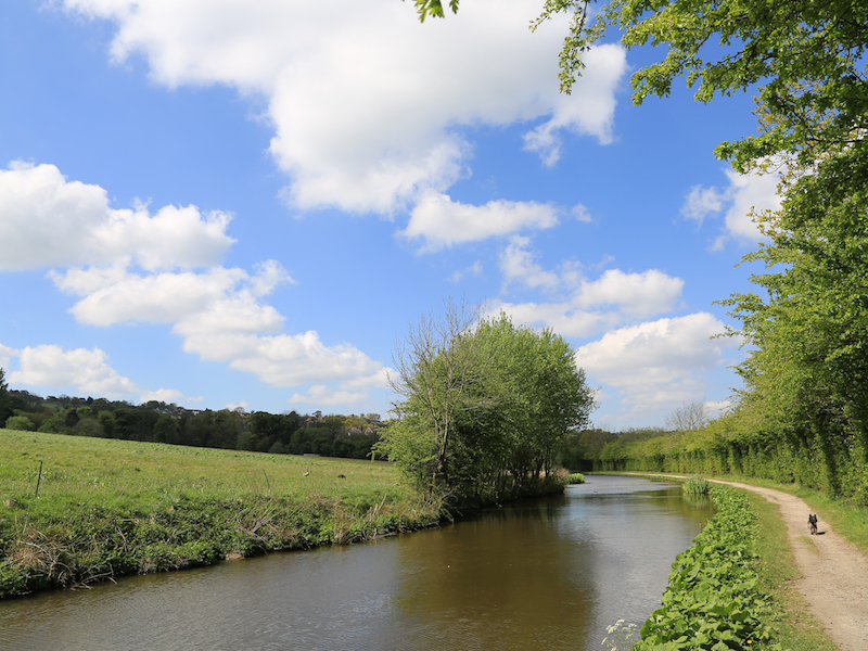
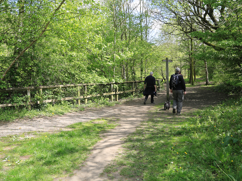
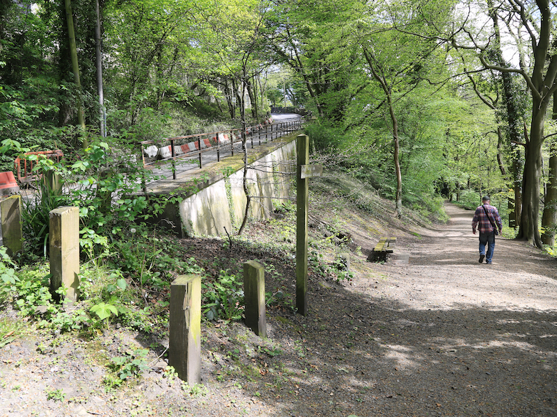
10. Make your way through the park by one of the many paths, always with the river Goyt to the right.
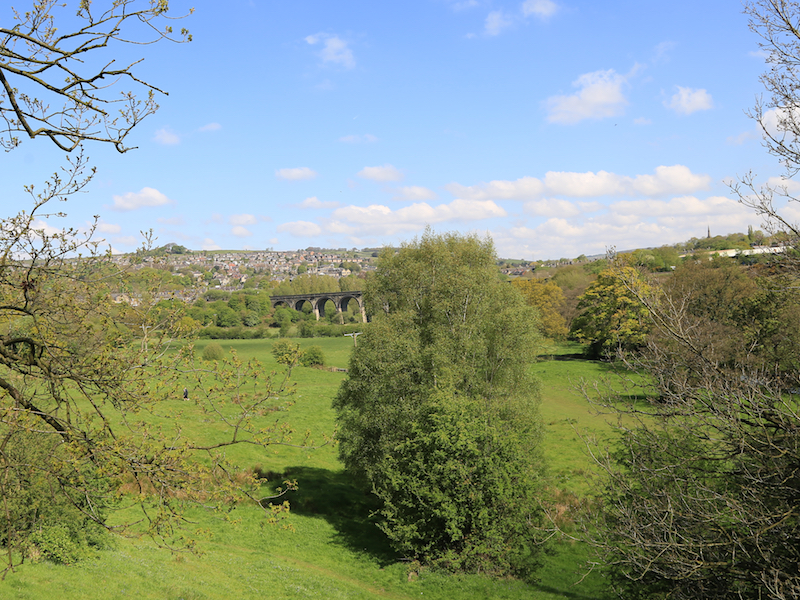
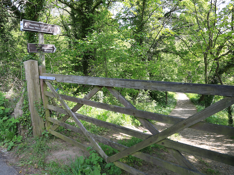
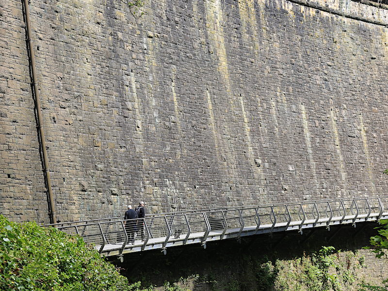
11. After about a mile, the paths will join Station Rd. Take the path through the woods to the right where the road heads up hill, with a mental fence to its right and follow the Path to the start of the Millennium Walkway.
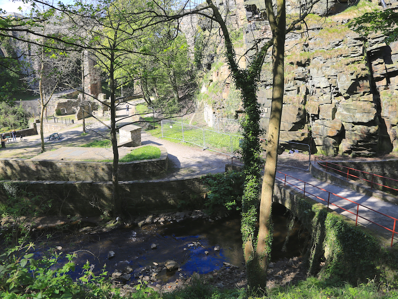
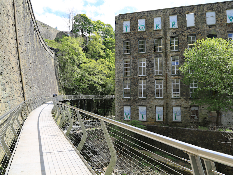
The Torrs Millennium Walkway, overlooking the mill, was built at a cost of £525,000 (almost half from the Millennium Commission) by Derbyshire County Council’s in-house engineers. The walkway spans the otherwise inaccessible cliff wall above the River Goyt. Part rises from the riverbed on stilts and part is cantilevered off the railway retaining wall. It provided the final link in the 225-mile (362 km) Midshires Way and was opened in April 2000.
12. Continue along the Walkway past Torr Vale Mill on the right to the end of the cantilevered stretch of footpath, above a weir.
The grade ii Listed mill was built in the late 1780’s by Daniel Strafford and was known as Stratford’s mill. It was powered by two waterwheels to spin and weave cotton until it was rebuilt in 1856 when a steam engine was added. It continued to be driven by steam and water until the 1940’s when electricity took over. Finally after 210 years of continuous textile production, the mill closed its doors in December 2000. Sadly Torr Vale Mill fell victim to trespassers causing a great deal of damage, the worst of which was a fire destroying one of the buildings in 2001. The current owners claim to have new and exciting plans for the mill.
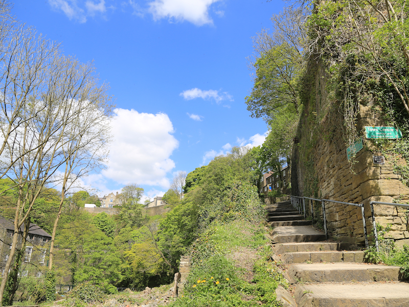
13. Follow the signed path to the Town Centre, up steps, to return to the walk’s starting point at the Visitor Centre.
There are fine views down into the Goyt River gorge from the stepped path.