Superlative Walks
Urban and rural trails, each with something very specialSTOCKPORT
This walk starts at Stockport Railway Station, visits a number of interesting buildings in the Town Centre before looping round Reddish Vale and taking in the Dodge Hill Conservation Area and the source of the River Mersey before re-crossing the Town Centre and returning to the Station.
Stockport lies on elevated ground 7 miles (11 km) south-east of Manchester city centre, where the rivers Goyt and Tame merge to create the River Mersey. Stockport is the largest settlement in the metropolitan borough of the same name.
Stockport in the 16th century was a small town entirely on the south bank of the Mersey, and known for the cultivation of hemp and rope manufacture. In the 18th century the town had one of the first mechanised silk factories in the British Isles. However, Stockport’s predominant industries of the 19th century were the cotton and allied industries. Stockport was also at the centre of the country’s hatting industry, which by 1884 was exporting more than six million hats a year; the last hat works in Stockport closed in 1997.
Since the start of the 20th century Stockport has moved away from being a town dependent on cotton and its allied industries to one with a varied base.
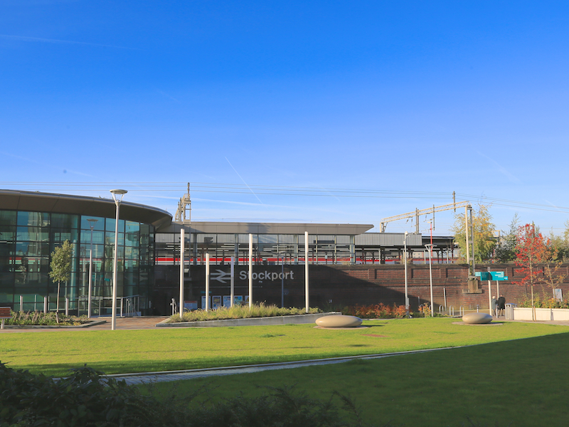
1. Start at Stockport railway station, where there is ample car parking.
The station was opened on 15 February 1843, by the Manchester and Birmingham Railway, following completion of the large railway viaduct just to the north. After operation by the London and North Western Railway, it became part of the London Midland and Scottish Railway in 1923.
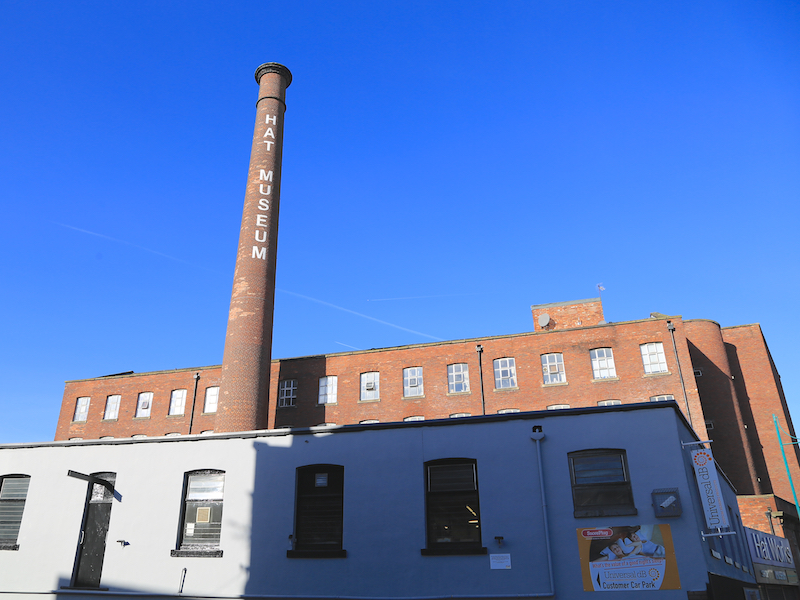
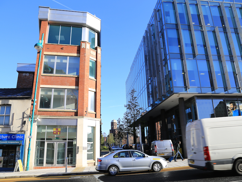
2. From the station, go between the new office and hotel buildings towards Wellington Road South, the busy A6 that runs through Stockport on its way to Manchester. Follow the A6 downhill for 200m where you will find The Hat Museum on your left in a former Hat Mill.
Visits to the Hat Museum are free, and, for a small payment, there are tours and demonstrations of the art of hat making. Hat making was established in north Cheshire and south-east Lancashire by the 16th century. In the early 19th century the number of hatters in the area began to increase, and a reputation for quality work was created. The London firm of Miller Christy bought out a local firm in 1826, a move described by Arrowsmith as a “watershed”. By the latter part of the century hatting had changed from a manual to a mechanised process, and was one of Stockport’s primary employers; the area, with nearby Denton, was the leading national centre. Support industries, such as blockmaking, trimmings, and leatherware, became established.

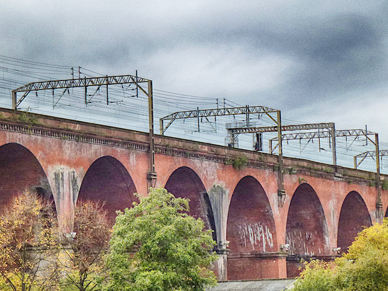
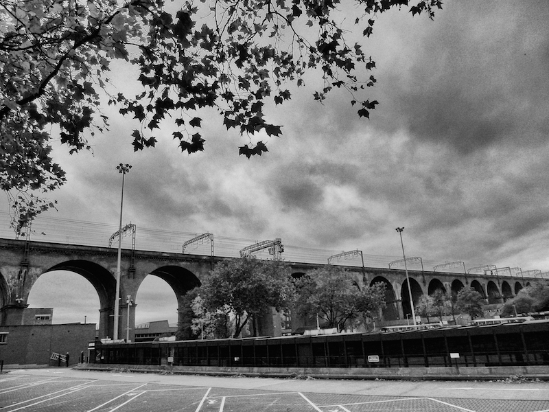
3. Leave the museum, and walk briefly downhill to see Stockport viaduct on the left.
The viaduct is the largest brick structure in western Europe, designed by George Watson Buck for the Manchester and Birmingham Railway and completed in 1840. The viaduct is 33.85 metres high. At the time of its construction it was the largest viaduct in the world, a major feat of Victorian engineering and a key pioneering structure of the railway age. It is currently a Grade II* listed building. The 27-arch viaduct took 21 months to build and cost £70,000. 11,000,000 bricks were used in its construction.
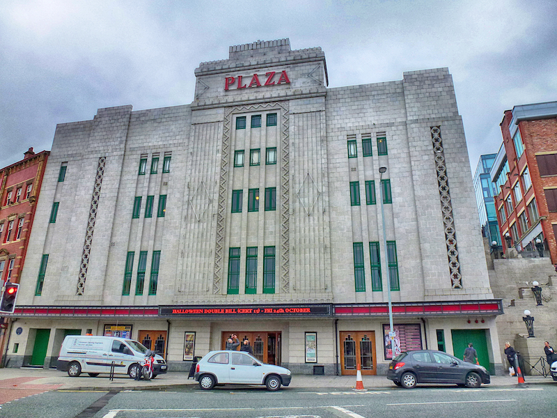
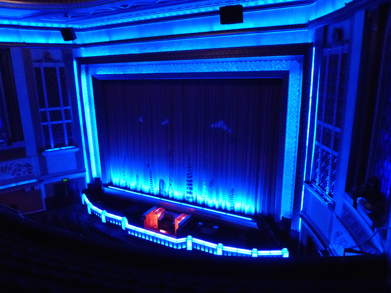
4. Cross the A6 and opposite the Hat Museum walk down the pedestrianised stretch of Hooper St, turning left at the end of the paved area. Take the flight of steps ahead of you with the red brick of the Plaza Cinema on your right.
A visit to the cinema is recommended, as is a coffee or afternoon tea in the restored, art deco tea rooms on the 5th floor. The Plaza first opened its doors to the public on 7th October 1932, with a charity show for Stockport Infirmary. The films shown were “Jailbird”, starring Laurel and Hardy, and “Out of the Blue” with Gene Gerrard and Jessie Matthews. The Plaza began a programme of entertainment never seen before in Stockport with a mix of cinema and live performance. Shows included a silent newsreel, accompanied by The Plaza Orchestra, featuring the Compton organ played by resident organist, Mr Cecil Chadwick.
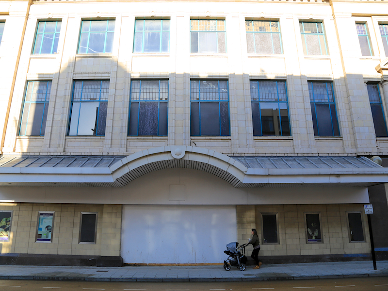
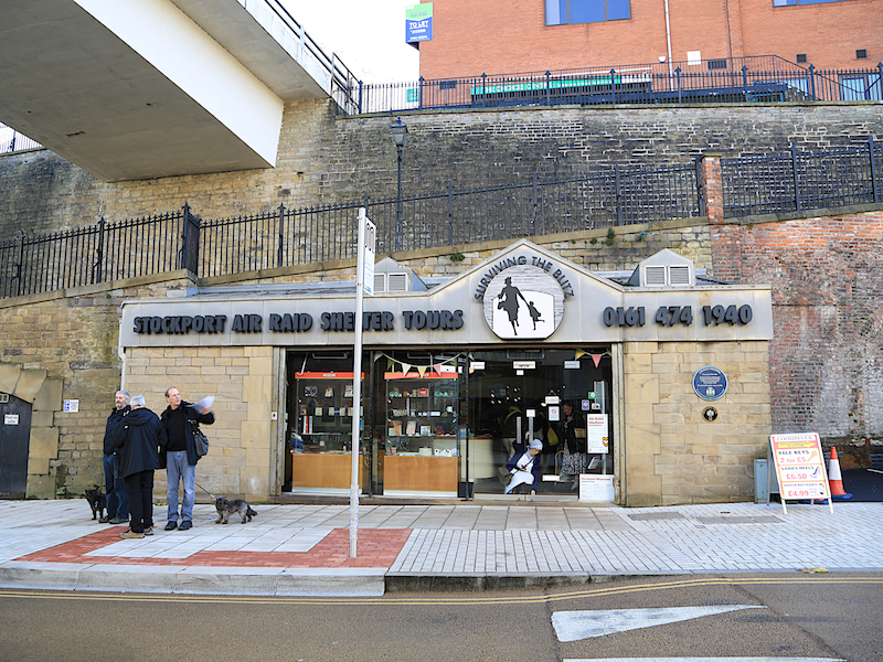
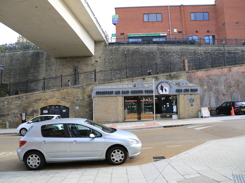
5. Leave the Plaza, continue along Chestergate, which is the lower of the two roads to the right, noting the fine art deco department store, now cruelly incorporated into the horrendous 1960s Merseyway shopping precinct. On the right are the Air Raid Shelters.
The Stockport Air Raid Shelters, opened on 28 October 1939, are a system of almost 1 mile of underground air-raid shelters dug under Stockport during World War II. Four sets of shelter tunnels for civilian use were dug into the red sandstone rock below the town centre, designed to provide for up to 6,500 people.
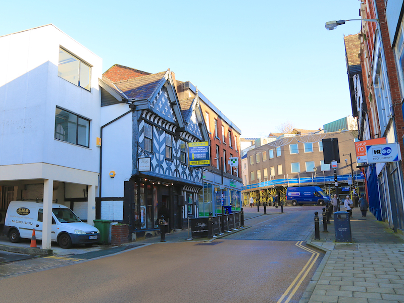
6. Continue along Chestergate, noting Huffy’s, on your left.
Formerly the Three Shires, this Cheshire half-timbered town-house dating from 1580, was originally a home to the Legh family of Adlington.
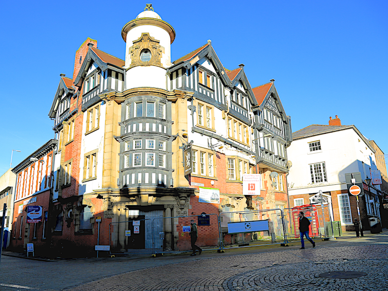
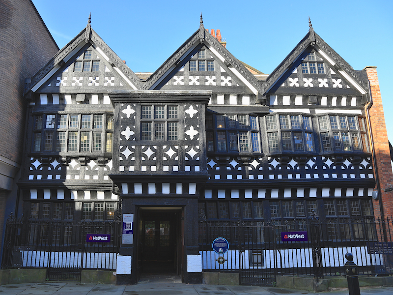
7. Continue to the intersection of Chestergate, Little Underbank and Great Underbank, noting the White Lion Pub at the junction. Take a short trip up Great Underbank to see, and perhaps enter, the extraordinary Natwest Bank, formerly Underbank Hall.
Underbank Hall is a late 15th century town house and is a Grade II* listed building. It was home of the Arden family of Bredbury until 1823 when it was sold by William Arden, 2nd Baron Alvanley to pay off debts, and became a bank.
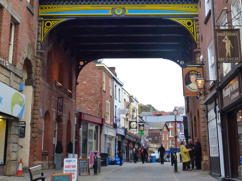
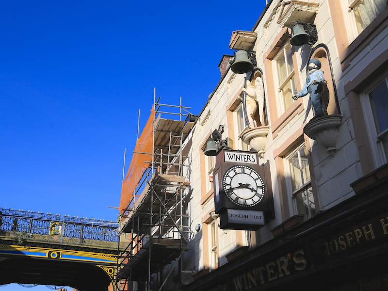
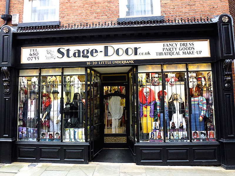
8. Return to the White Lion and turn left, and go up Little Underbank, as far as its junction with Mealhouse Brow.
Note the range of independent shops, quirky cafes and the magnificent clock (chiming every hour) outside the pub Winter’s. You can go inside the pub and upstairs to see the workings of the clock.
9. Turn left at Mealhouse Brow which brings you out in Stockport’s Market Place.
At the top of Mealhouse Brow is the former dungeon and court leet, now a shop.
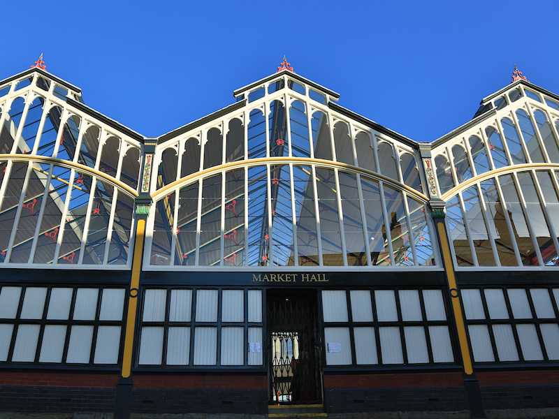
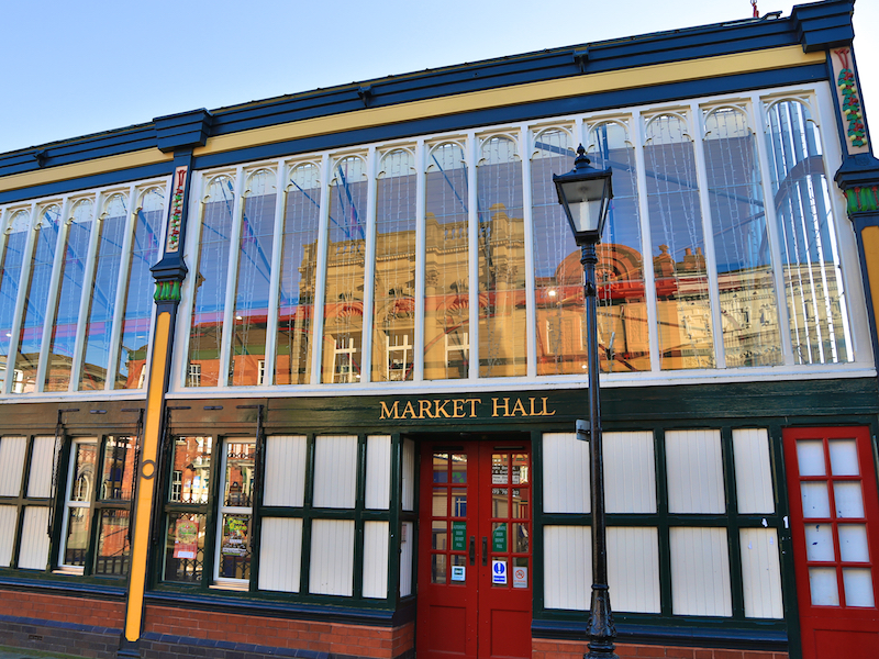
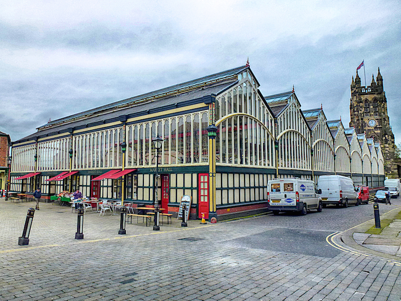
Here are the unusual Market Hall, some fine buildings around the square, several coffee shops, Staircase House and the Stockport Story Museum. Stockport Market stands on the 15th century Market Place and is home to the Victorian Covered Market Hall, a Speciality Produce Hall and a vibrant traditional Street Market. The Yorkshire stone Hen Market (as it is fondly referred to locally), was built in 1851 and used for the sale of fresh farm produce. Staircase House is a beautifully restored townhouse situated in Stockport’s historic Market Place. The house is famous for its rare Jacobean cage-newel staircase
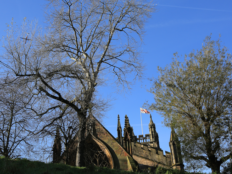
10. Walk clockwise round the Market Hall, then onto Churchgate to the right of St Mary’s in the Marketplace Church.
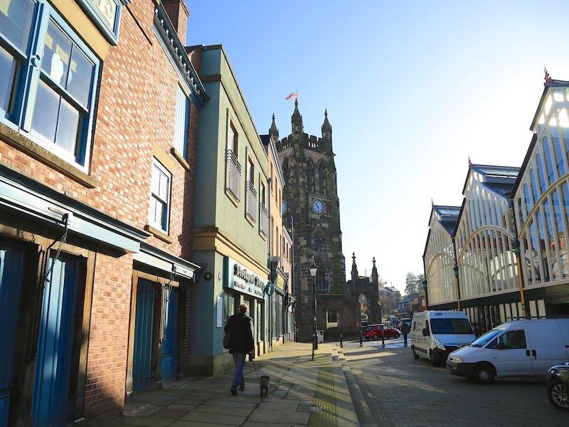
St Mary’s Church, a Grade I listed building, is the oldest parish church in the town of Stockport. A church was on the site by 1190 but of that church only the original oratory remains. Around 1310 a new church was built and only its chancel remains. The rest of the present church was built between 1813 and 1817 to the design of Lewis Wyatt.

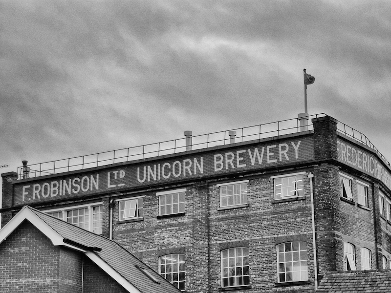
11. After the church head along Churchgate, then right on Harvey St, towards the Unicorn Brewery Visitor Centre noting the Wellspring Centre on the right.
Unicorn Brewery rests over the foundations of the Unicorn public house. William Robinson, originally the pub landlord, purchased the inn in 1838. By 1849 George, his oldest son, had started to brew the first Robinson’s ale. By the 1860’s Robinson’s ale was available at many pubs in and around Stockport. There are now 330 Robinson’s pubs across the north-west.
12. Retrace your path to the Churchyard and take the steps at the eastern end (a little difficult to find under the trees) down to Millgate.
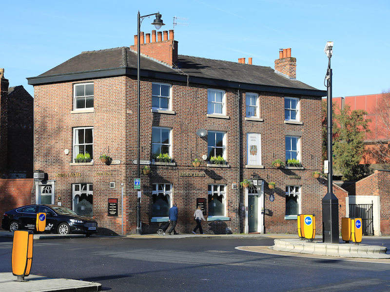
Note the Arden Arms along Millgate on the left.
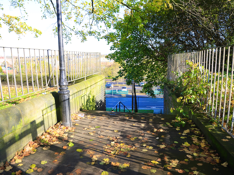
13. Cross the road at the pedestrian crossing, go through the car park and take the riverside walk near the yellow height barriers to your right along the River Goyt. Follow this path until it rejoins New Bridge Lane.
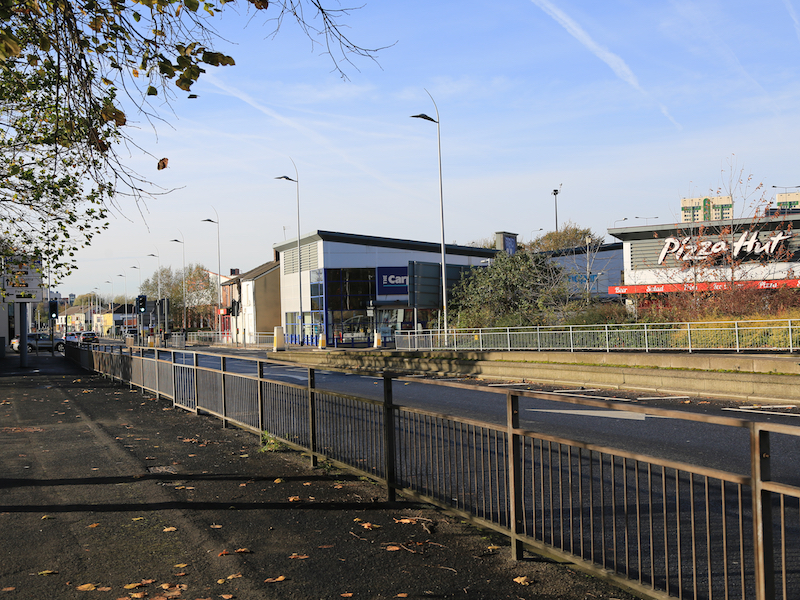
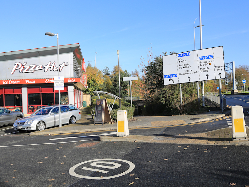
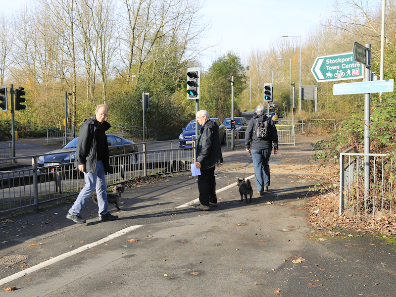
14. At the top of the steps turn left along New Bridge Road and turn left at the busy St Mary’s Way. Head for Portwood roundabout under the motorway. Turn left at the roundabout, cross at the first pedestrian crossing by Pizza Hut and use the pedestrian underpass to cross to the north eastern side.
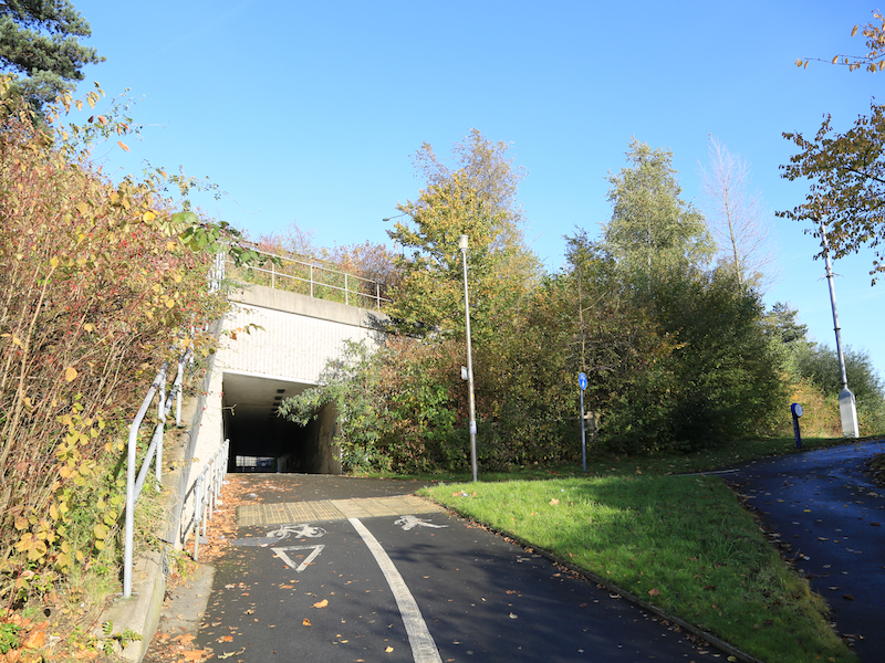
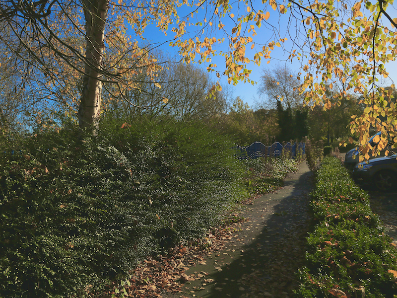
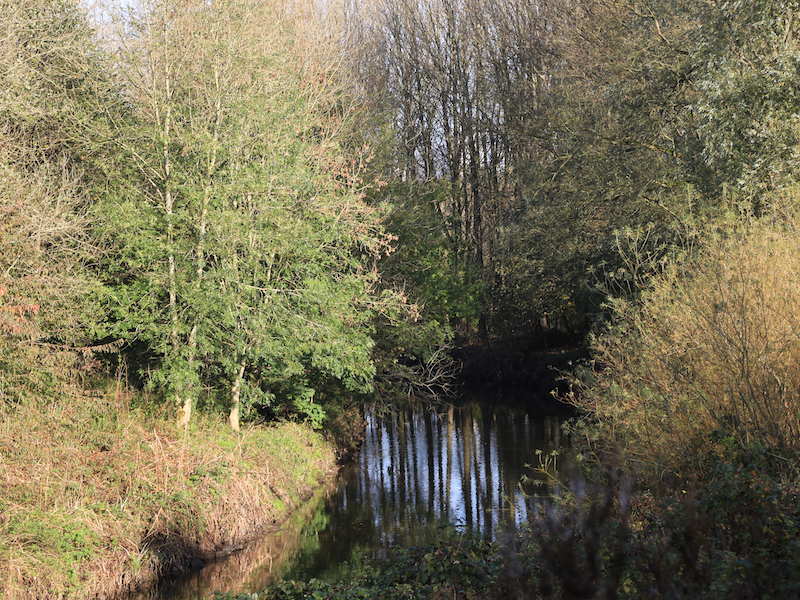
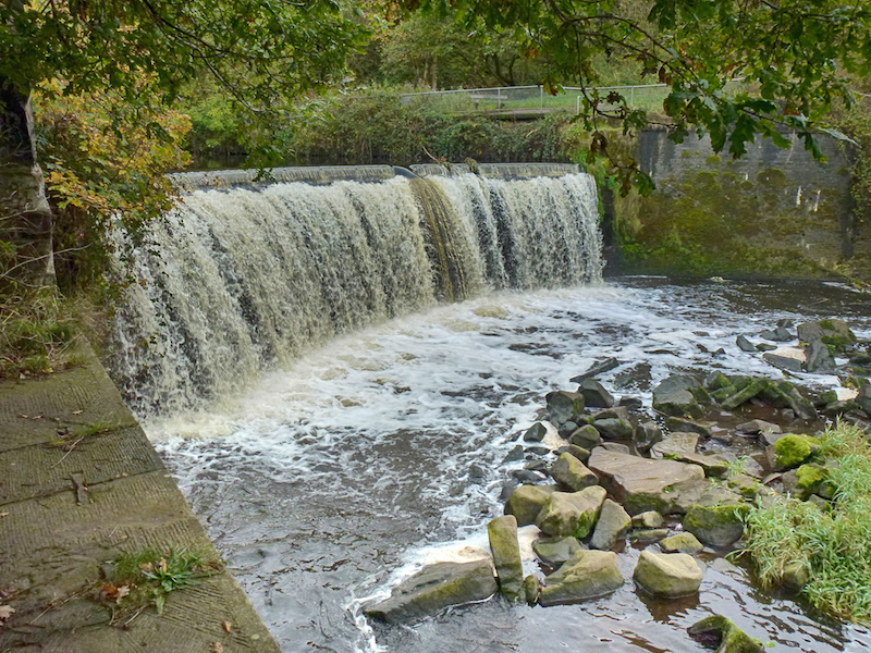
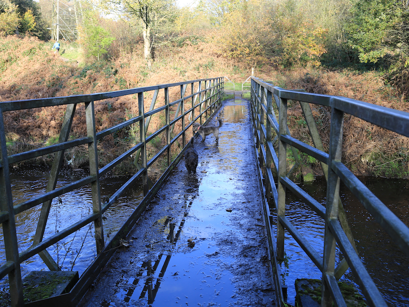
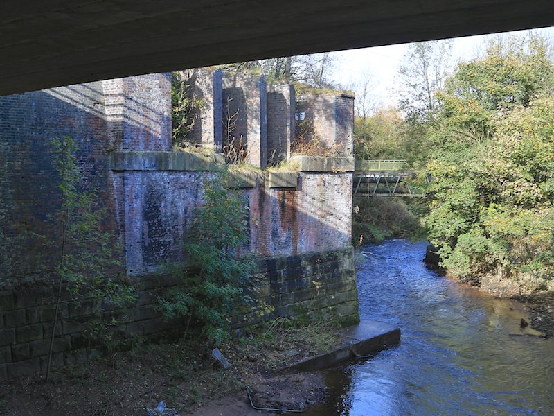
15. Leave the underpass and turn left. At the far corner of the small car park take the entrance to the Vale on the south side of the river, along the tarmac road. You are now beside the River Tame. Take the left fork, keeping next to the river and walk about half a mile up to Harrison’s Weir. Turn around and cross the river by the footbridge, Electric Bridge and turn left after the bridge. Follow the path through the woods and across the field.
The Goyt, Tame and Mersey all provided power for mills in the Portwood area of Stockport. Electric Bridge takes its name from the early electrical power generation schemes on the Goyt. Watercourses were built to channel the flow from the rivers to mills in the area. The remains of these are still visible.
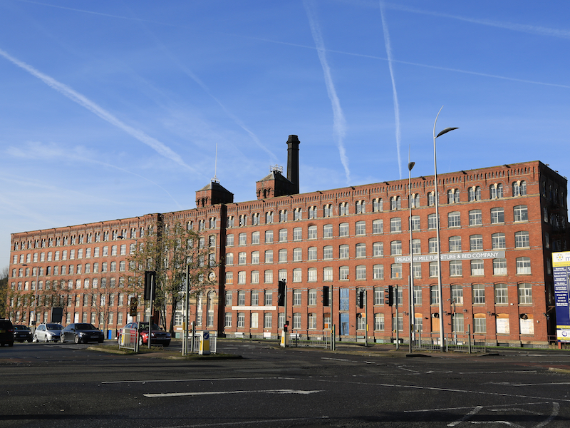
16. Cross the road at the pedestrian crossing, noting the magnificent Meadow Mill ahead.
Built for T & J Leigh, cotton and wool spinning c 1880, it had 120,000 spindles in 1914. There are twin, six-storey brick built mills with ornamental engine house between, of fireproof construction, with cast-iron pillars between windows on the top storey.
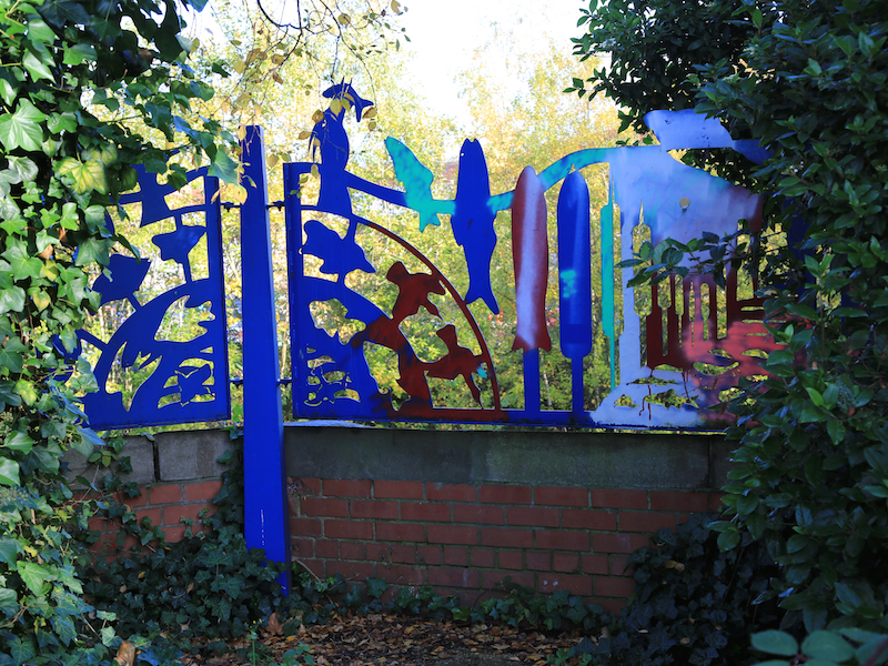
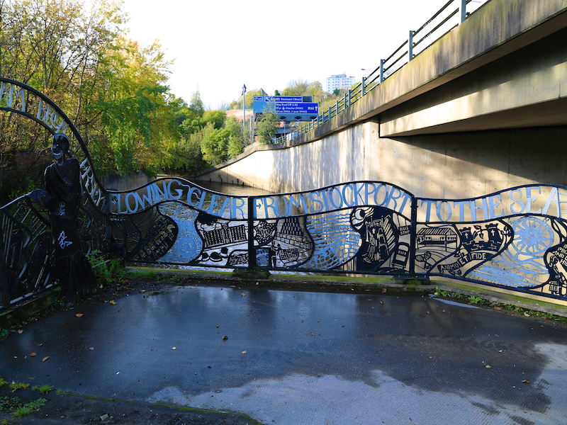
17. Take the path ahead of you that follows the river round behind the mill. Cross the river on a footbridge and turn left, under the motorway to the birthplace of the Mersey. Return to the footbridge over the Tame.
This point, the confluence of the Tame and the Goyt is marked by some fine municipal artwork.

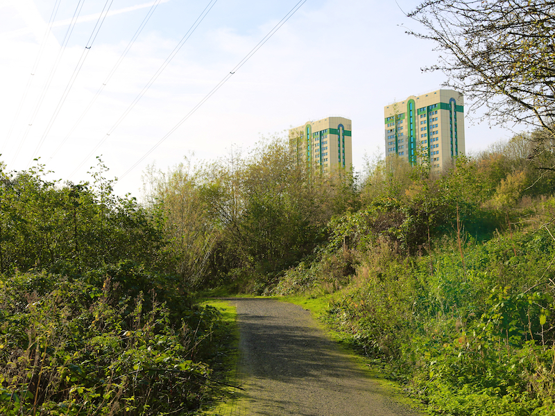
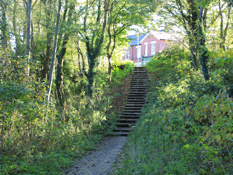
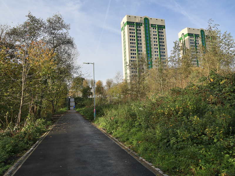
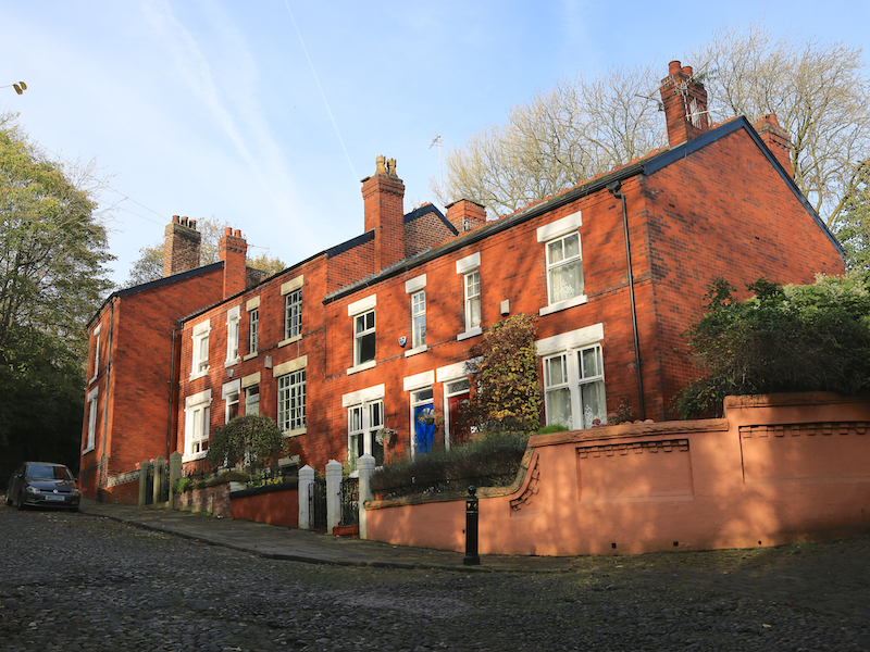
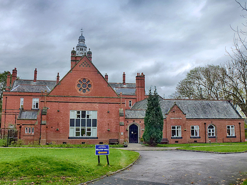
18. Go straight ahead from the footbridge towards the steps and blocks of flats (onto Penny Lane) and turn left to go briefly down Lancashire Hill. Cross the road before the lights and go up the first flight of steps onto a cobbled road, Dodge Hill. Ascend the hill, noting Pendlebury Hall (now a Nursing home) on your right. Retrace your steps, descending to the motorway bridge.
The Dodge family were notable Stopfordians from the 13th century, with a family home in Offerton. Dodge City and Dodge motors are named after descendants of the Dodge family, several of whom emigrated to the USA. This part of Stockport has been deemed a conservation area because of the elevated key historic buildings – the Christadelphian Church, St Mary’s Church (Pugin and Pugin) and the Grade II Listed Pendlebury Hall, one of the most important late Victorian buildings in Stockport.
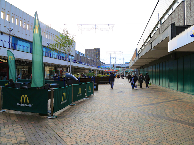
19. Cross the motorway bridge head directly, via Tiviot Dale towards the shopping precinct. Turn right into the shopping centre, then left at the sign to the Air Raid Shelter, cross the road, turn left then sharp right up the cobbled ramp ascending from Chestergate behind the previously visited Air Raid Shelter entrance.

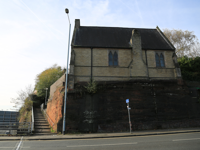
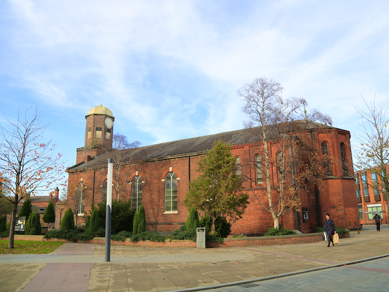
20. Ascend the ramp to St Peter’s Square, where you will find St. Peter’s Church ahead.
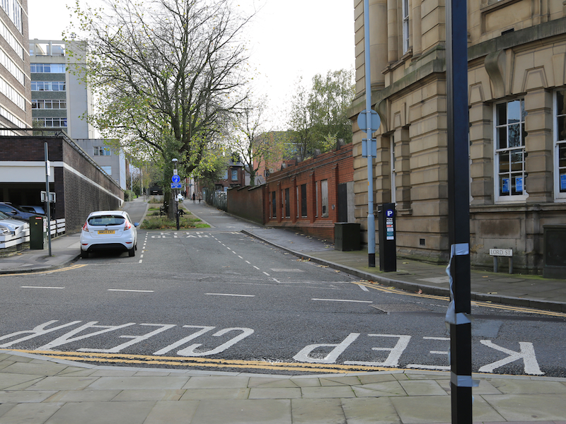
Saint Peters Church is a Georgian church built in 1768 during the reign of George III, at the sole cost of William Wright of Mottram Hall, Mottram St Andrew, near Prestbury, who owned extensive properties in Offerton and had a town house on Lord Street.
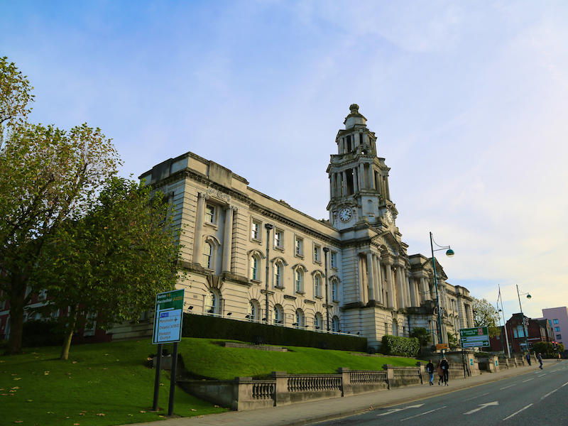
21. After visiting the Church, leave St. Peter’s Square along the pedestrianised road, following signs to the Town Hall, up Lord Street, then turn right towards the A6, noting Stockport’s Town Hall at the corner of Edward Street and Wellington Road South.
Stockport Town Hall is well-known locally for its striking front façade of white Portland stone, leading to the building fondly being referred to as the “wedding cake Town Hall”. It was designed by architect Sir Alfred Brumwell Thomas, and opened by the then Prince and Princess of Wales on 7th July 1908.

22. Cross Wellington Road South at the lights and turn right down the hill. Railway Road, the next left, takes you back to the railway station.