Superlative Walks
Urban and rural trails, each with something very specialPontcyllte Aqueduct – Directions
The Pontcysyllte Aqueduct walk starts and finishes at the Trevor Basin, at the Northern end of the aqueduct. It follows good paths down from one end of the aqueduct, along the partially wooded banks of the River Dee to the Cefn Viaduct and Ty Mawr Country park. It then follows a road past the village of Pentre before using the towpath of the Llangollen Canal to cross the aqueduct and return to the starting point.
1.The walk starts at the footbridge crossing the canal at Trevor Basin. Take the canalside and, just after passing the visitor centre and just before reaching the viaduct, by the ‘hand sculpture’ take the signposted path that forks left and down. For an alternative start at Chirk Station, see Variation 2 below
More information
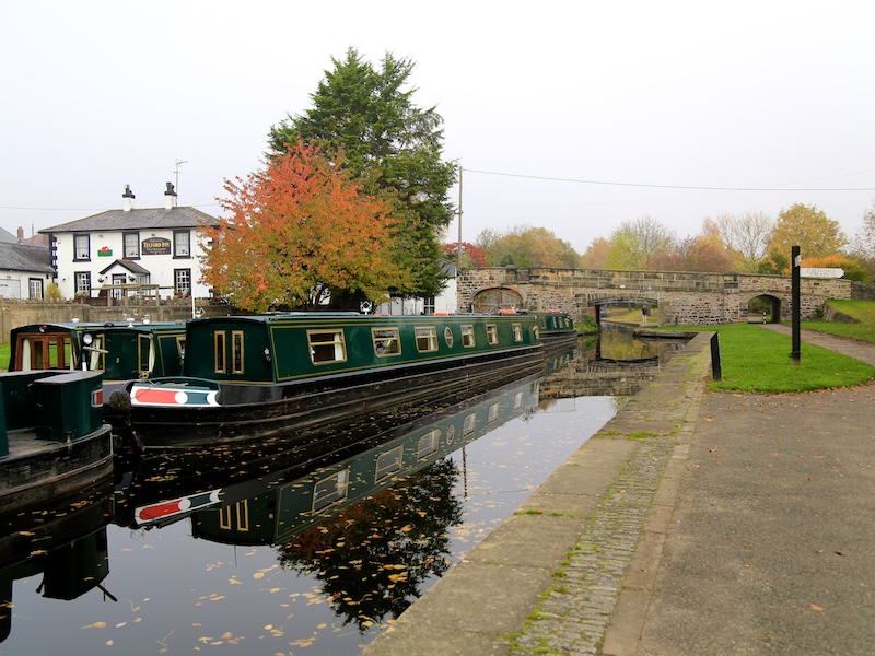
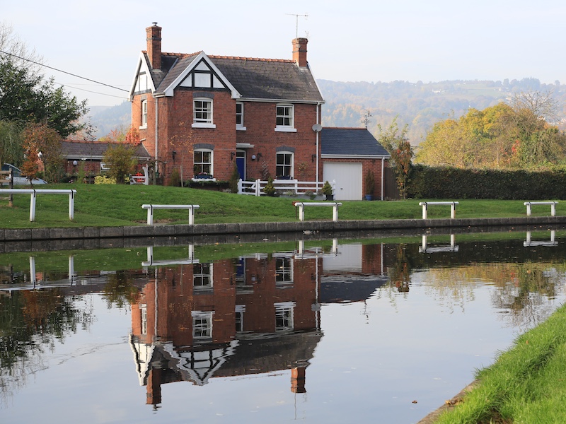
Trevor Basin is a canal basin on the Llangollen Canal, situated near Trevor, in Clwyd, between Llangollen and Ruabon. The basin was originally built at the northern end of the central section of the Ellesmere Canal, c150 metres north of the Pontcysyllte Aqueduct. With the abandonment of the planned extension to Chester, Trevor Basin became the terminus of the Ellesmere Canal. The canal was later extended westwards, to Llangollen and the Horseshoe Falls, to act as a feeder.
Trevor Basin became an extremely important loading wharf facility during the eras of canals and railways, having a good interchange between the two transport systems. Initially with horse drawn rail roads and tramways and later in the age of the steam with railway engines.

Hand sculpture
Trevor Basin
Trevor Basin
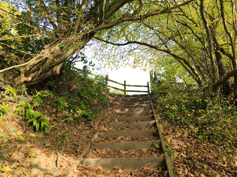
2. Carry straight on past the first signpost and head down in the direction of the aqueduct. At the signpost immediately before the aqueduct, take the left turn signposted Tŷ Mawr Country Park and head down the hill on steep steps. At the bottom of the descent, turn left and follow the path through the wooded area.
More information
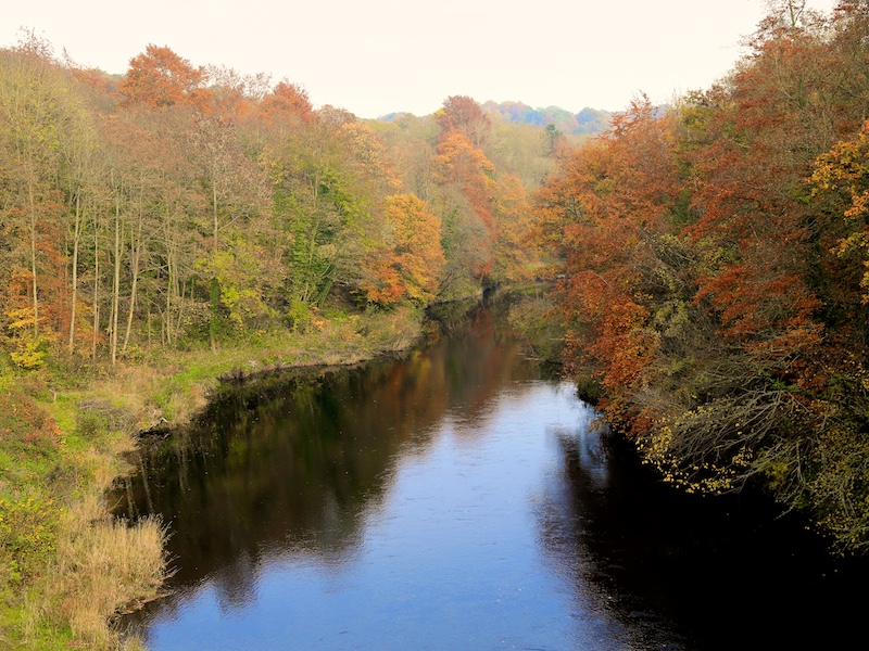
There are good views back up the River to the Aqueduct from an open area to the right of the path.

Path down to Aqueduct

Signpost before Aqueduct
Turn left
Path through woods
View Back to Aqueduct
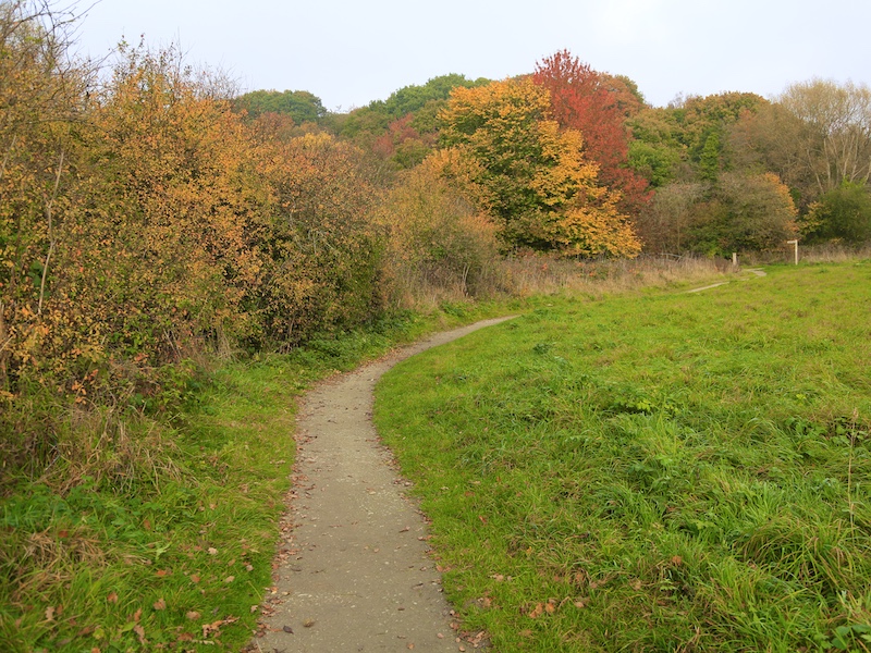
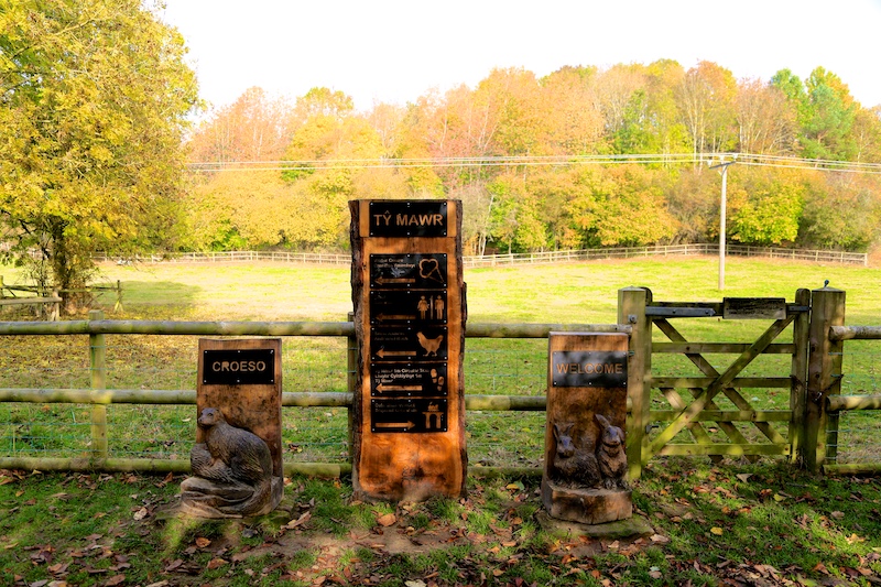
3. Keep following this path and the signposts for Tŷ Mawr Country Park. Immediately after crossing the shallow humpback bridge, take the path on the right signposted Tŷ Mawr Country Park.
More information
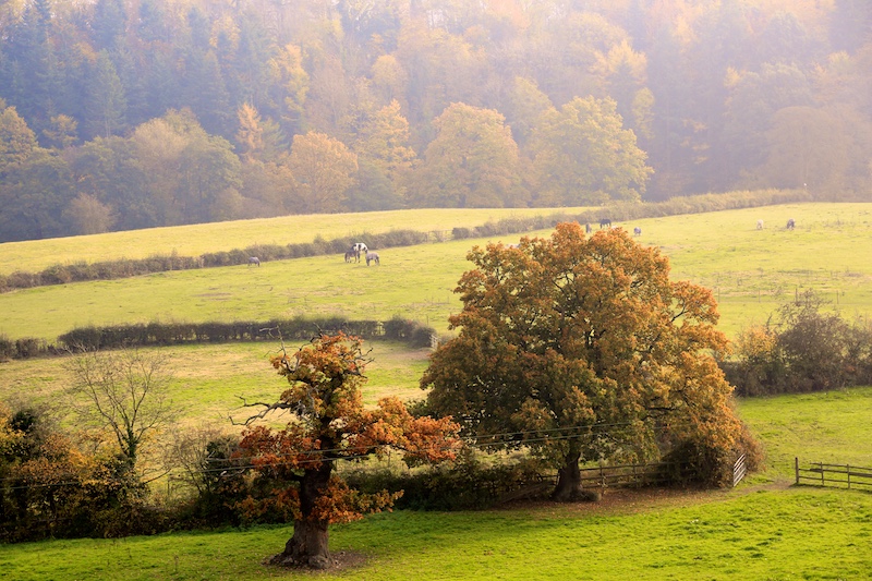
Tŷ Mawr’ is Welsh for ‘Big House’. The Country Park covers 35 acres and includes a working farm and is home to a variety of animals. The park lies between the Cefn Viaduct and the Pontcycyllte Aqueduct which is now a UNESCO World Heritage Site.
Looking down the river
Looking back along the path

Timber-edged causeway
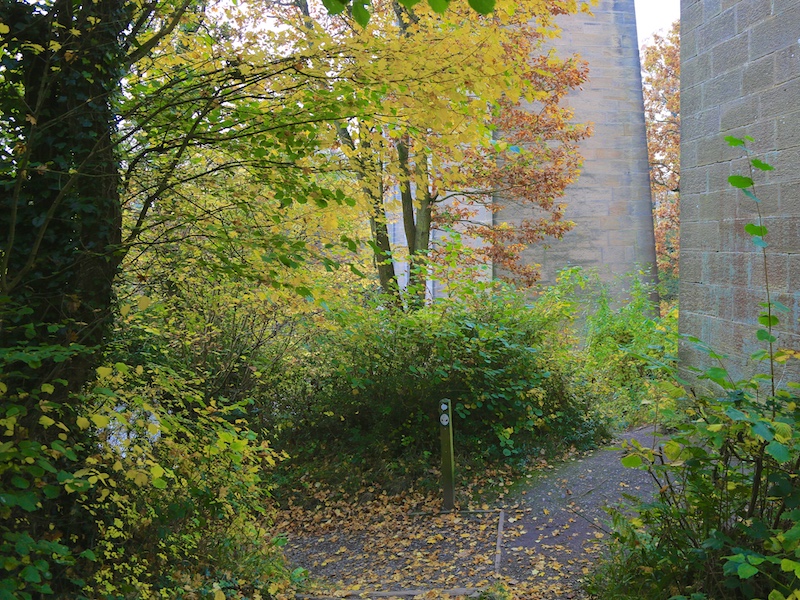
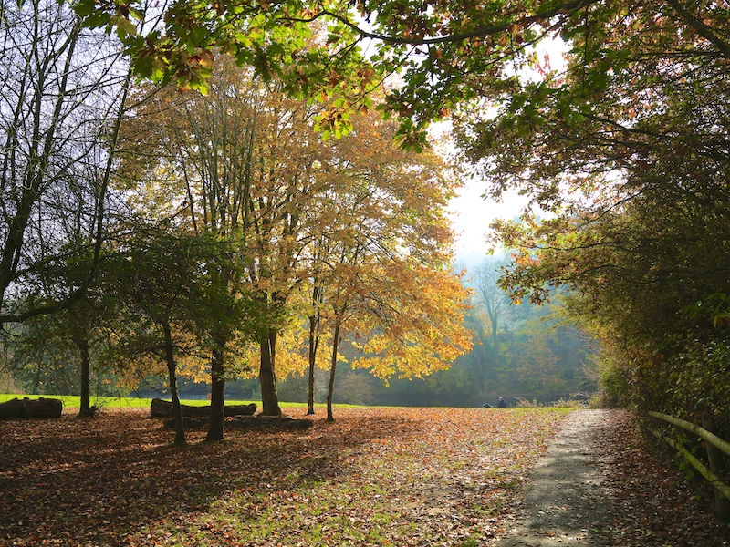
4. Follow this path as it skirts along the edge of the meadow by the river until crossing a timber-edged causeway and then reaching some steps up to another path where there is a sign indicating the various amenities within Tŷ Mawr. Turn right and walk along this path heading towards the viaduct that is visible in the distance.
Pictures
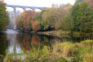
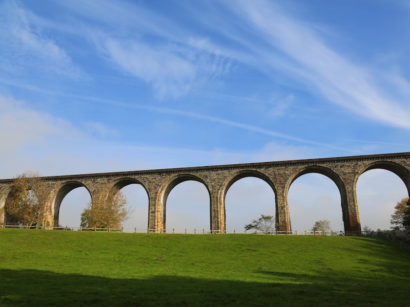
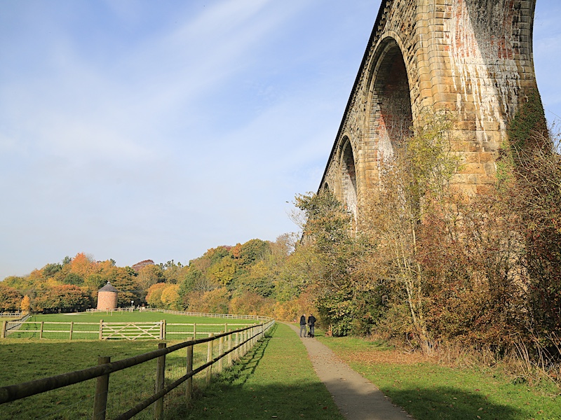
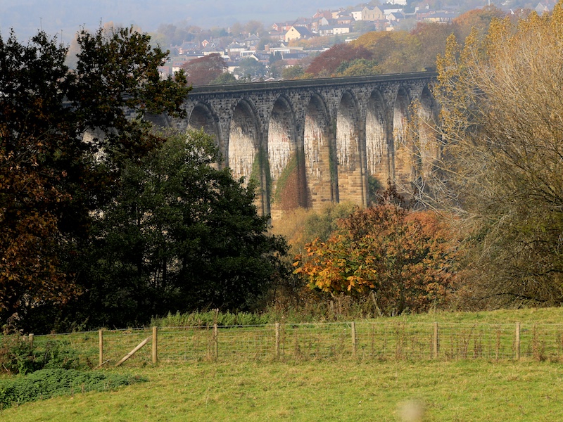
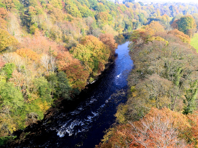
Cefn Viaduct crosses the River Dee at Cefn Mawr (“big ridge”) and measures one thousand five hundred and eight feet in length, standing one hundred and forty-seven feet above the level of the river. The structure is supported by nineteen arches with sixty foot spans. Construction was completed over two years by Thomas Brassey and it was opened in 1848 to carry the Shrewsbury and Chester Railway across the valley of the River Dee.
Up steps
Ty Mawr signs
Cefn Viaduct
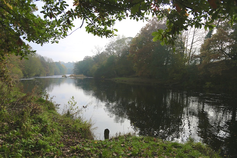
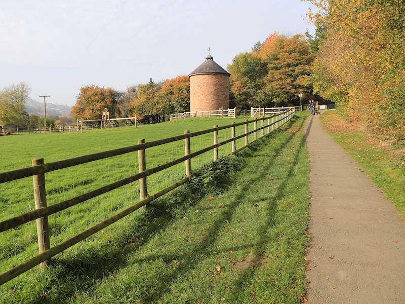
5. Follow the path as it passes alongside the River Dee and then around to the left, alongside the railway viaduct until reaching the yellow gate just beyond the picnic area adjacent to the circular dovecote.
More information
The River Dee (Afon Dyfrdwy) flows through parts of both Wales and England, forming part of the border between the two countries. The river rises in Snowdonia, Wales, flows east via Chester, England, and discharges to the sea in an estuary between Wales and the Wirral Peninsula in England. It has a total length of 70 miles (110 km).
The River Dee was the traditional boundary of the Kingdom of Gwynedd in Wales for centuries, possibly since its founding in the 5th century. It was recorded in the 13th century as flumen Dubr Duiu; the name appears to derive from the Brythonic dēvā: “River of the Goddess” or “Holy River”.
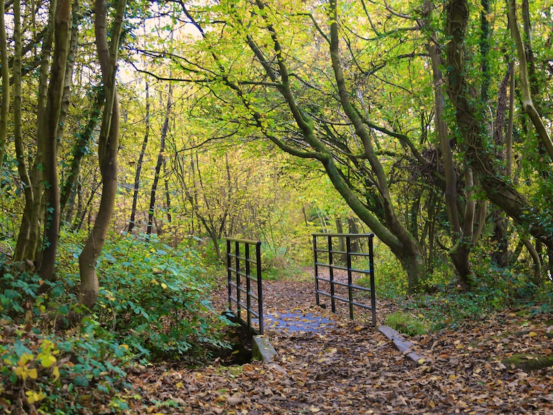
6. Cross the lane and go through the other yellow gate to reach a path with wooden railings that twists up through the wooded area towards the Park’s Visitor Centre. Follow the signs in the direction of refreshments and toilets.
Pictures

The other yellow gate

Path with wooden railings

Ty Mawr visitor centre
7. At the main building, turn right passing in front of the building and towards the bollards and exit. Carry straight on past the bollards and the entry to the car park. On reaching the road (Cae-Gwilym Lane) turn right and follow the lane round to the left to pass under the railway arch.
Pictures
Cae-Gwilym Lane
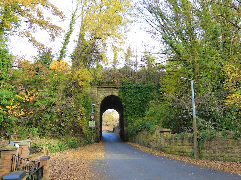
Railway arch
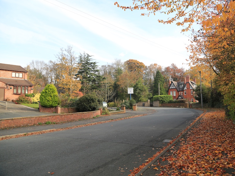
8. At the end of the lane, turn right along the main road (B5605). Follow this road as it passes through Newbridge and across the River Dee with fine views on both sides and then heads up towards Chirk.
Pictures
View from main road

View from Newbridge
View from Newbridge
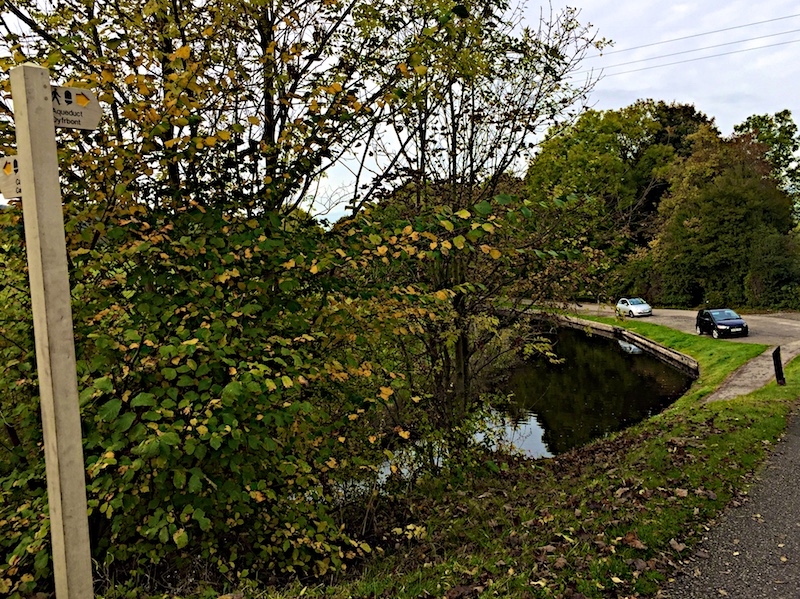
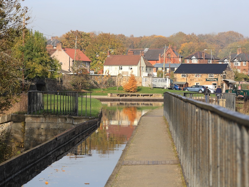
9. After passing the two roads turning off to the left at Pentre and after crossing the railway bridge, immediately before the bridge over the Llangollen Canal, turn right at the signpost for the Aqueduct and follow the canal tow path. This section until it reaches the footbridge at Frontcysyllte is part of Offa’s Dyke Path.
More information
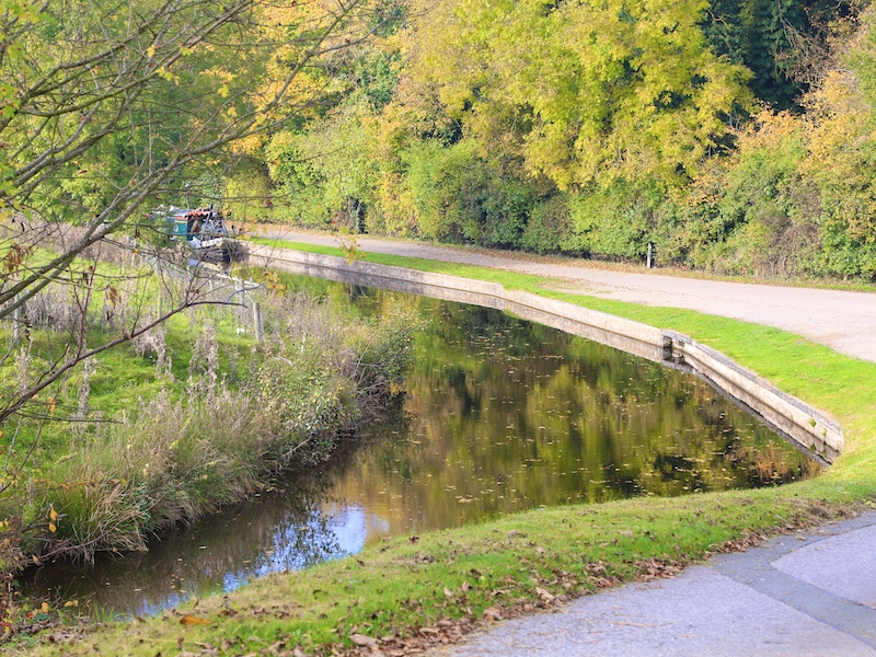
The Llangollen Canal (Camlas Llangollen) is a navigable canal crossing the border between England and Wales. The waterway links Llangollen in Denbighshire, north Wales, to the Shropshirere Union Canal at Hurleston in south Cheshire, via the town of Ellesmere, Shropshire. In 2009 an eleven-mile section of the canal from Gledrid Bridge near Rhoswiel through to the Horseshoe Falls, which includes Chirk Aqueduct and Pontcysyllte Aqueduct, was declared a World Heritage site by UNESCO.
Offa’s Dyke Path is a 177 mile (285 Km) walking trail, named after the spectacular Dyke King Offa ordered to be constructed in the 8th century, to divide his Kingdom of Mercia from rival kingdoms in what is now Wales
The Trail, which was opened in the summer of 1971, links Sedbury Cliffs near Chepstow on the Severn estuary with Prestatyn on the Irish sea. It passes through eight different counties and crosses the border between England and Wales over 20 times. The Trail explores the Marches (as the border region is known) and passes through the Brecon Beacons National Park on the spectacular Hatterrall Ridge. It links three Areas of Outstanding Natural Beauty – the Wye Valley, the Shropshire Hills and the Clwydian Range / Dee Valley.
View of Aqueduct, near Pentre
Down to the towpath
Down to the towpath

Llangollen Canal
Llangollen Canal

Llangollen Canal
10. Follow the tow path and cross the aqueduct to return to the starting point. For an alternative route avoiding the aqueduct, see Variation 1 below.
More information
The Pontcysyllte Aqueduct (Traphont Ddŵr Pontcysyllte) is a navigable aqueduct that carries the Llangollen Canal over the valley of the River Dee in Wrexham County Borough in north east Wales. Completed in 1805, it is the longest and highest aqueduct in Great Britain, a Grade I Listed Building and a World Heritage Site. The viaduct carries a water passage for a single canal narrow boat as well as a towpath for pedestrians. When the bridge was built, it linked the villages of Froncysyllte, at the southern end of the bridge in the Cysyllte township of Llangollen parish and Trevor (Trefor in Welsh), at the northern end of the bridge in the Trefor Isaf township, also of Llangollen parish.
The name Pontcysyllte is in the Welsh language and means “Cysyllte Bridge”.
The township of Cysyllte existed for centuries before the bridge was built.
For most of its history, the aqueduct was known as Pont y Cysyllte (“Bridge of Cysyllte”).
The aqueduct was built by Thomas Telford and William Jessop, it is 307m long (1007 ft), 3.7m wide (11.10 ft) and 1.60m (5.25 ft) deep.
It consists of a cast iron trough supported 126 ft (38 m) above the river on iron arched ribs carried on eighteen hollow masonry piers (pillars).
Each of the nineteen spans is 53 ft (16 m) wide.

Across Pontcysyllte Aqueduct

On the aqueduct
River Dee from the aqueduct
Trevor Basin from the aqueduct
Variation 1, to avoid walking across the aqueduct.
When following the canal towpath on the final stage, after passing the Lime Kiln on the far side of the canal at Froncysyllte, cross the footbridge or lift bridge and then turn right. Pass through the car park and on reaching the road, turn right.
Follow this road down, across the Bont Bridge, and then up the hill until reaching the signposted footpath on the right. Follow this path back to Trevor Basin.
—————————————————————————————————————————————————————————————
Variation 2, Starting and finishing at Chirk railway station
Exit the station and turn right along the road. Just before the bridge that crosses the Shropshire Union Canal, turn right and join the canal towpath. Follow this path for 2 miles until joining the main route at the bend in the canal just after it passes under the bridge for the B5605.
For the return to Chirk railway station retrace this route on reaching this bridge again on the main route.