Superlative Walks
Urban and rural trails, each with something very specialIntroduction
This walk, starting from the car park at Elsecar, includes a key site in the early industrial revolution and now a mixed use Heritage Village. It then follows public footpaths through fields and woodland, before descending to the parkland of Wentworth Woodhouse, the former residence of the Fitzwilliam family, who developed Elsecar, in the 18th century. The building went through several ownerships and is now being restored by a charitable trust with help from the Heritage Lottery Fund. Passing through the village of Wentworth, with several opportunities for refreshment, the walk returns across fields to Elsecar. These instructions are best read in conjunction with OS Explorer 1:25,000 Map 278.
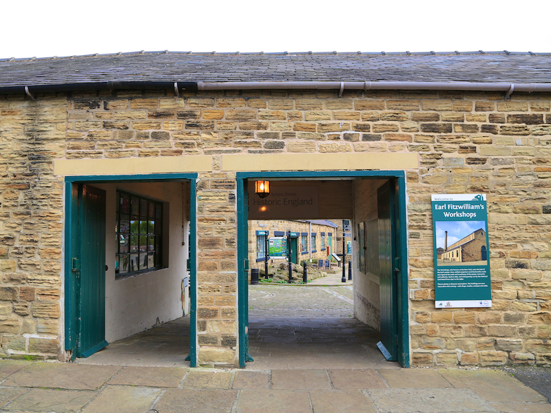
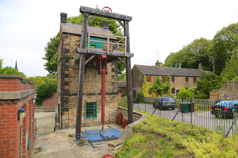
1. The Walk starts in the main car park at Elsecar Heritage Village, which is signposted from most directions. Before starting the walk proper, visit the Heritage Village to locate the first superlative, the Newcomen Steam Engine, to be found in the north-east corner of the site, beyond the old railway line. There are also cafes, shops and exhibits in the Heritage Village.
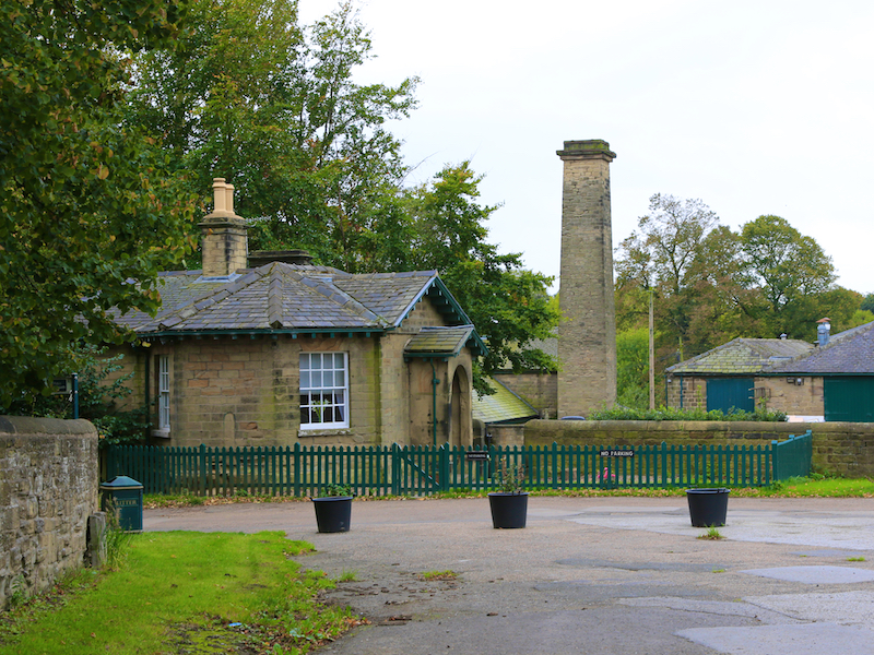
Elsecar
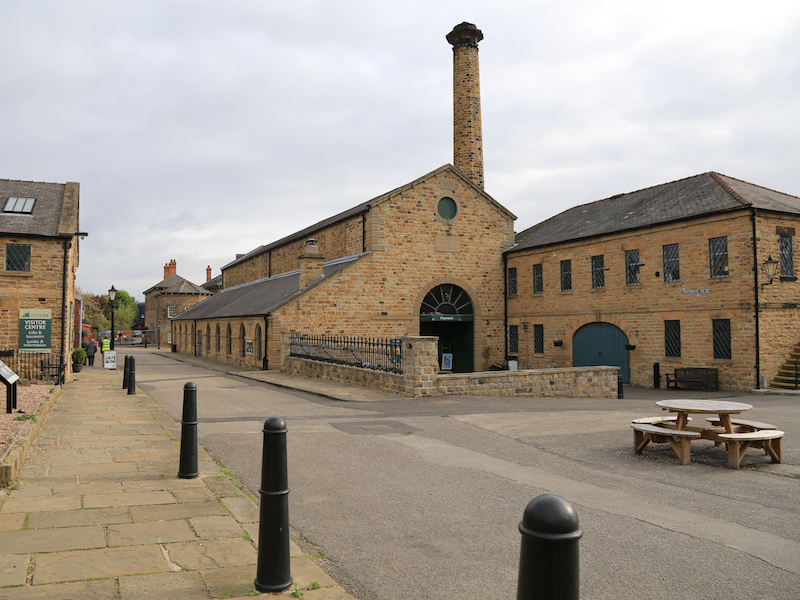
The Heritage Villages preserves and reconstructs the colliery, transport links and ironworks developed by the 4th Earl of Fitzwilliam.
In the NW corner of the Heritage Centre we find our first superlative: the only Newcomen beam engine in the world to have remained in its original location. The Newcomen Engine was built to the instructions of William Wentworth, the 4th Earl Fitzwilliam. It was used to pump water out of Elsecar New Colliery and ran from 1795 until 1923 when it was replaced by electric pumps
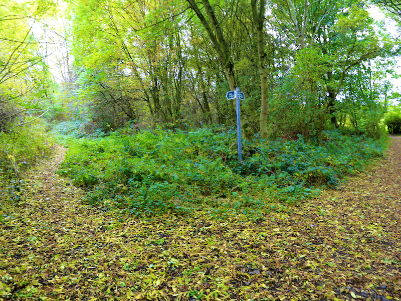
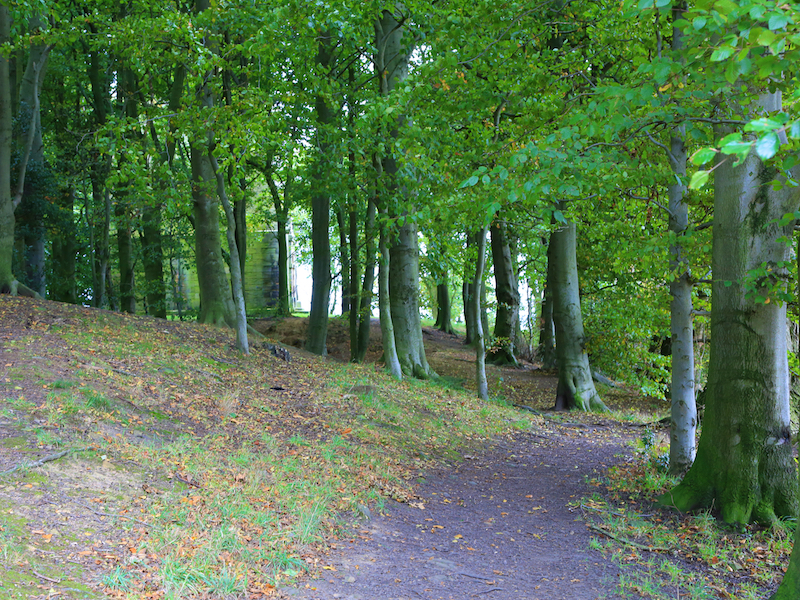
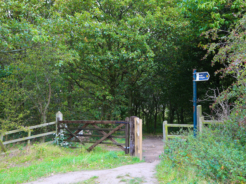
2. Return to the car park and follow the tarmac footpath running right along the wall of the Heritage Village. The path quickly reaches some scrubby woodland. Enter the woodland and continue uphill on the paths to the left of the sign.
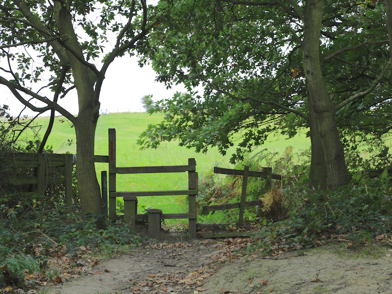
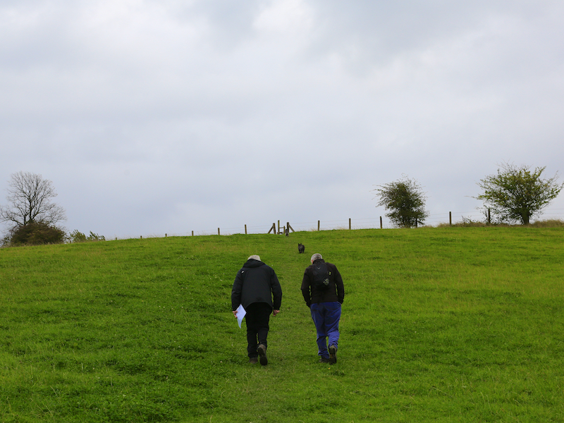
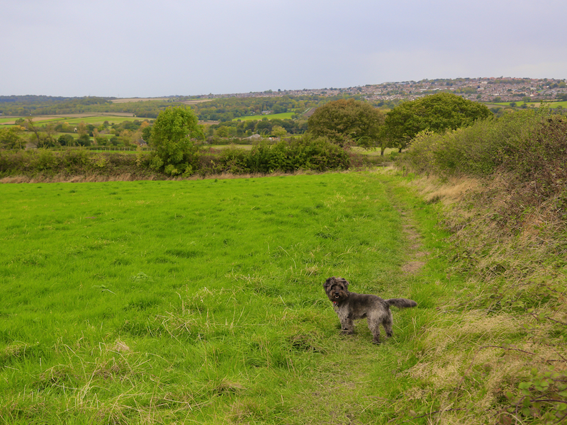
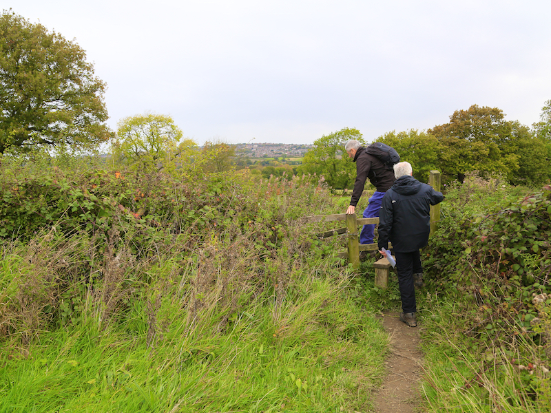
3. Continue up hill through the woods to a stile, then go up and across a grassy field, and across two further stiles before arriving at the broad ridge.
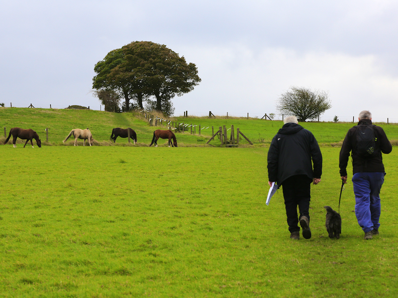
4. Follow the ridge path between two fields until you reach Lee Wood on your right. From the path, within the wood you will see the Needle’s Eye, the first of several follies on this route.
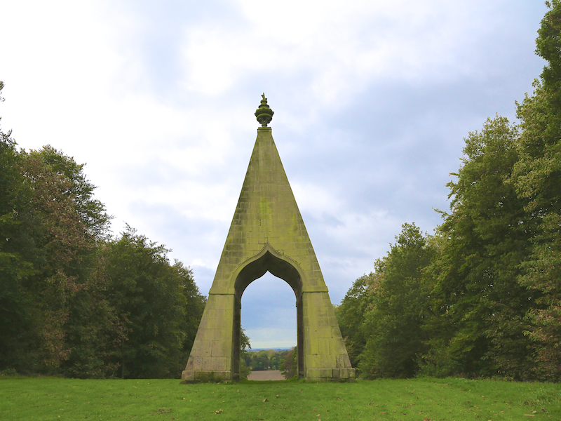
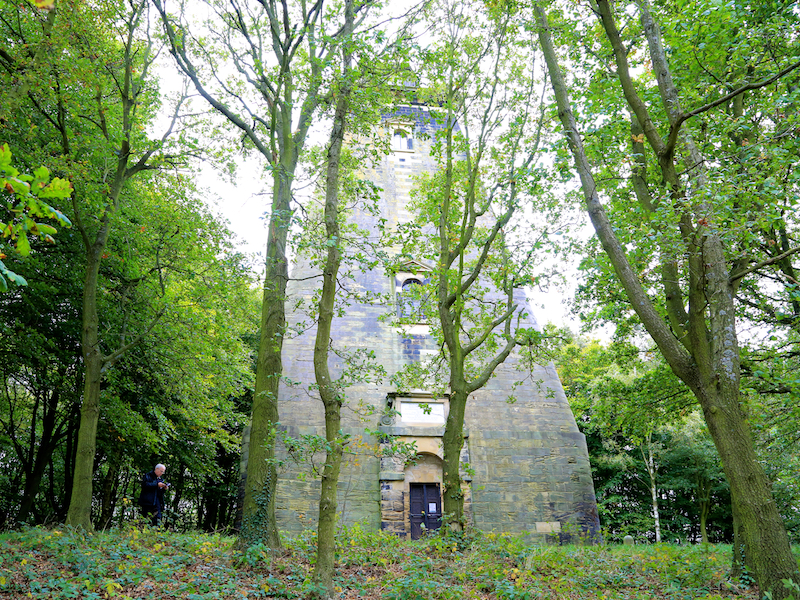
Needle’s Eye
This folly, visible to the right of the route was built around 1746 and is about 45ft high. It was probably constructed to win a drunken wager that the 2nd Marquis of Rockingham had made, that he could “drive a coach and horses through the eye of a needle”. Musket-ball holes suggest that the Eye might have been used for executions of firing practice. It is considered “one of the finest follies in Great Britain” (rejected superlative).
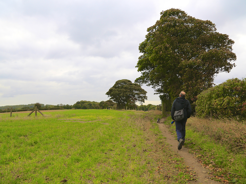
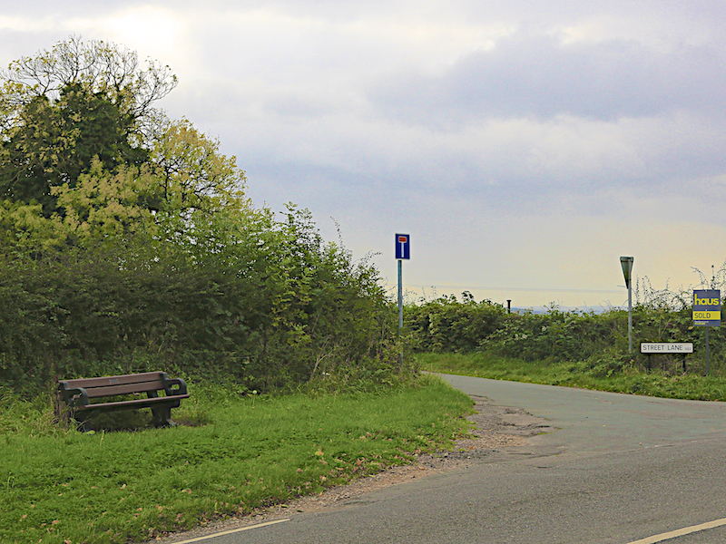
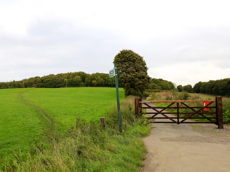
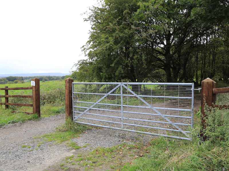
5. The path now emerges on a minor road. Turn right and then, after 25 yards left along Street Lane. Continue along this road for 400 yards, past a footpath sign on your left and a hamlet of houses, and at the end of the surfaced road, just before the gate turn left at the signed footpath, which heads diagonally left across the field towards the woodland, in which is Hoober Stand.
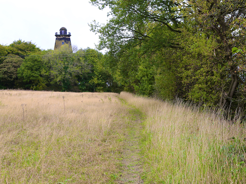
6. Continue across the field as the path leads to woodland where a path leads up through the woods to the next folly: Hoober Stand.
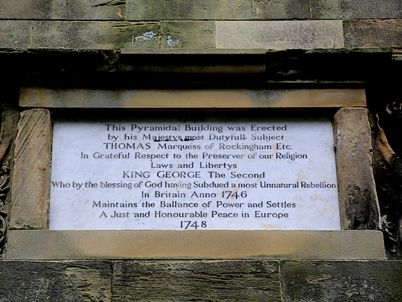
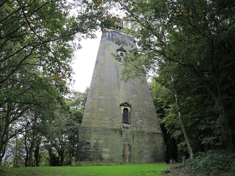
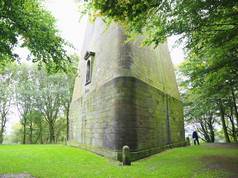
Hoober Stand
This 98ft tower, designed by Henry Flitcroft, was erected by the first Marquess of Rockingham betrween 1747and 1749 to commemorate the quashing of the 1746 Jacobite rebellion. The three walls under the cupola may represent England, Scotland and Wales. The marquess (then plain Earl of Melton) fought for the British Government, which led to his elevation
7. From the door of Hoober Stand, head south down a clear path to Street Lane, and turn right onto the unmade road and head back to Street Lane.
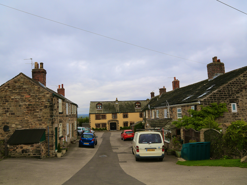
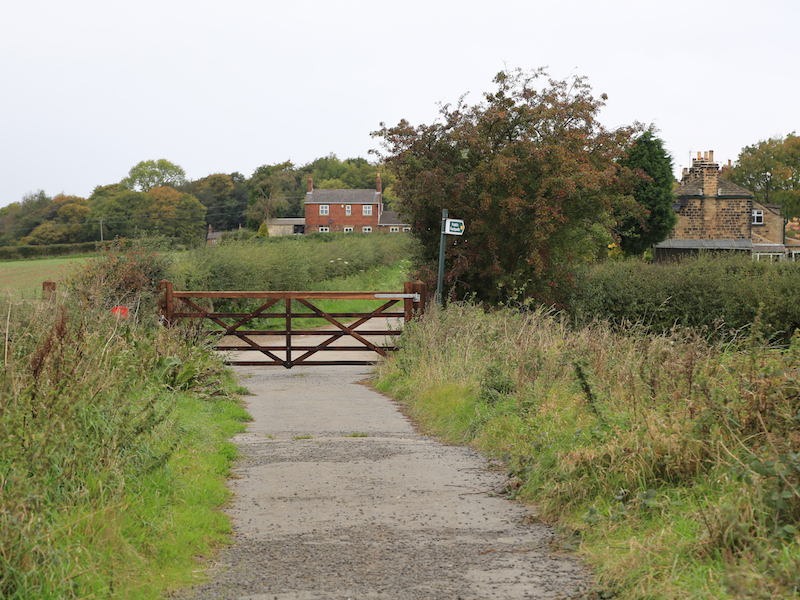
8. The road passes through a gate, and back to the hamlet referred to in 5 above. Opposite the houses a path turns left across fields and down the hill the busy B6091, Cortworth Lane.
9. Turn right, and taking great care not to be run over by passing motor vehicles, follow the road for 800 yards to the road entrance to Wentworth Woodhouse on the left.
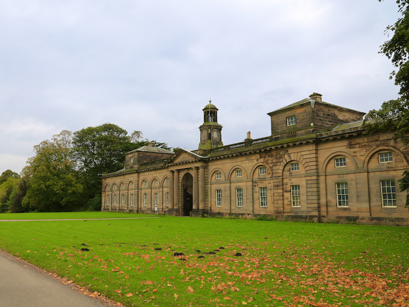
10. Turn left into the park and follow the track for 500 yards, past the entrance to the stables, following it round until you reach a view of the huge facade of Wentworth Woodhouse. From here you may wish to explore the parkland, or visit the house itself.
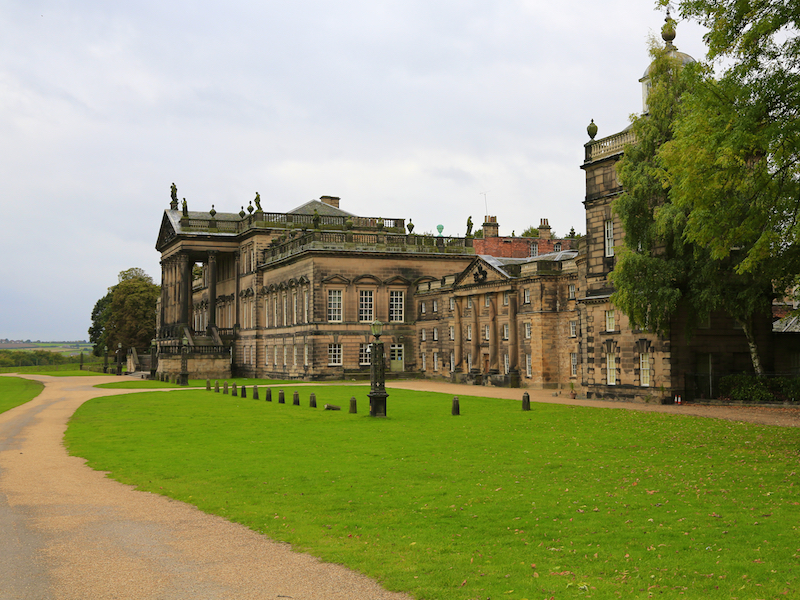
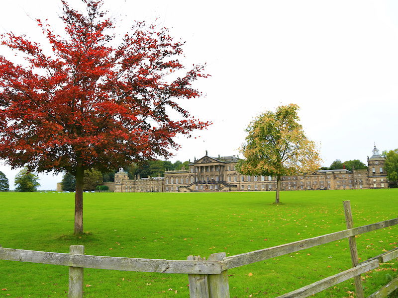
Wentworth Woodhouse
Before you is the facade of Wentworth Woodhouse, a key destination of this walk. It provides two superlatives. It is considered the largest private residence in the UK (larger buildings such as Buckingham Palace are not privately owned) and the east front, clearly visible from our walk, is the longest country house facade in Europe, at 606ft (185 metres) long. The house has more than 300 rooms and covers more than 2.5 acres. The house was built by the 1st Marquess of Rockingham and expanded by his son, the 2nd Marquess. The Fitzwilliam family inherited it in the 18th century and owned it until 1979. After a period of private ownership, the house is now in the ownership of a preservation trust and is in receipt of significant amounts of public funding to support its restoration. The grounds were mined at the command of Manny Shinwell, ostensibly to extract the high quality coal, but in reality as an act of revenge against the aristocracy. The house has had many other uses and is well worth a separate visit
11. Retrace your steps to the entrance to the park and turn left along the main road, the B6090,Cortworth Lane to the village of Wentworth. After 400 yards turn right, at the war memorial.
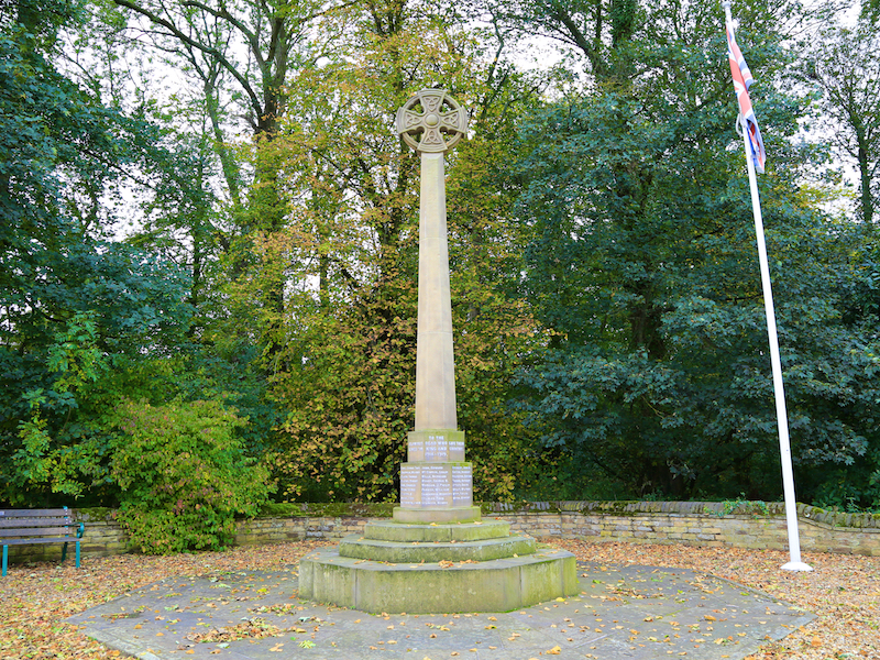
War Memorial
Erected in 1922, the Grade II Listed war memorial was commissioned by Lady Fitzwilliam (of Wentworth Woodhouse) to commemorate the 26 men who lost their lives in the Great War. It was then enhanced to remember the five local men who died in WWII.
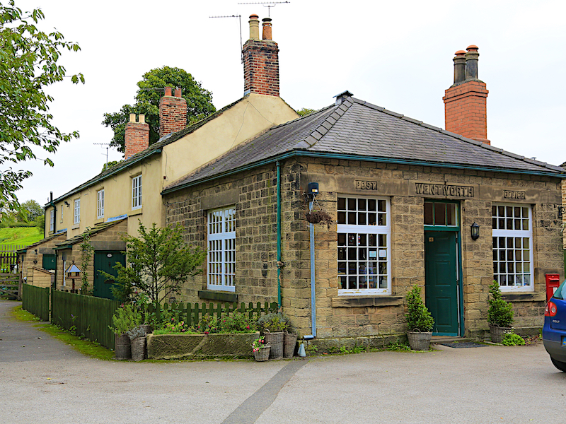
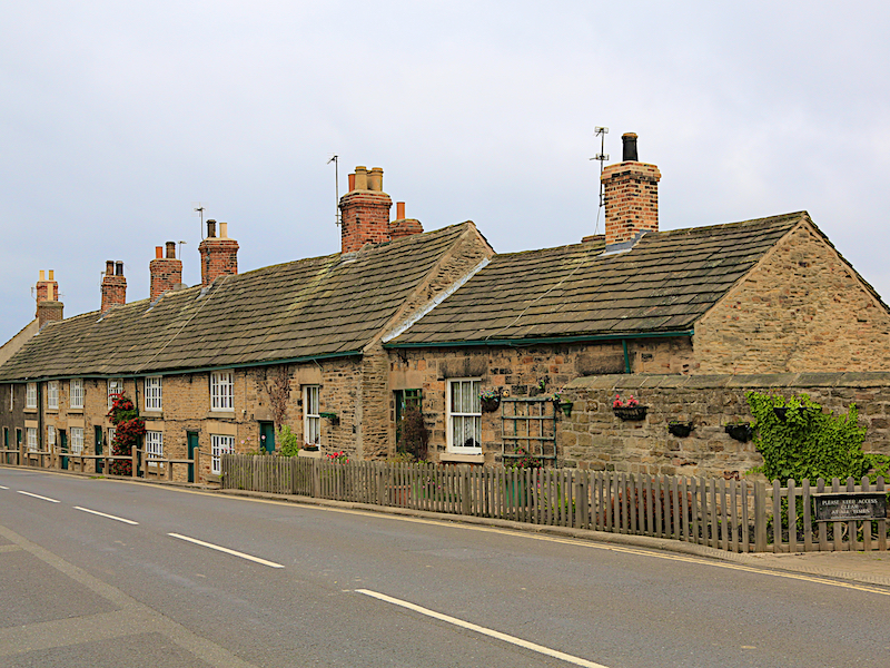
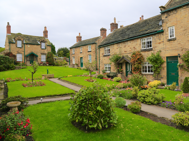
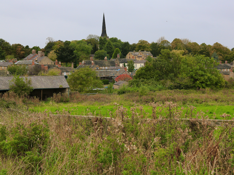
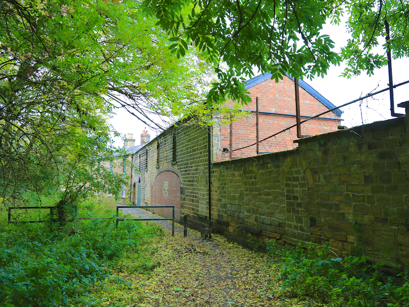
12. Continue along Main Street, through the Village of Wentworth, passing the attractive post office on the right. There are several opportunities for refreshments here, including the historic Rockingham Arms and the engaging Village Tea Rooms and Garden Cafe. Pass Paradise Square on the left.
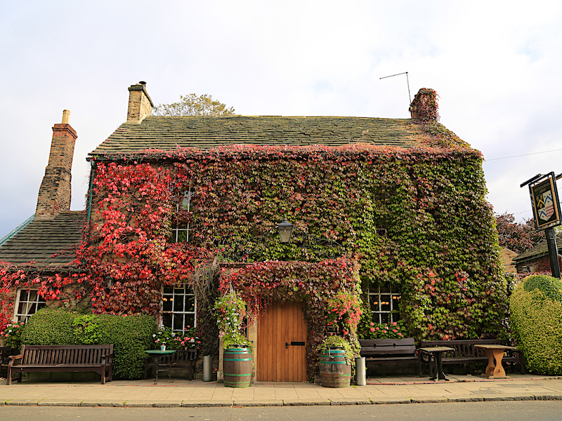
Wentworth village, dating back at least to 1066, was almost entirely owned by the Wentworth family and their descendants, although it now has more independence. Some of the cottages of the Main Street house a number of different cafes and shops but the majority are still lived in. The pub at the heart of the village, the Rockingham Arms, dates back to the 19th century and offers a range of beers. It is also dog-friendly.
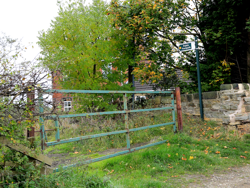
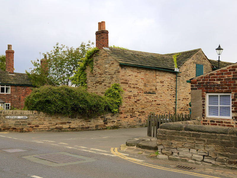
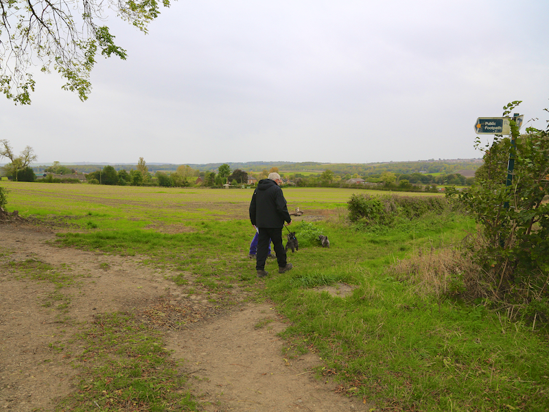
13. 200 yards beyond the pub, take the second turning on the right, Clayfield Lane, and enter the fields at the footpath signpost where the road turns right
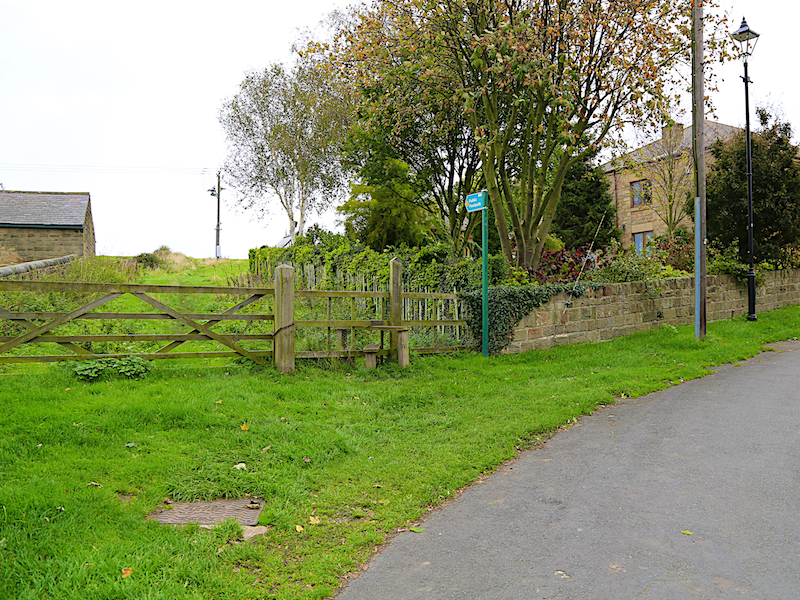
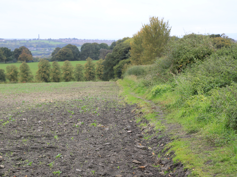
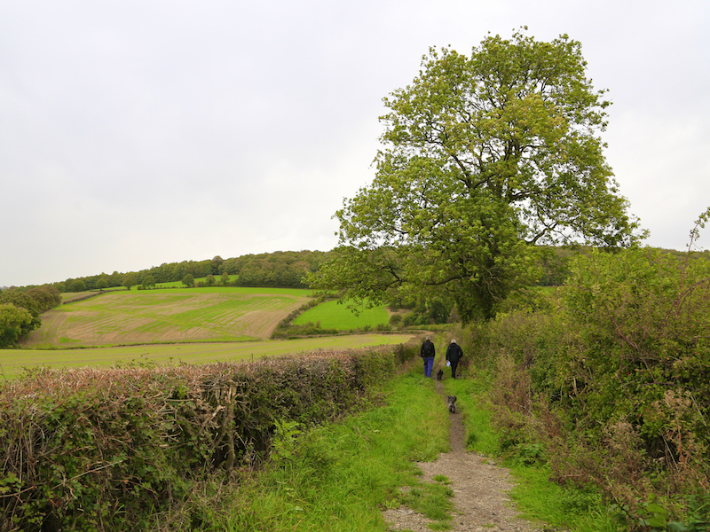
14. Go straight across this field for 275 yards, to a point where the footpath meets the hedge and turn left along the hedge, continuing through four small fields via four stiles.
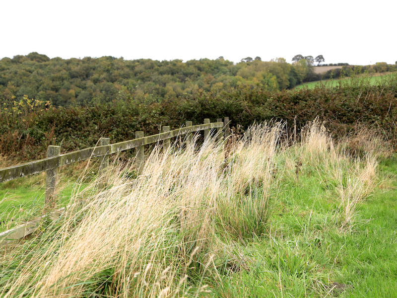
15. Continue on this path and, shortly after a junction of three paths, at a gate follow the path right between two hedges, descending to a gap in the hedges.
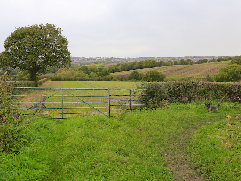
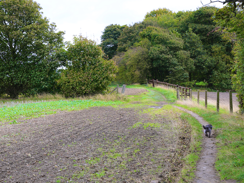
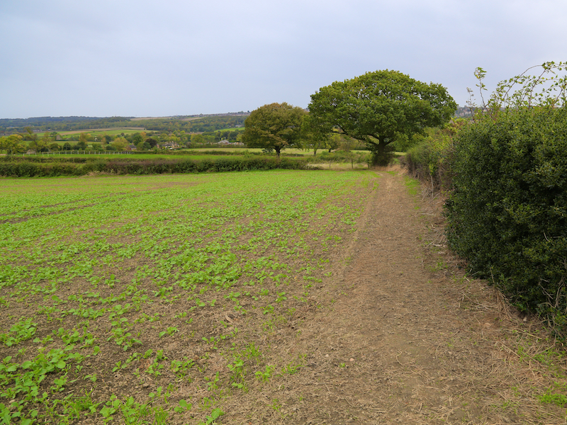
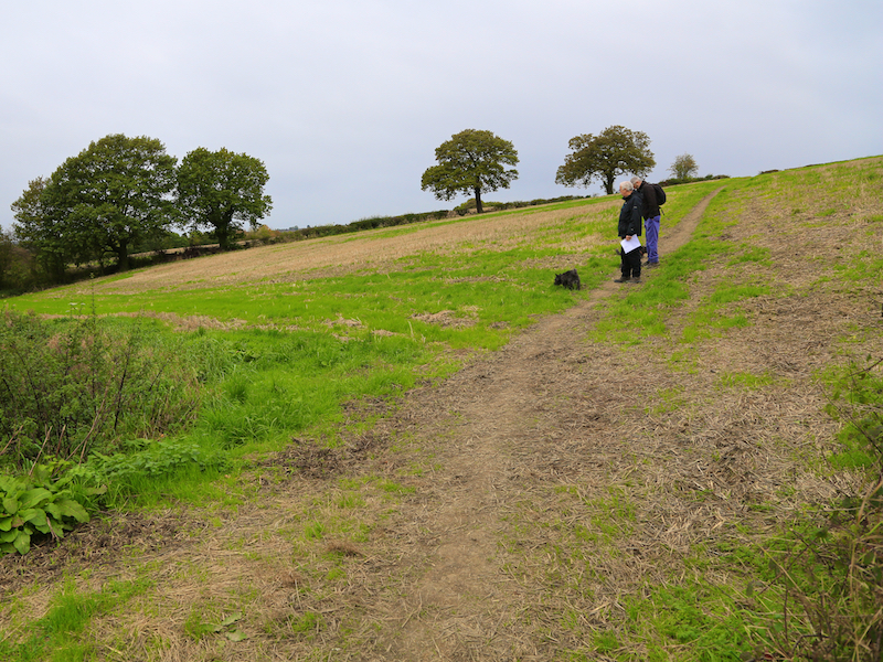
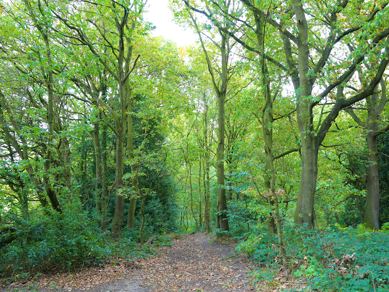
16. At this point, follow the path right across the next two fields, turning left at an oak tree, and continuing enter the woodlands (called King’s Wood) at a five-bar gate.
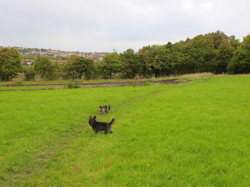
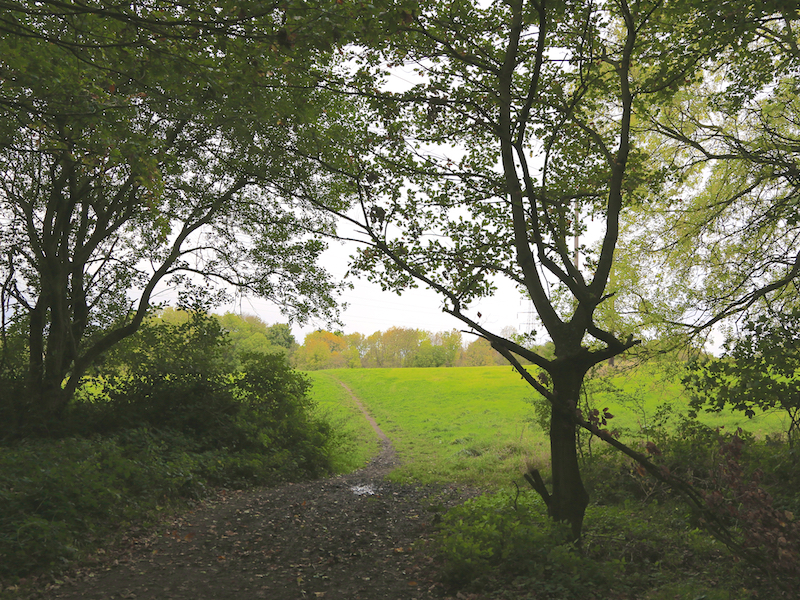
17. Follow the path through the woodland, leaving it briefly to cross a field with electricity pylons in it, before re-entering the woodland to join the path taken at the start of this walk. Return along this path to the car park.
End of Walk